This is a post about our 2026 vacation in the Tatras (Tatry), see Hiking vacation in the Tatra Mountains for an overview.
There was pleasant weather with a rain and thunderstorm warning, so we decided to play it safe and stick to the (relatively) low northern foothills of the Western Tatra. On the one hand, we would be surrounded by higher peaks and vegetation in there, and on the other hand, we would be able to leave the national park (relatively) quickly in case of inclement weather. The last thing you want to do during a thunderstorm is climb a peak and be a human lightning rod, after all – plus, the stones in the Tatra mountains can be pretty slippery when wet, which is a good recipe for getting hurt (Western Tatras) or dying (High Tatras).
Today's trip would lead us across three ridges / peaks and three valleys, with a total elevation gain of about 1,000m spread across three ≈300m climbs.
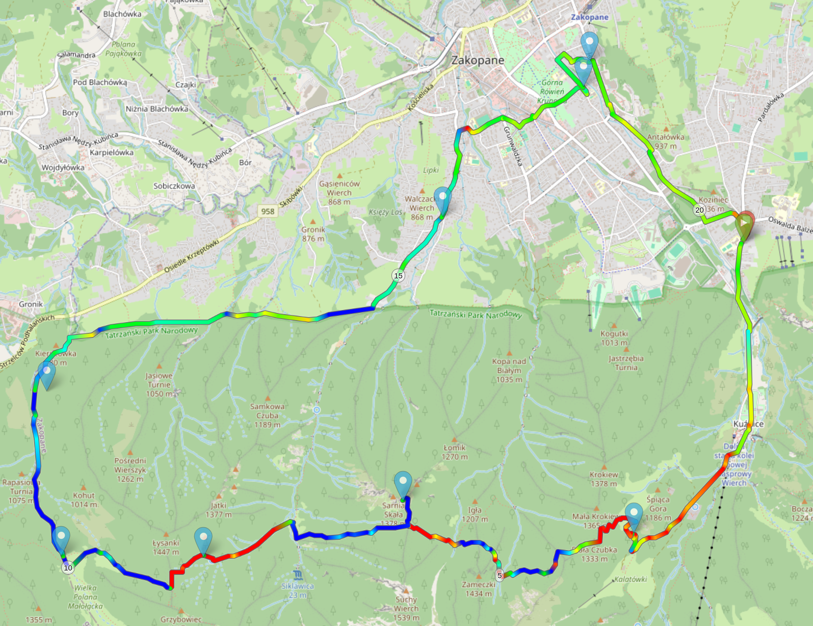
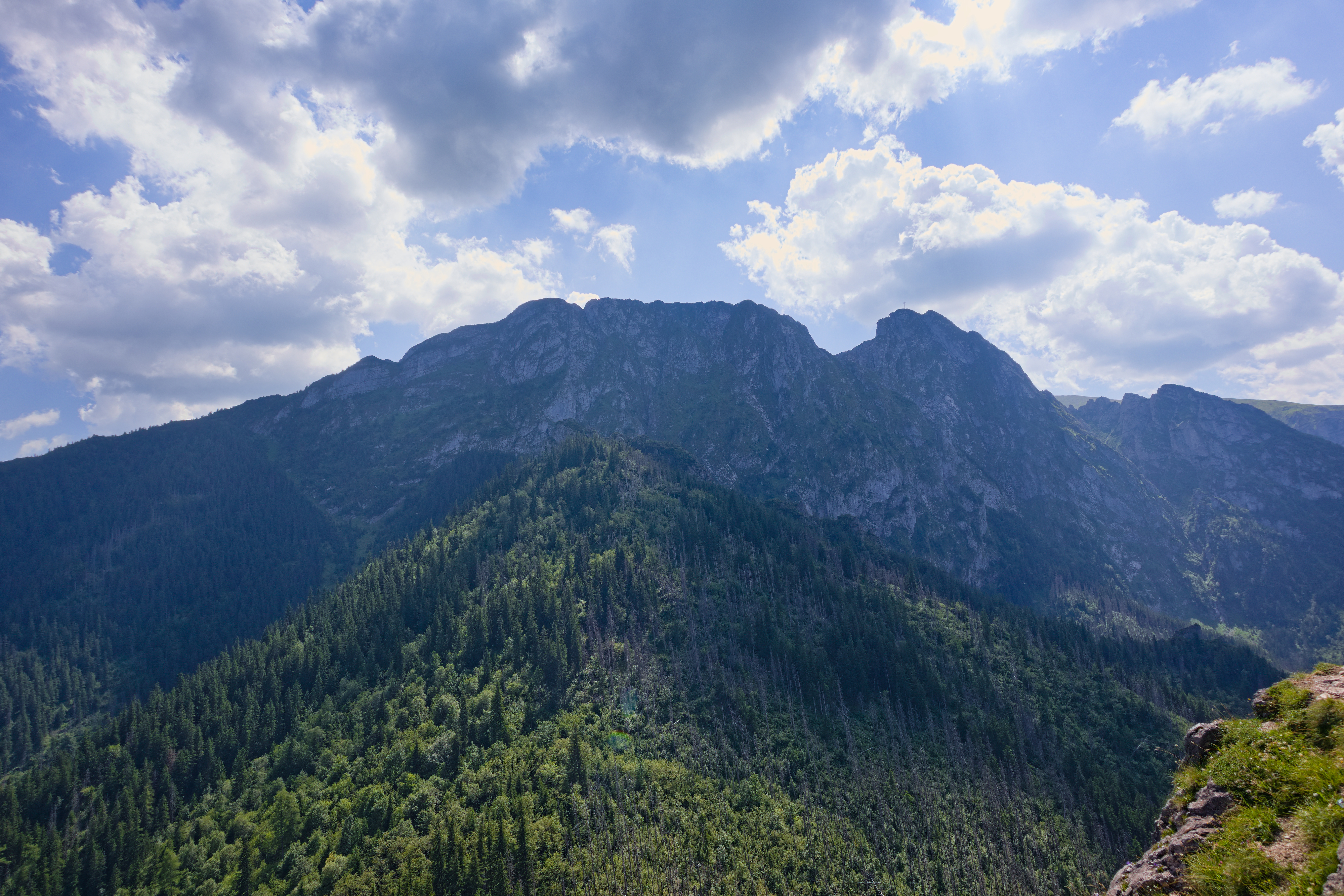
We enterd the national park around 10:00 via Kuźnice, as usual, and followed Droga Brata Alberta as on the first day. However, shortly before Kalatówki, we took Ścieżka nad Reglami (Pfad über den Riegeln) and headed due west up Biała Czubka (DE). It offered us a nice view of the cable car up Kasprowy Wierch and Długi Giewont, whose southern side we had passed two days before.
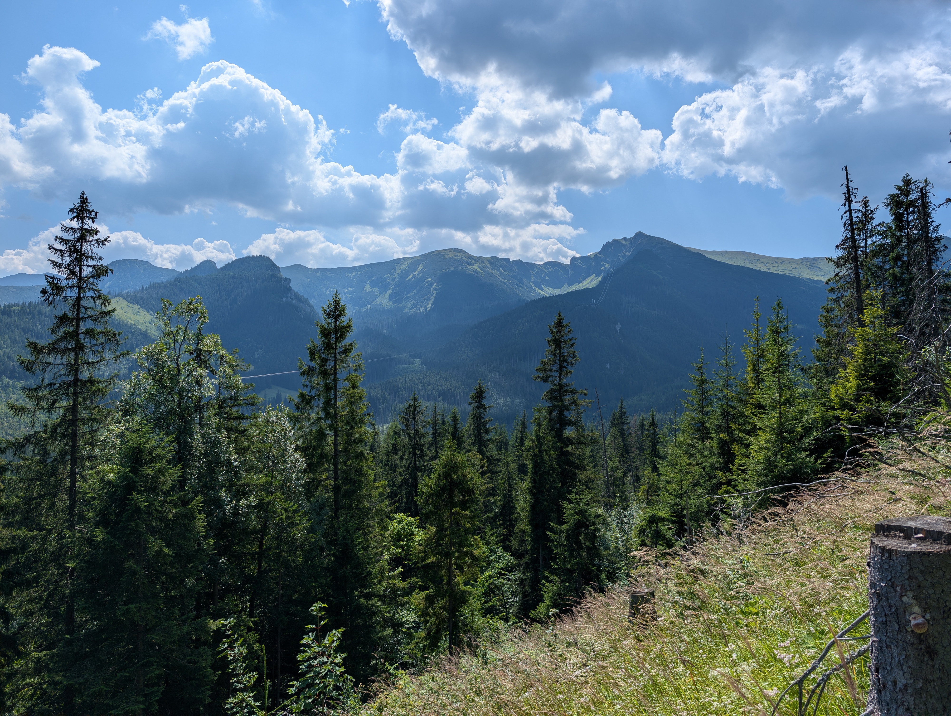
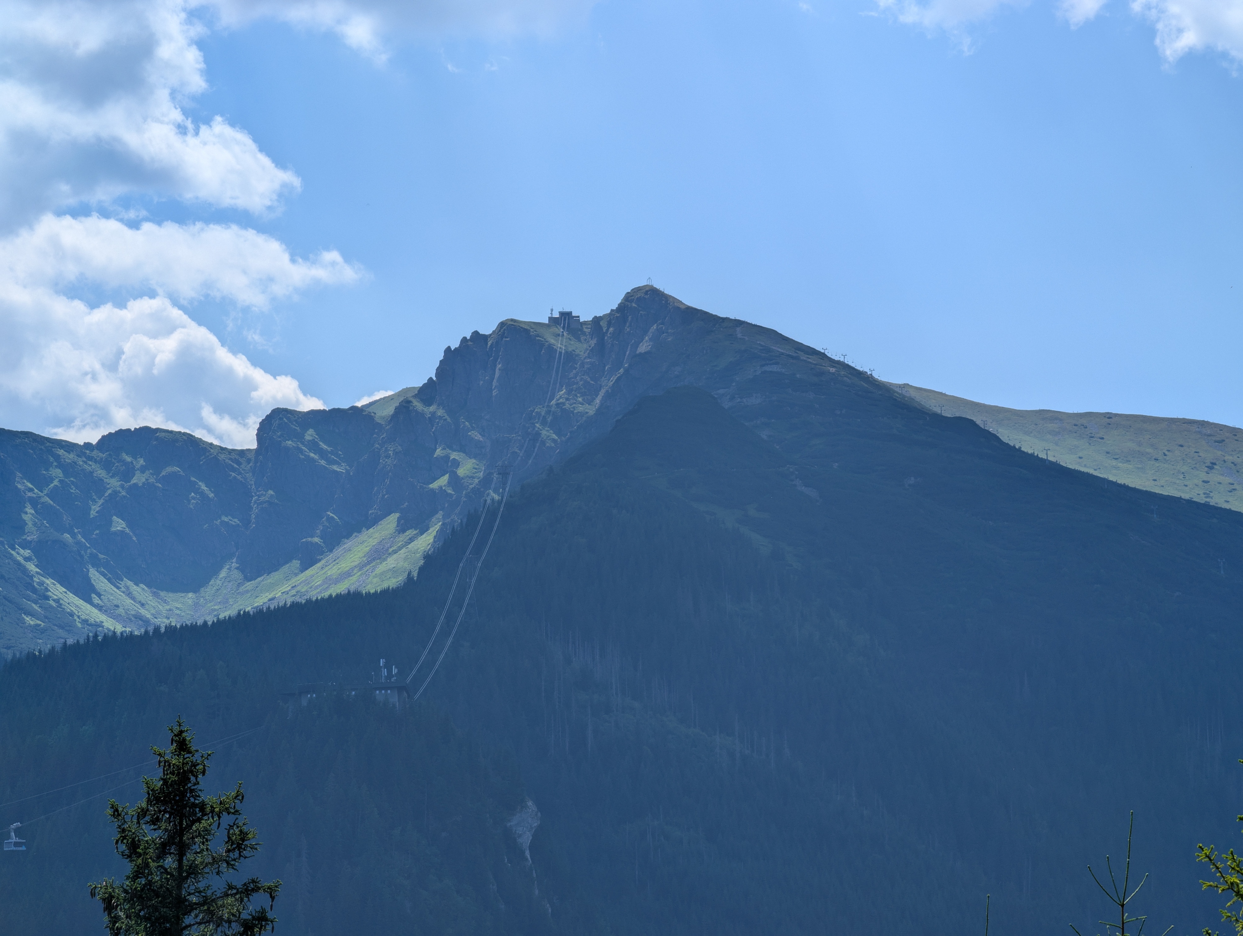
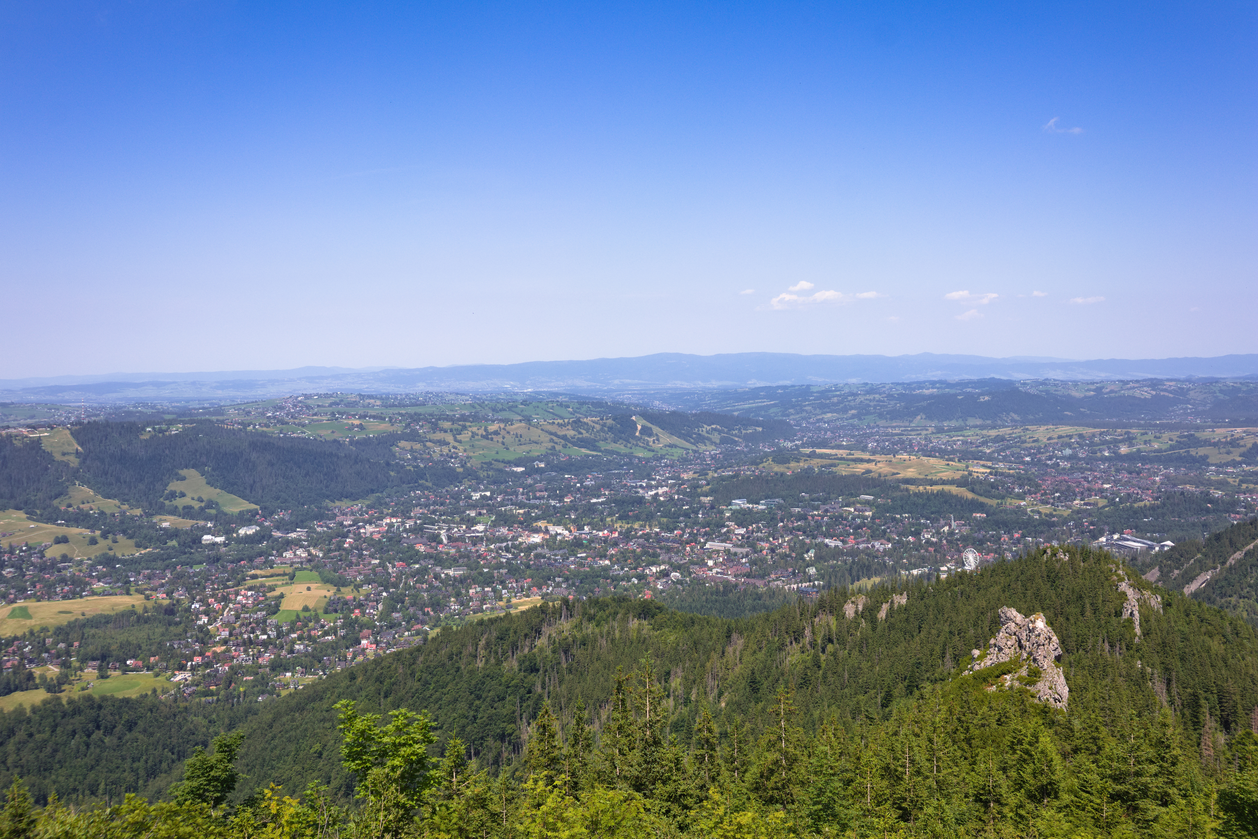
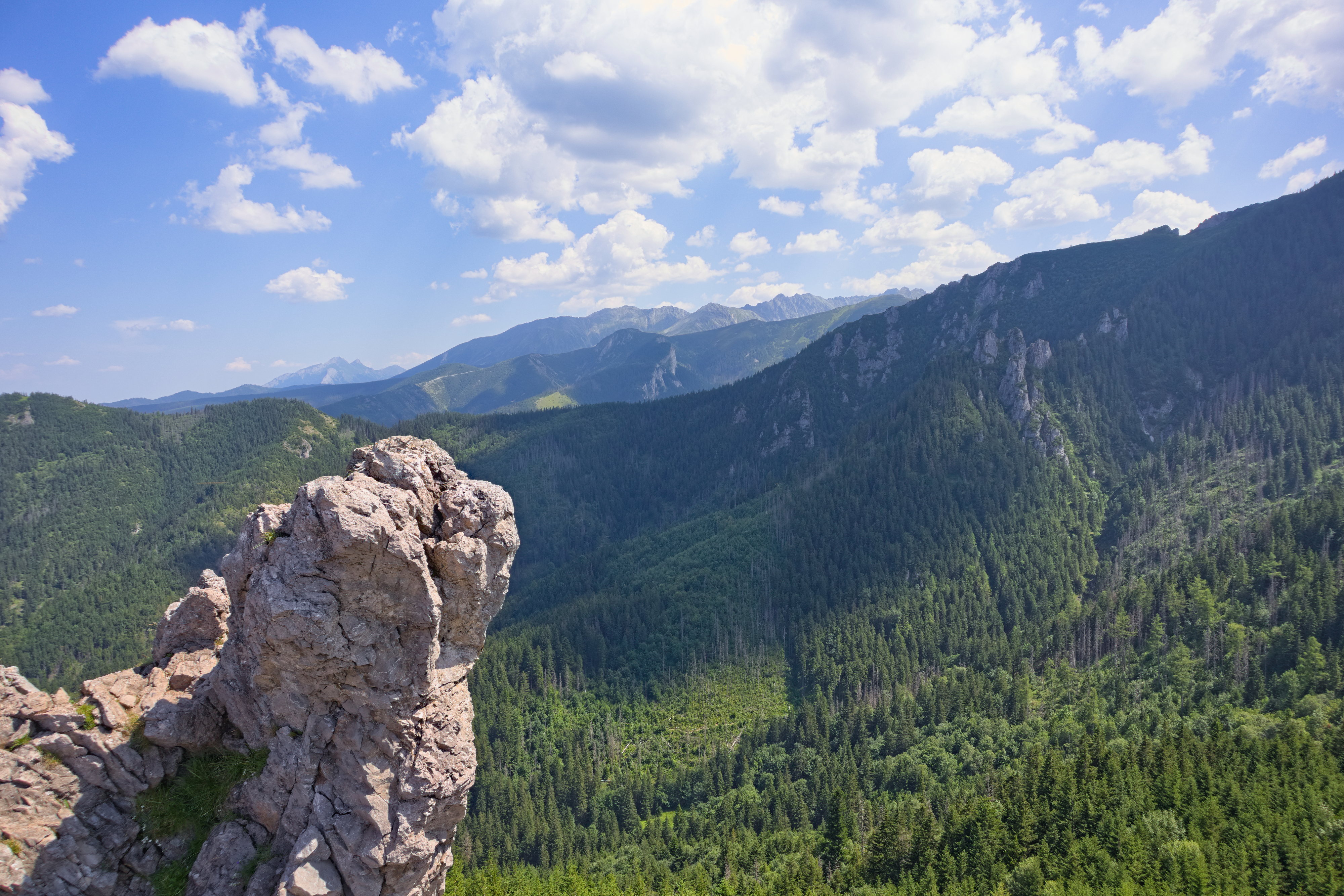
We descended into Dolina Sucha Giewoncka only to climb back up the next ridge, where we found a short path up Sarnia Skała (DE). It was pretty packed, but looked promising, so we made a detour there and, after waiting in line for a while to let other hikers leave the rocky outcrop that is Sarnia Skała, made it there. It's definitely worth a visit – Sarnia Skała was full, but not overly so, and we had good views not just towards Zakopane and Długi Giewont, but also a considerable part of the Western Tatras that we had traversed on the days before.
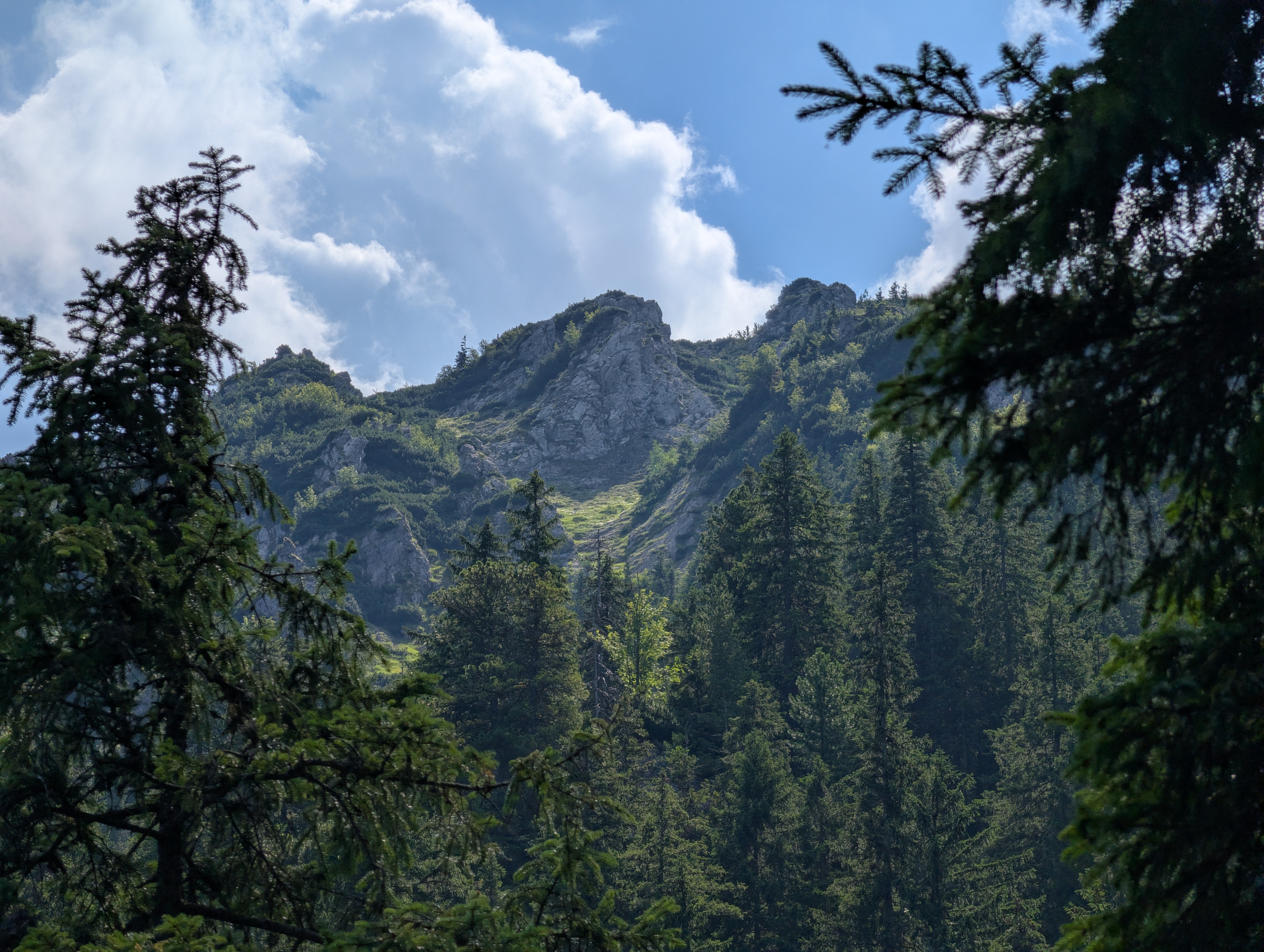
We returned to Ścieżka nad Reglami and kept following it down into Dolina Strążyska, which held a hut selling ice cream, hot and cold drinks, and other refreshments. We used this opportunity for a break before we embarked on the third and final 300-and-something m climb of the day, this time up Przełęcz w Grzybowcu. The trail and the surrounding mouuntainside were, once again, pretty steep.
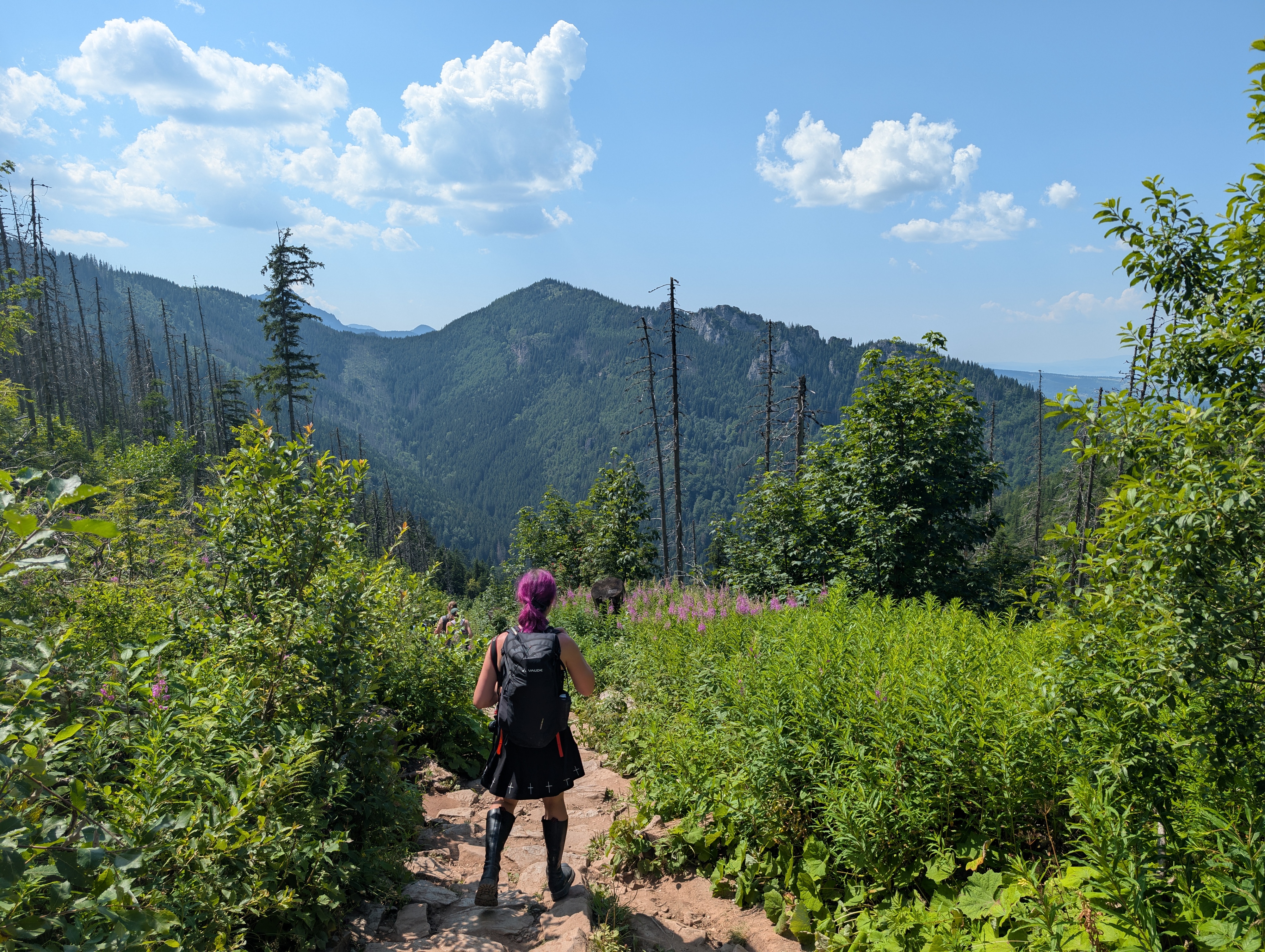
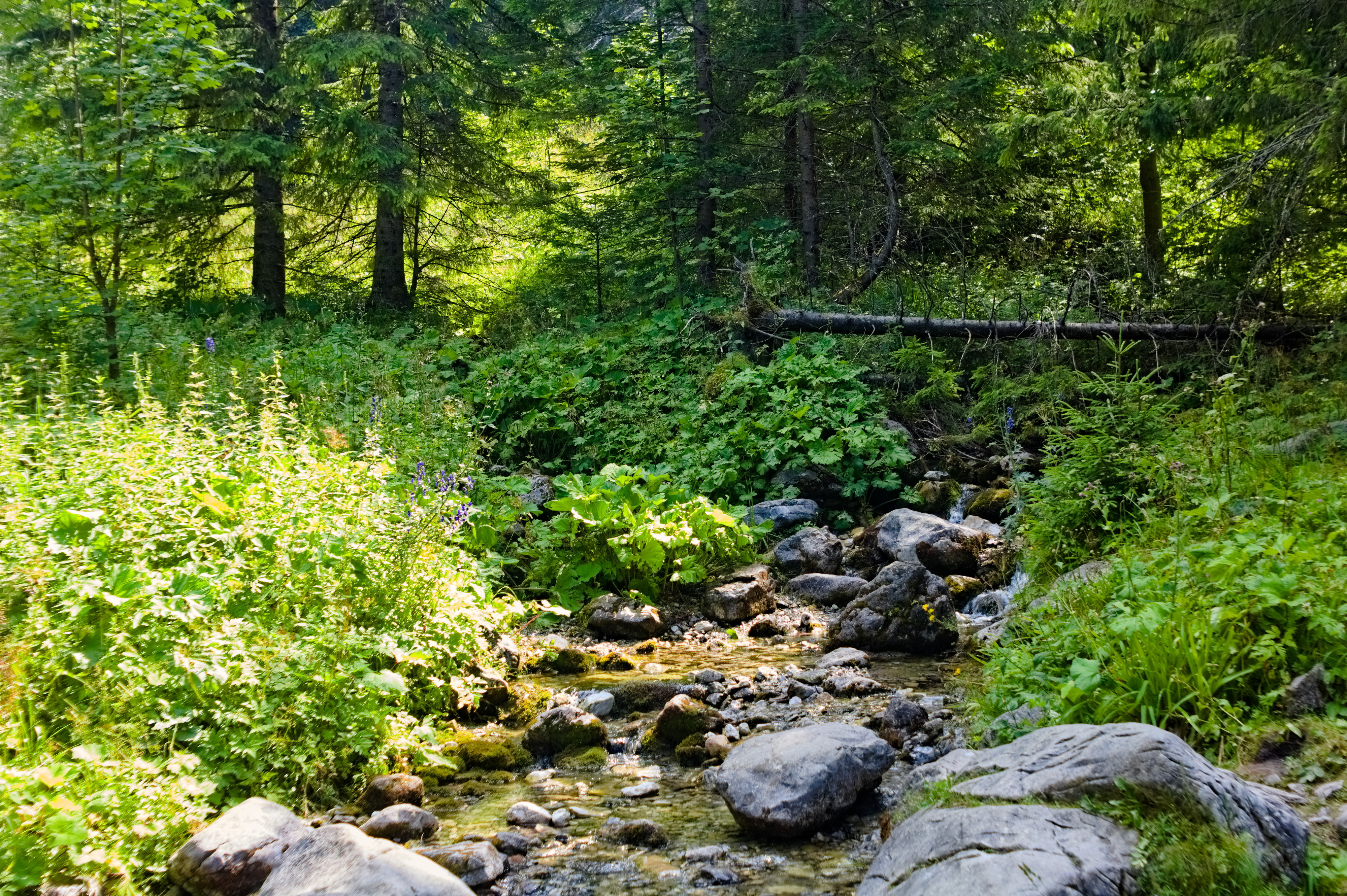
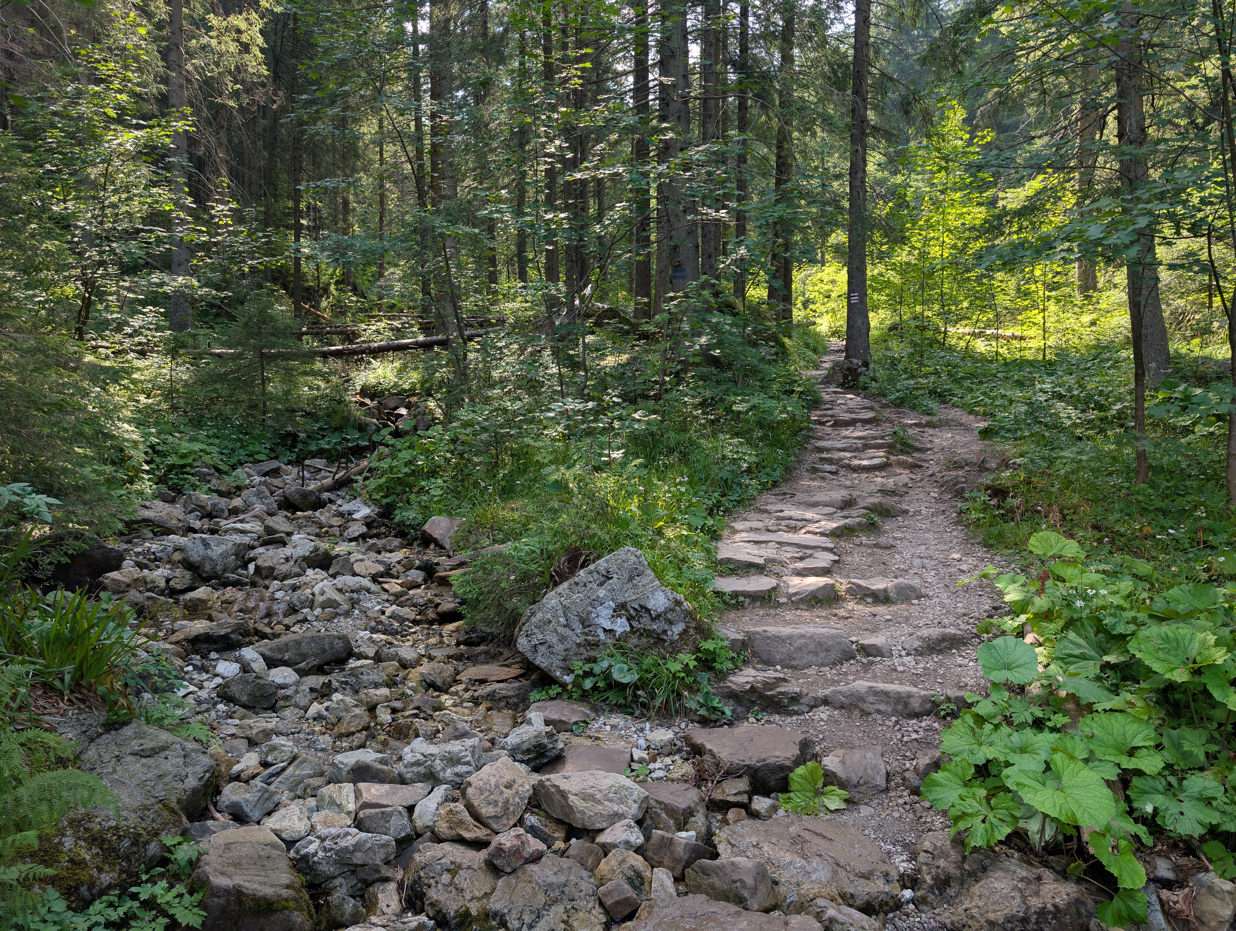
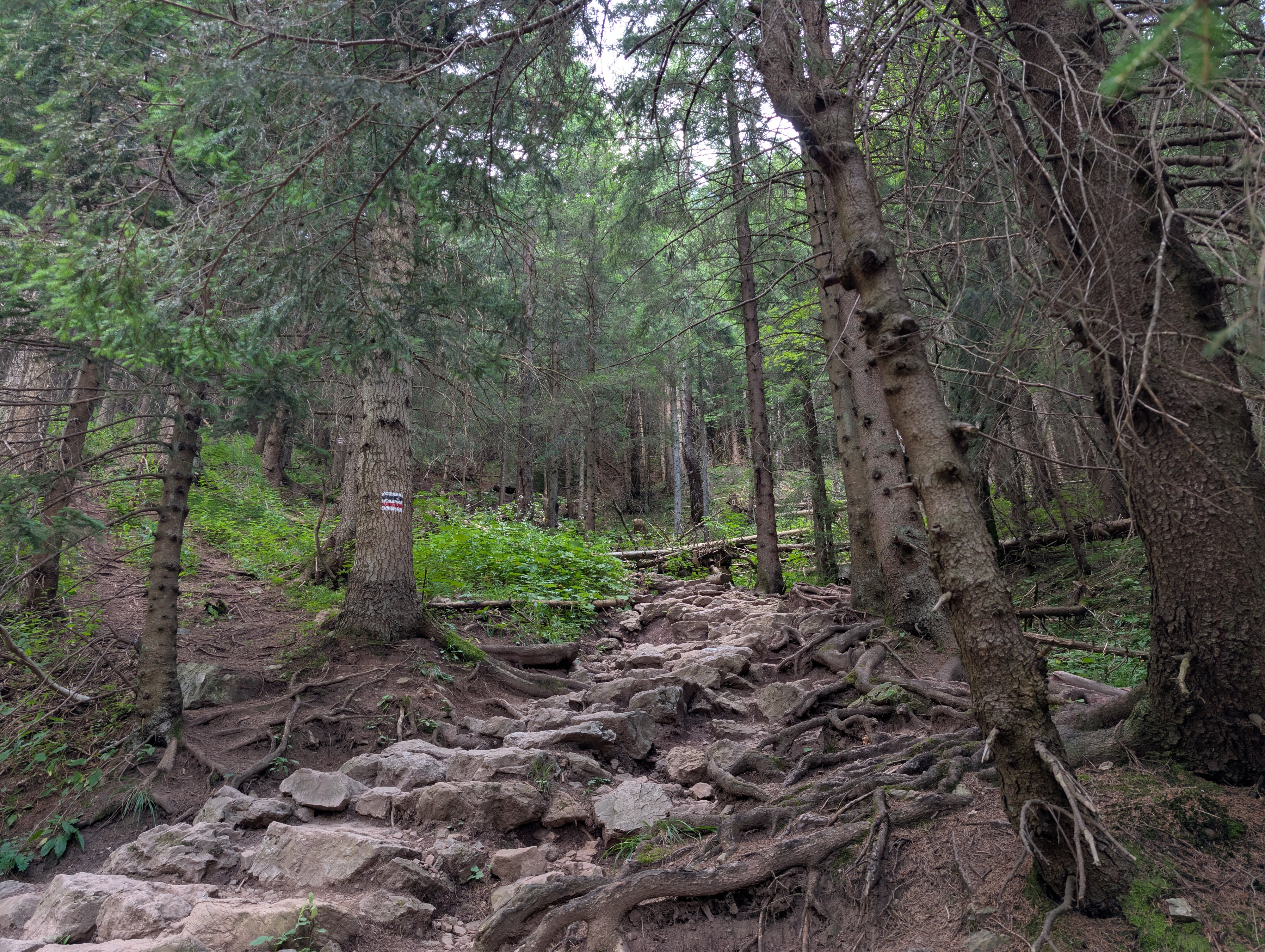
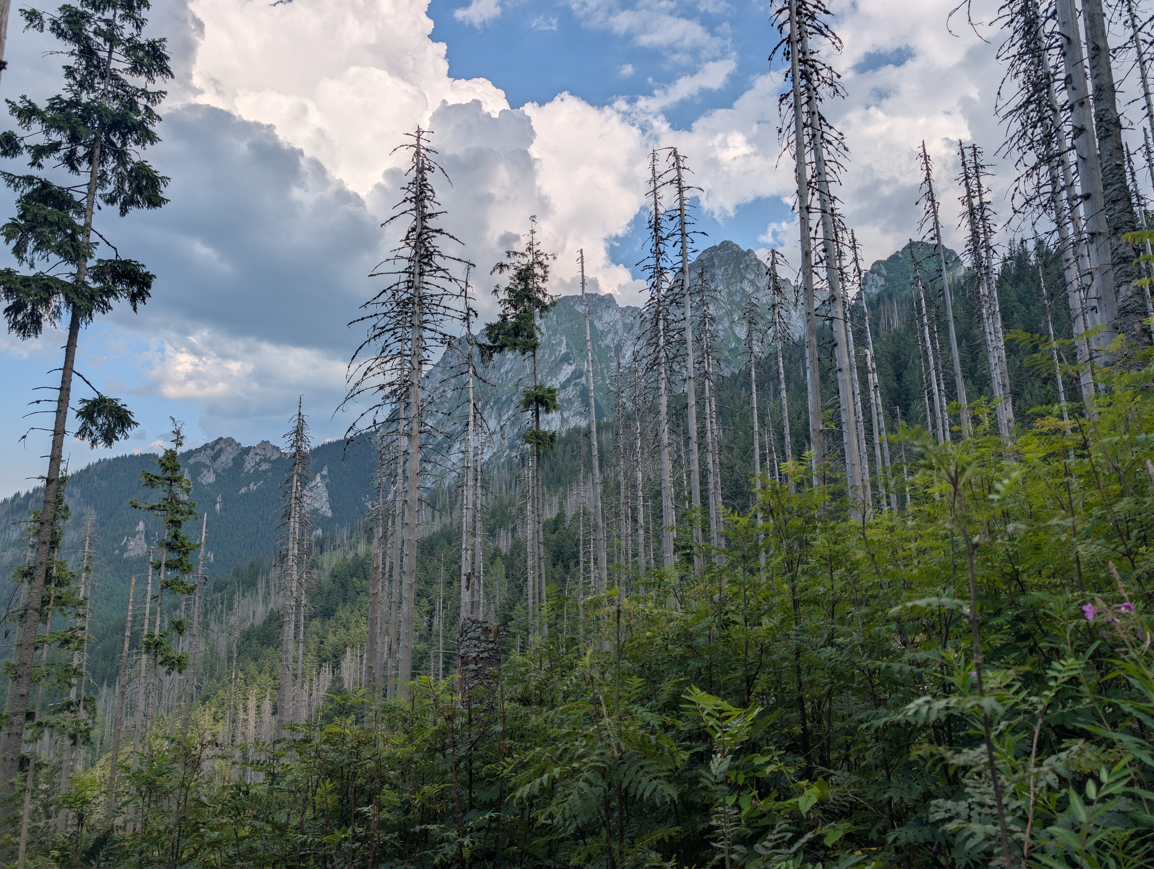
Once atop the saddle, we could have headed south towards Kondracka Przełęcz – it would have been just 300 more metres of evelation with mostly low incline. However, on the one hand, we had already been there, and on the other hand, the clouds that had been forming throughout the day started dispensing rain just as we reached the saddle. We also heard thunder in the distance, so we thought it best to head down into the next valley and then leave the Tatras.
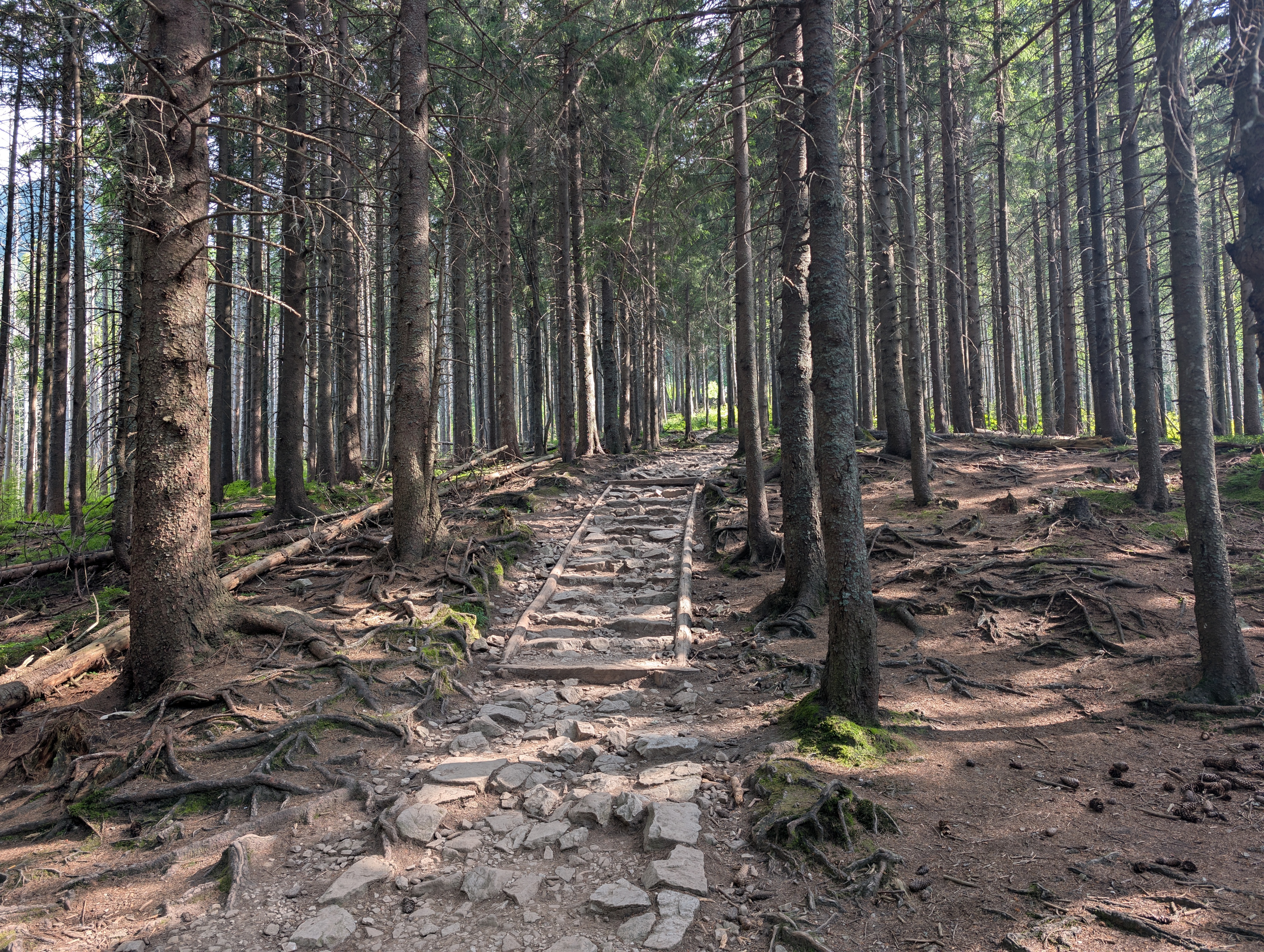
As anticipated, the rocks had grown slippery, but not overly so. Combined with a low angle of descent and the fact that we were right at the edge of the rainclouds, the path remained about as safe as it had been. We did not have to get out our umbrellas, and soon enough, the sun peeked through the clouds again. Had we been a few more km to the southeast, we probably would have had a different experience.
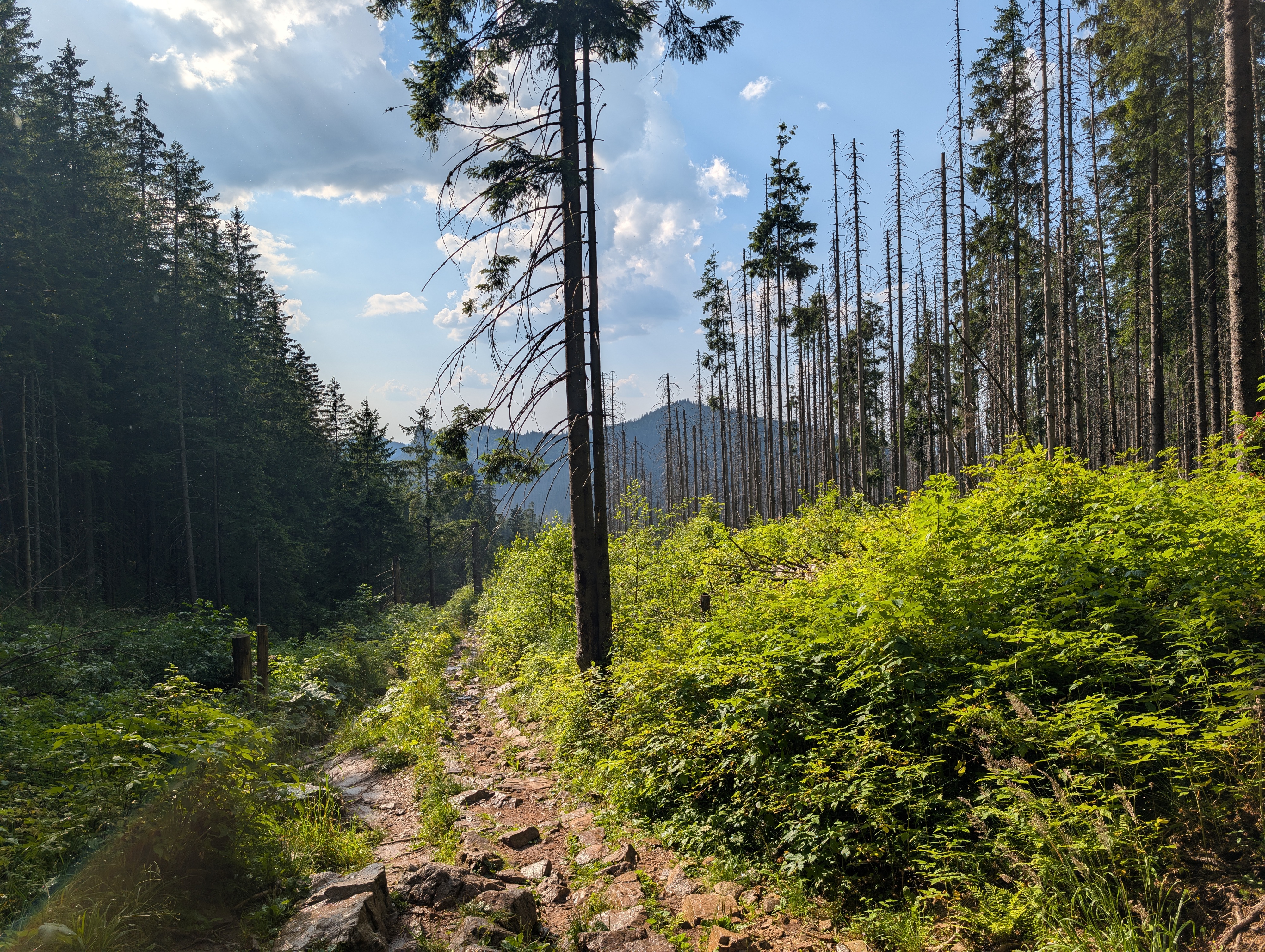
Once in Wielka Polana Małołącka, we left Ścieżka nad Reglami and headed north through Dolina Małej Łąki, thus exiting the national park. This segment was still nice to walk though, but of course less spectacular than the ridge-and-valley sequence we had going on before.
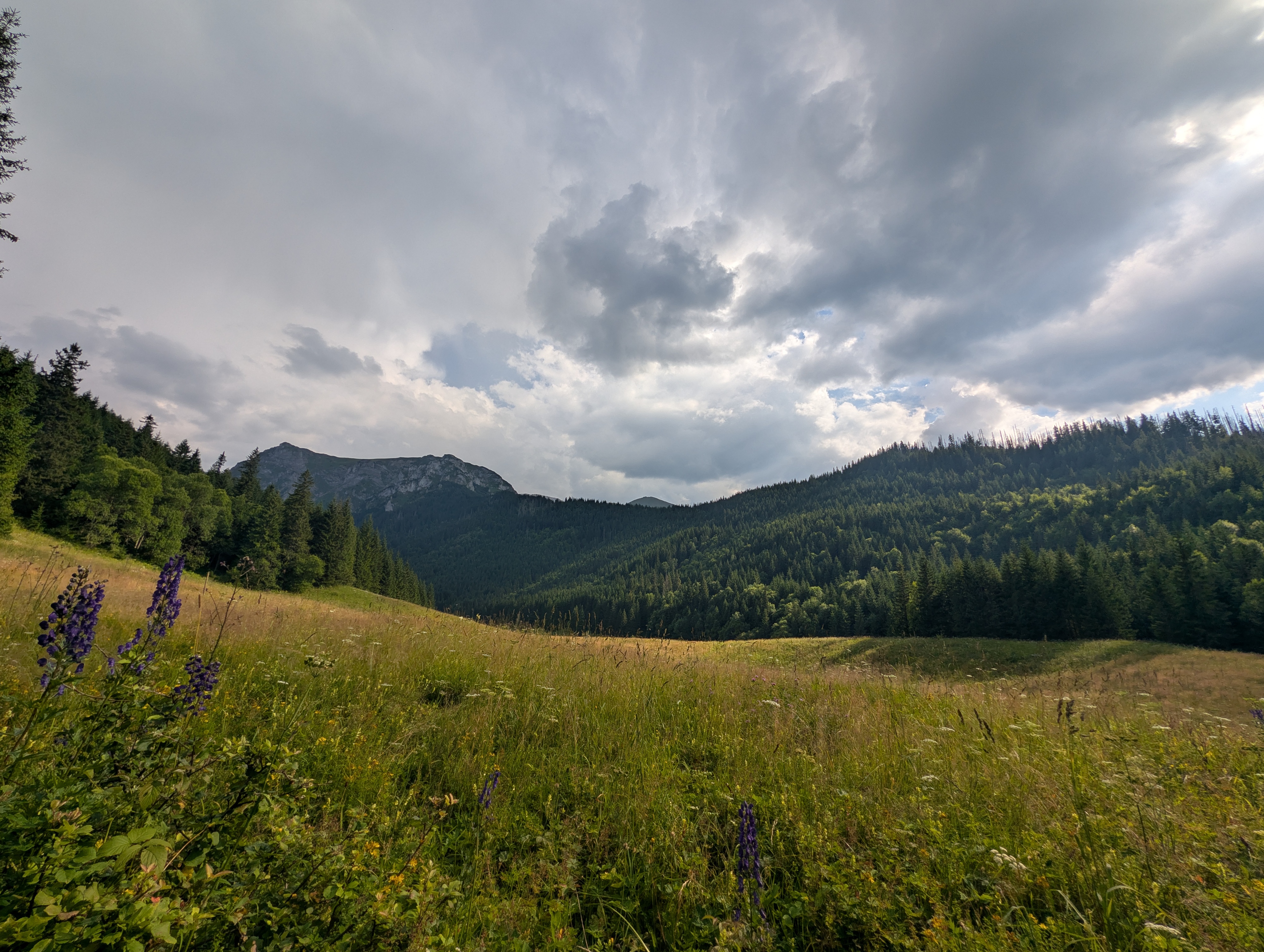
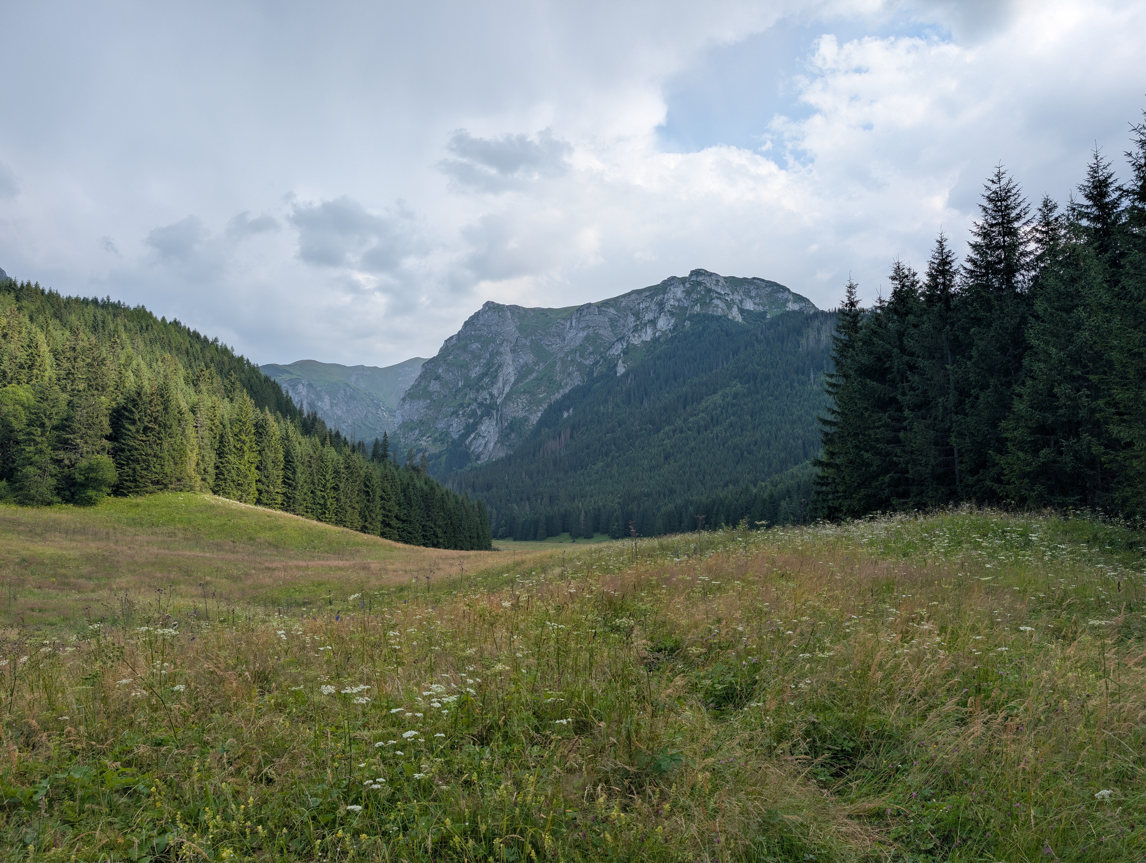
We left the national park around 17:30, walked along its northern edge for about 2 km, and then headed into Zakopane for dinner. More photos can be found at lib.finalrewind.org/Sarnia Skała 2026.