This is a post about our 2026 vacation in the Tatras (Tatry), see Hiking vacation in the Tatra Mountains for an overview.
We had another day with good hiking weather in front of us – not as sunny as before, but still warm and dry. So, we decided to head out a bit further to the east, albeit with a slightly tamer route: a stroll through Hala Gąsienicowa (Gąsienic-Alm) and its mountain lakes, where the highest point would be Mały Kościelec (Kleiner Kirchberg) at just 1,866m of elevation. This would bring us right to the edge of the High Tatras (Hohe Tatra) and their rather harsh mountainside – on the day before, we had only traversed the considerably calmer Western Tatras (Westtatra).
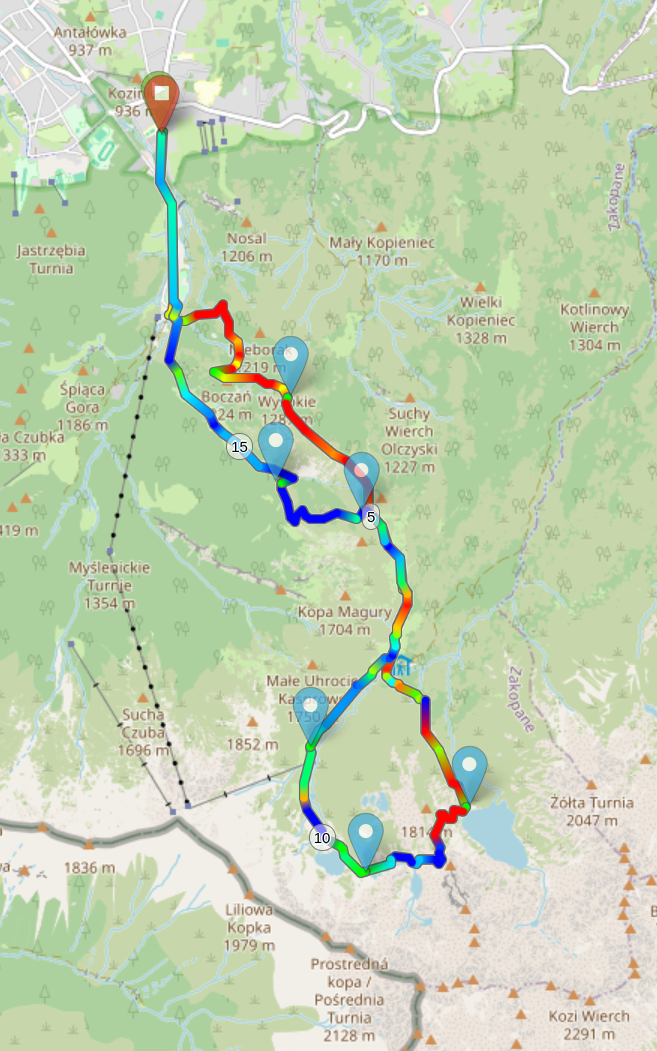
Again, we started at around 10:00, entering the Tatra national park in Kuźnice as on the day before. This time, we headed east, traversing the Boczań and Skupniów Upłaz ridges (which we had already seen from afar when making our descent on the day before) as well as the Królowy Grzbiet ridge until we reached Hala Gąsienicowa (Gąsienic-Alm), which is located in the upper parts of Dolina Suchej Wody (Trockenbachtal / Valley of Dry Water). We also got rather close to Schronisko PTTK „Murowaniec” na Hali Gąsienicowej (Murowaniec-Hütte), which would have offered toilets, food, drink, and shelter. We had no need for any of those and therefore passed it by without a visit.
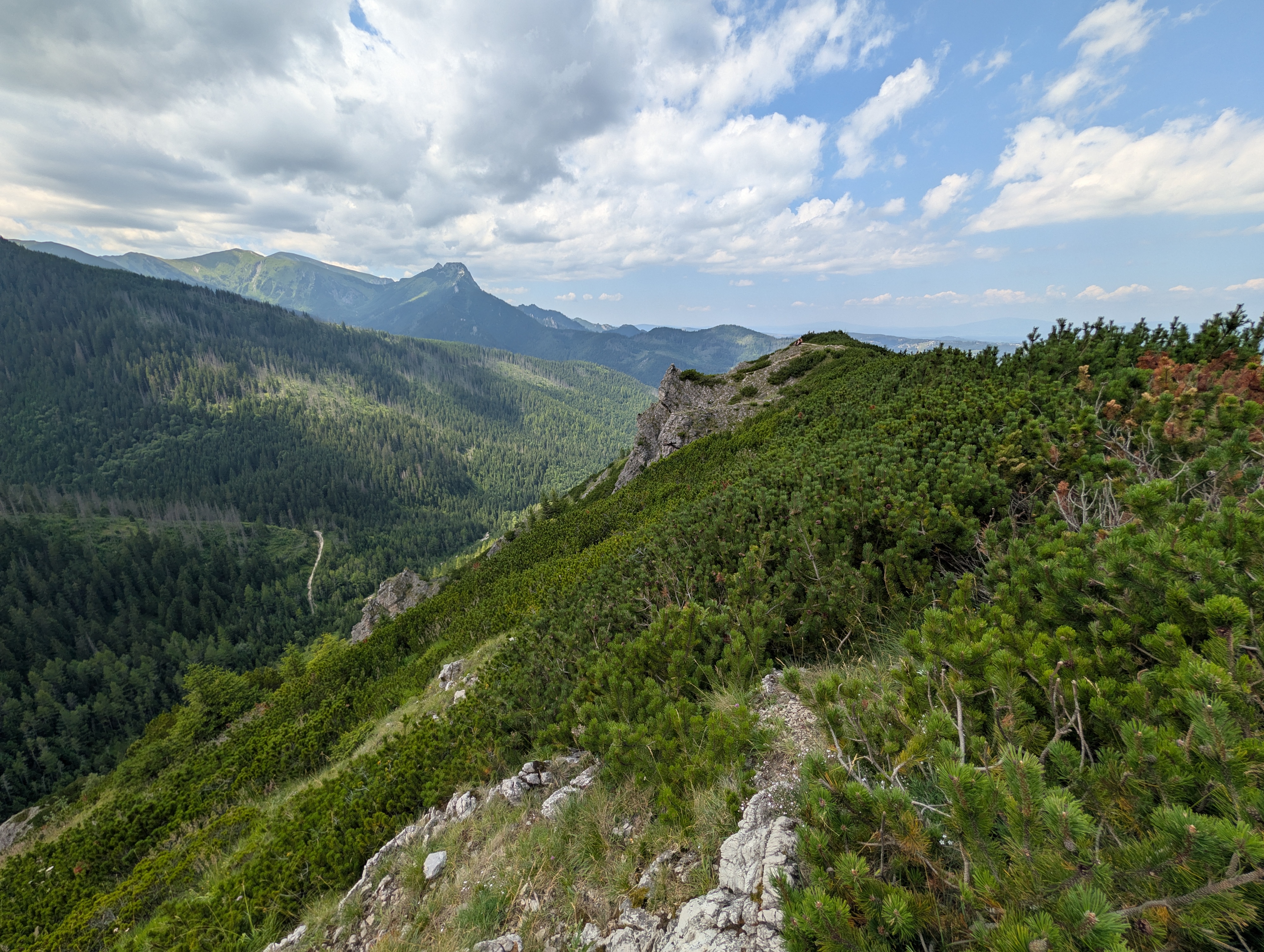
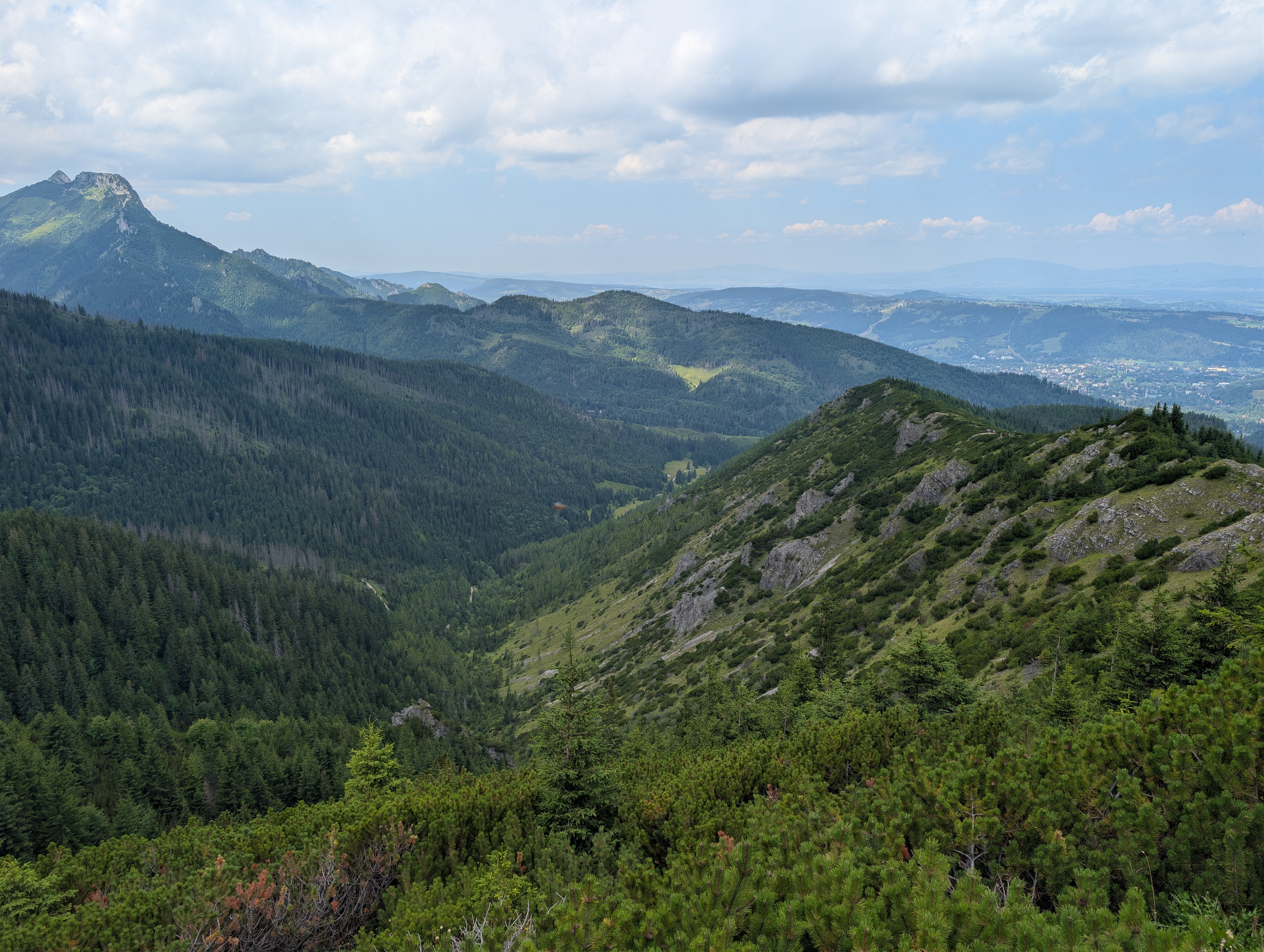
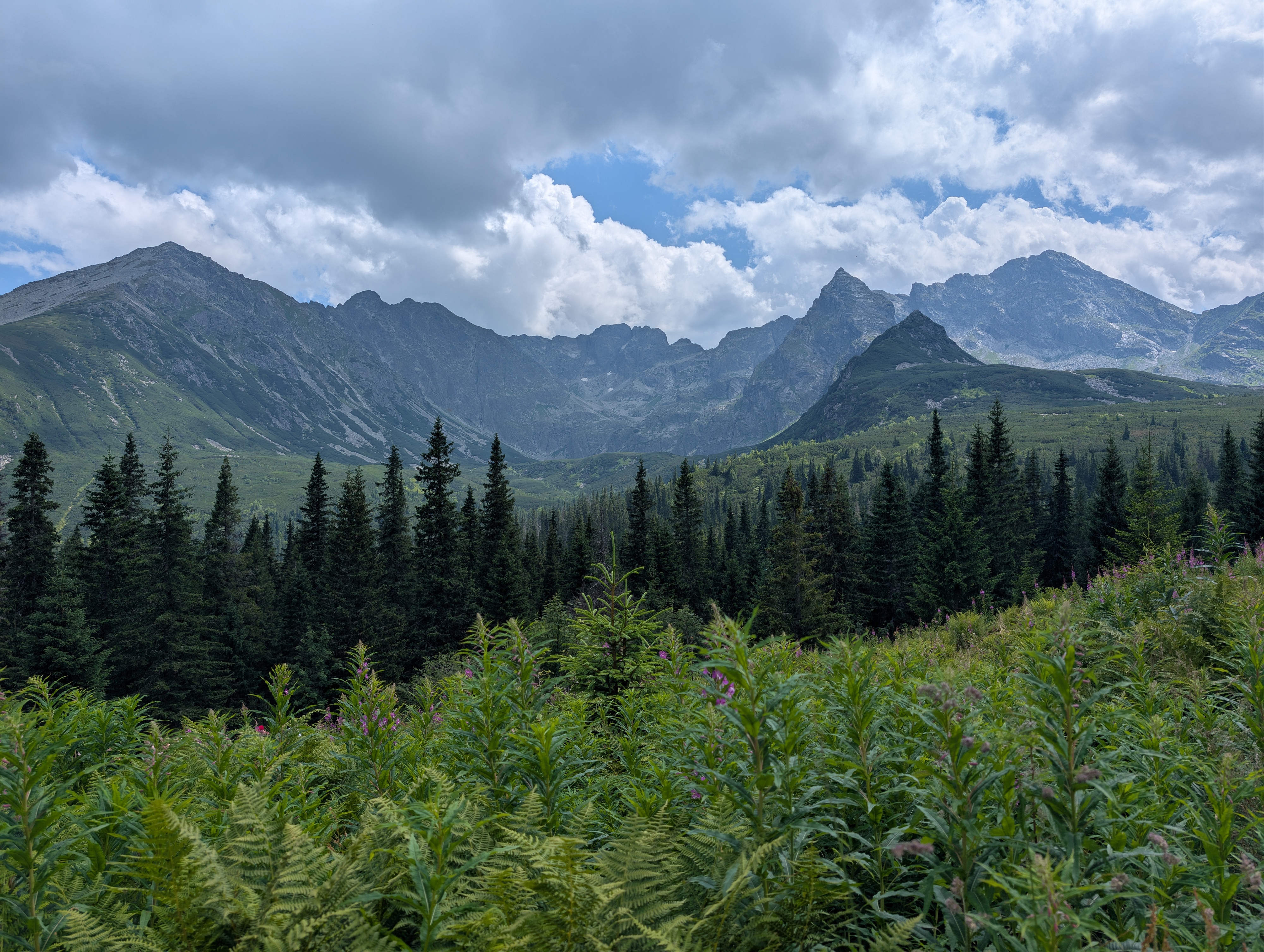
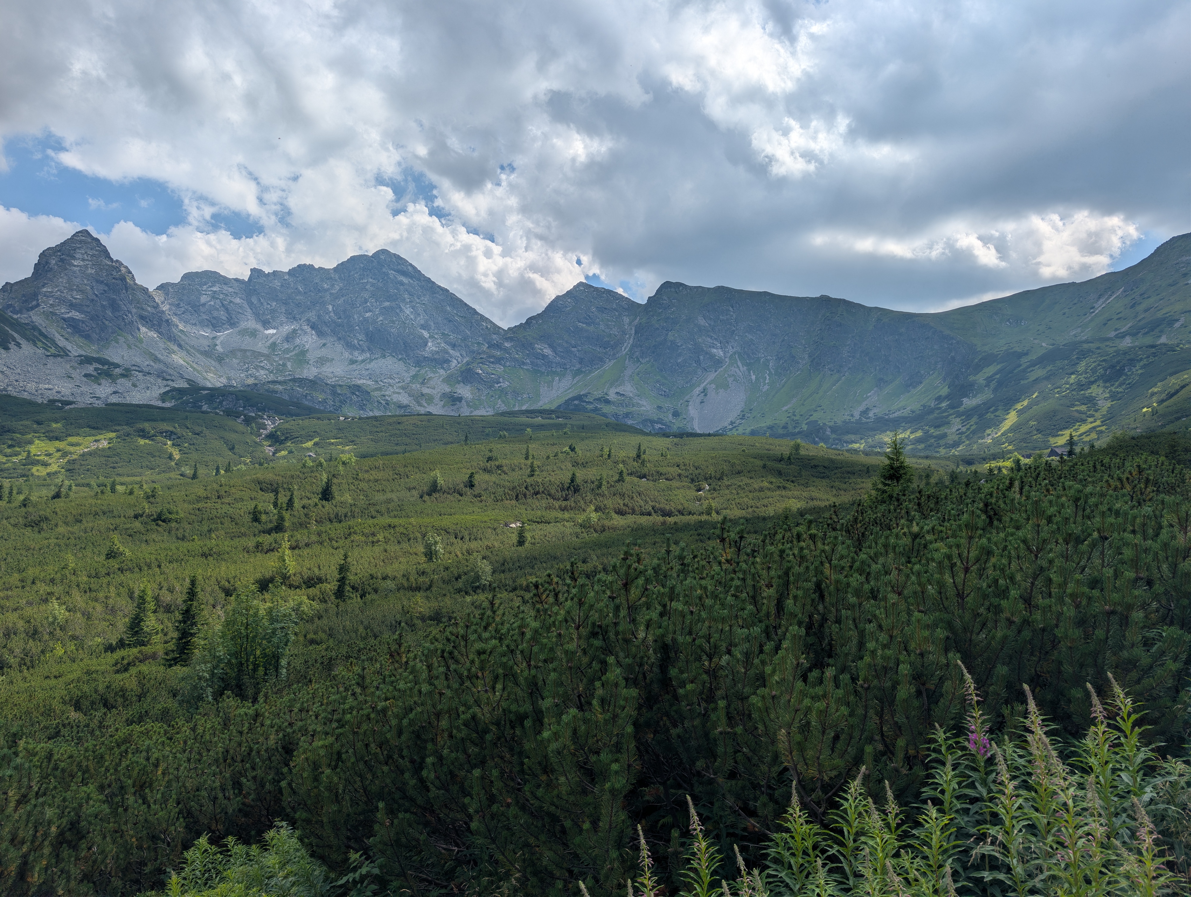
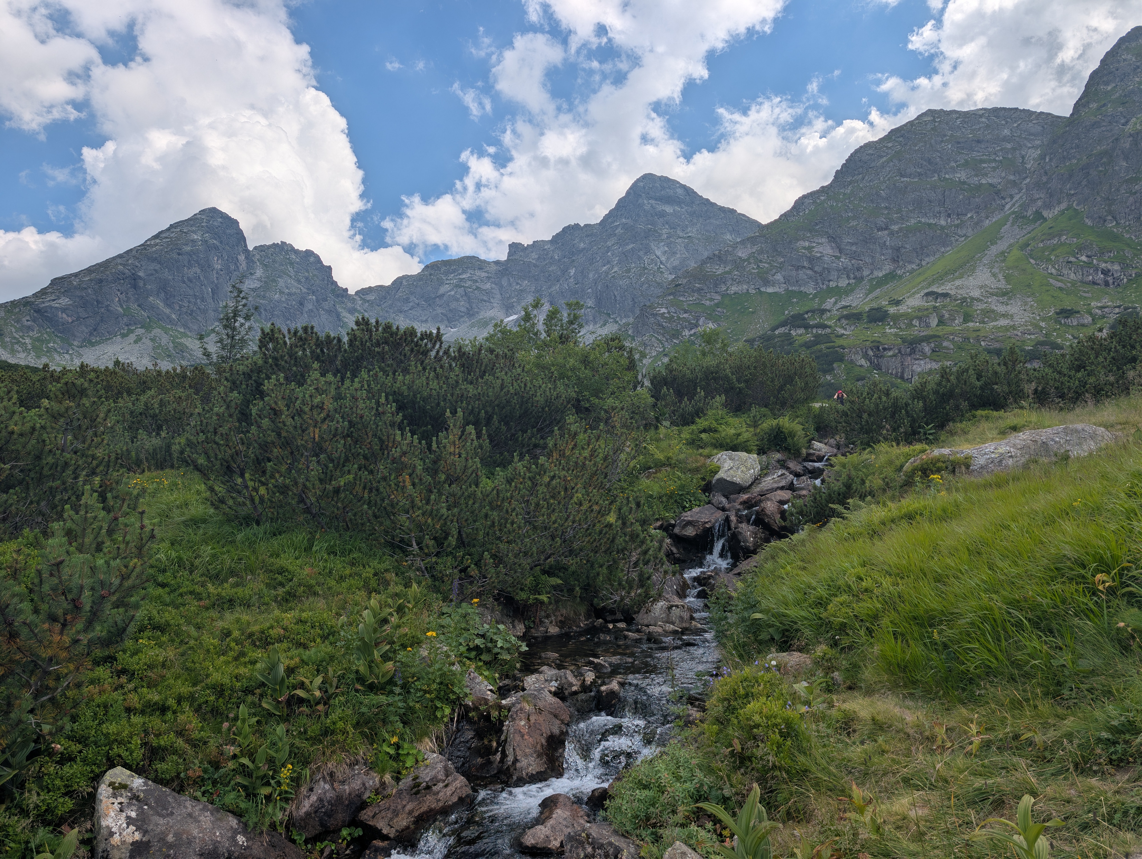
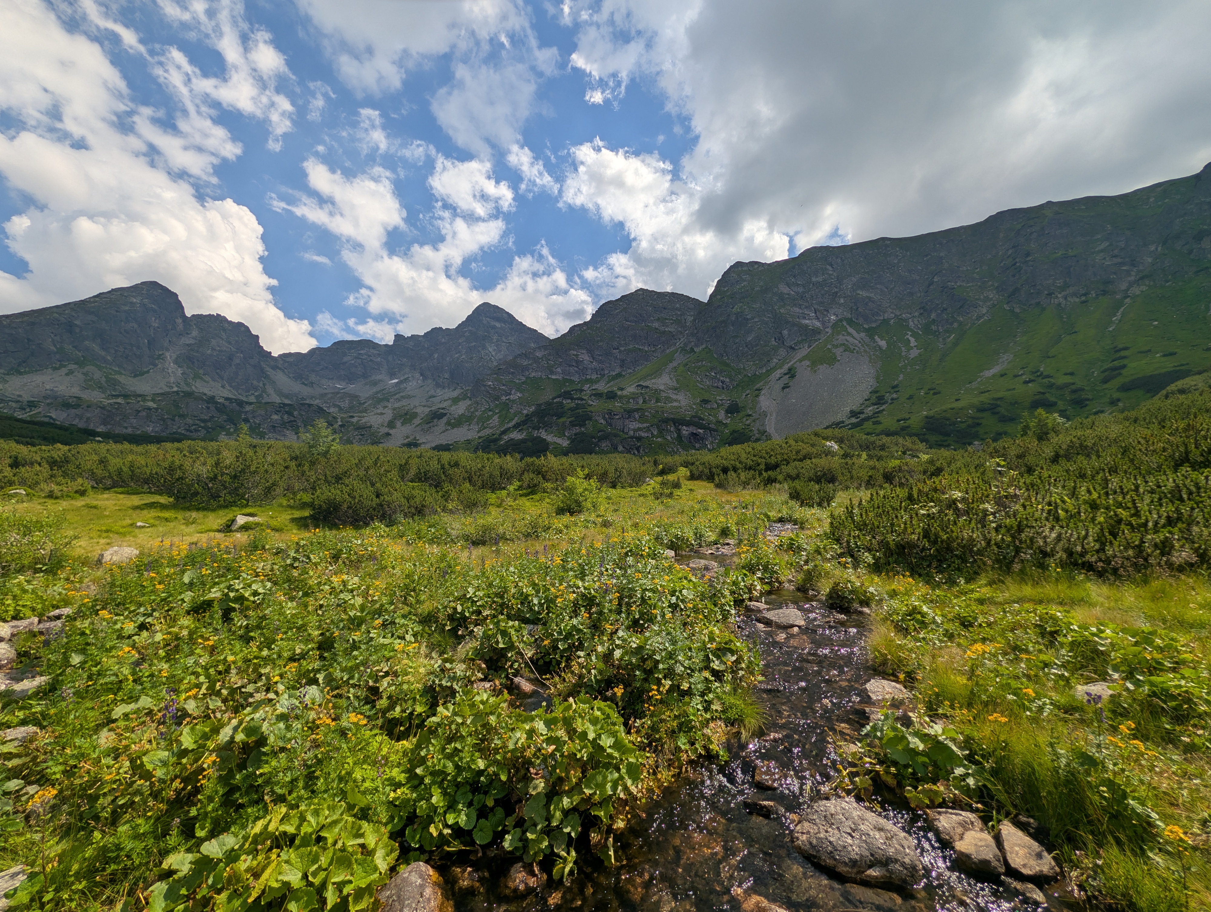
Once we had reached the valley, sloped along a respectable 1,400 to 1,700m of elevation, we started a round trip through Dolina Gąsienicowa (Gąsienica-Tal, possibly also known as Seealmtal) that would eventually lead us back to the trail through which we had entered it, passing several streams and mountain lakes as well as one (relatively small) side ridge of the High Tatras in the process. The vegetation already grew lower and sparser, indicating that, even though we were on a meadow, we were definitely in the mountains and nearing the tree line.
First off, we followed an unnamed stream uphill, passing Mokra Jama (Feuchtes Loch) as well as a crossroads (and, later, a chairlift) that offered a direct path onto the eastmost part of the main ridge of the High Tatras. However, we stayed in the valley, following the stream towards Litworowy Staw Gąsienicowy and then Zielony Staw Gąsienicowy. Here, we took another break, and were also slightly delayed due to a phone call – yes, you do have pretty good mobile and 5G reception in this valley.
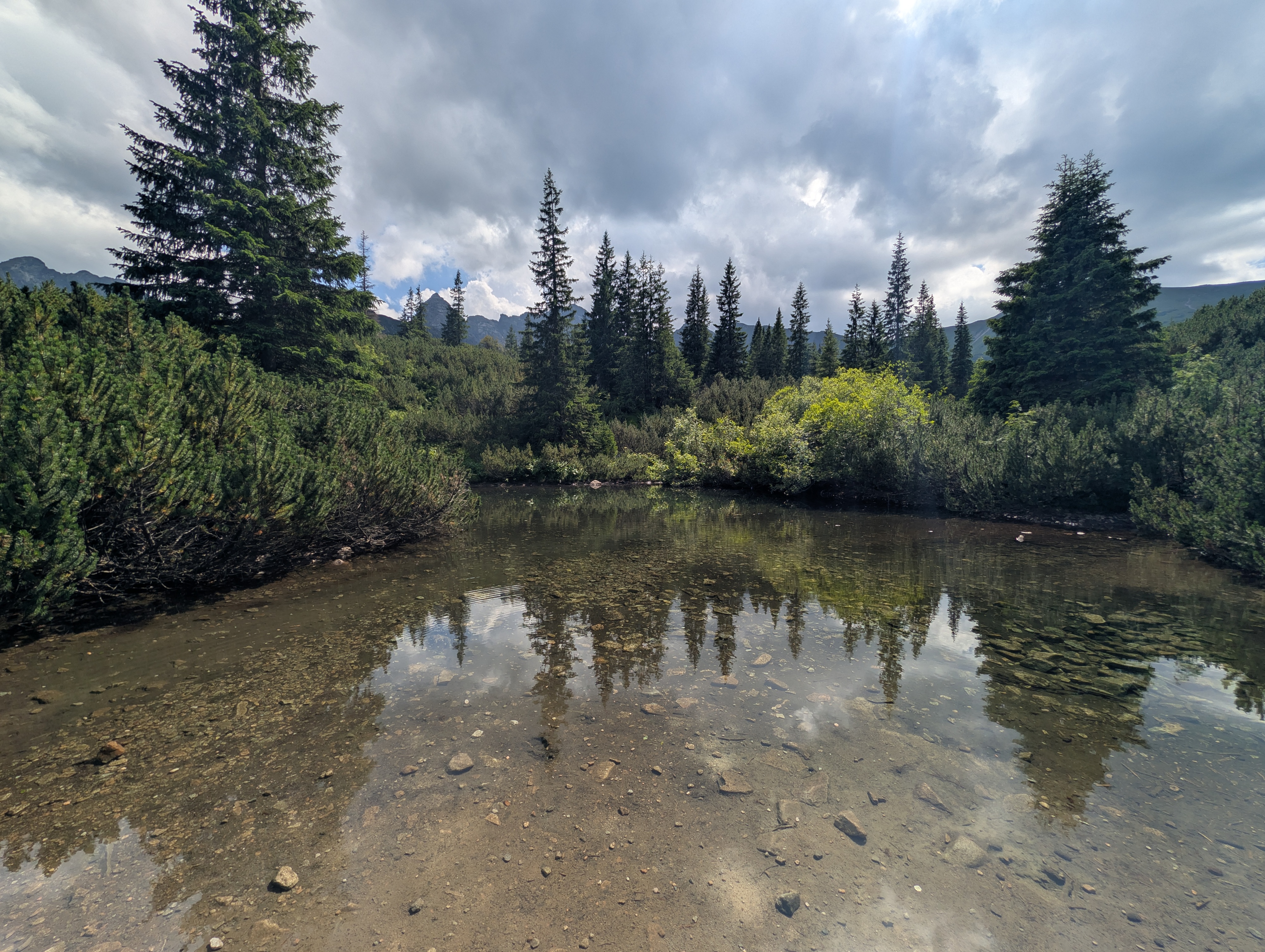
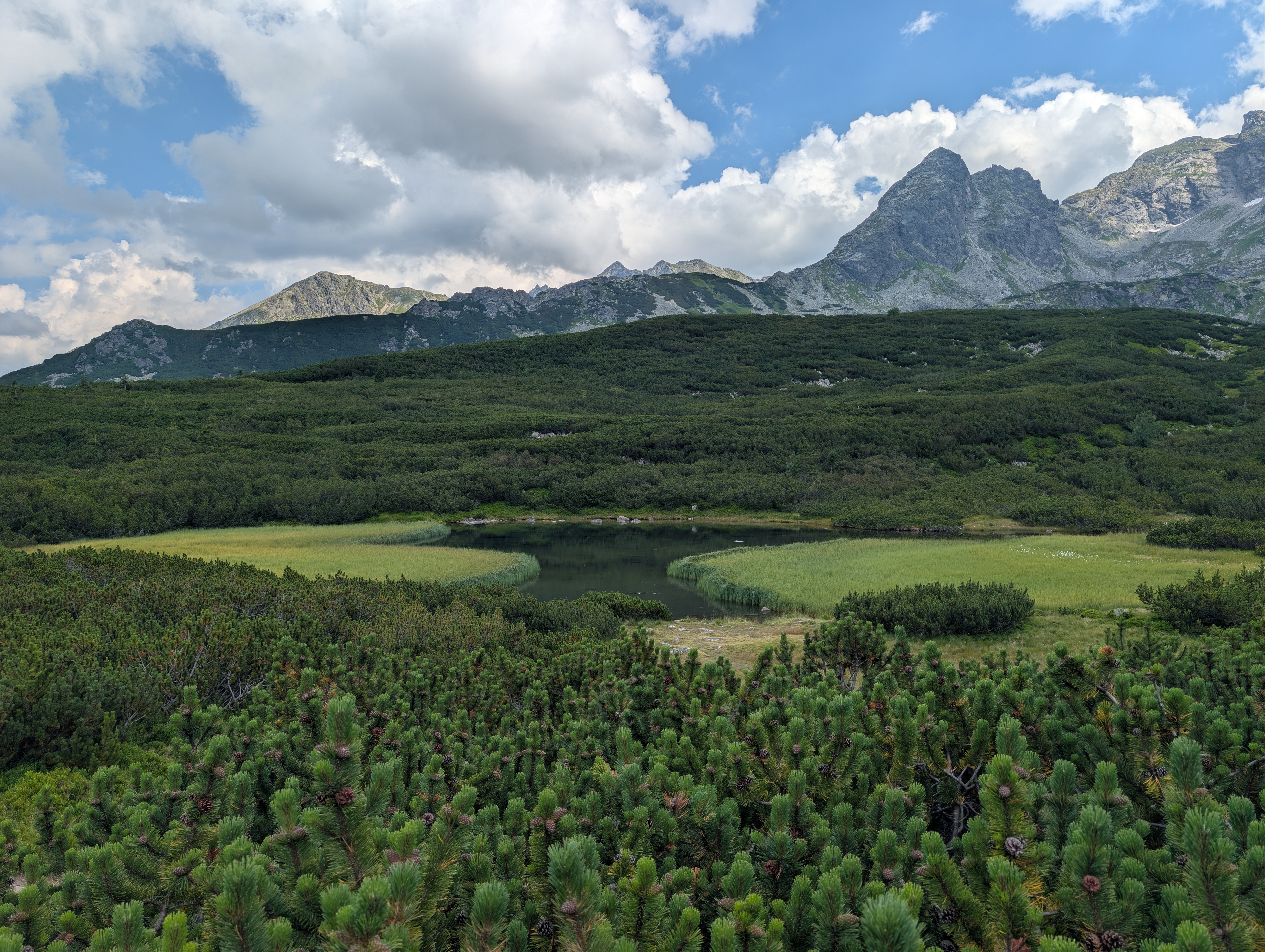
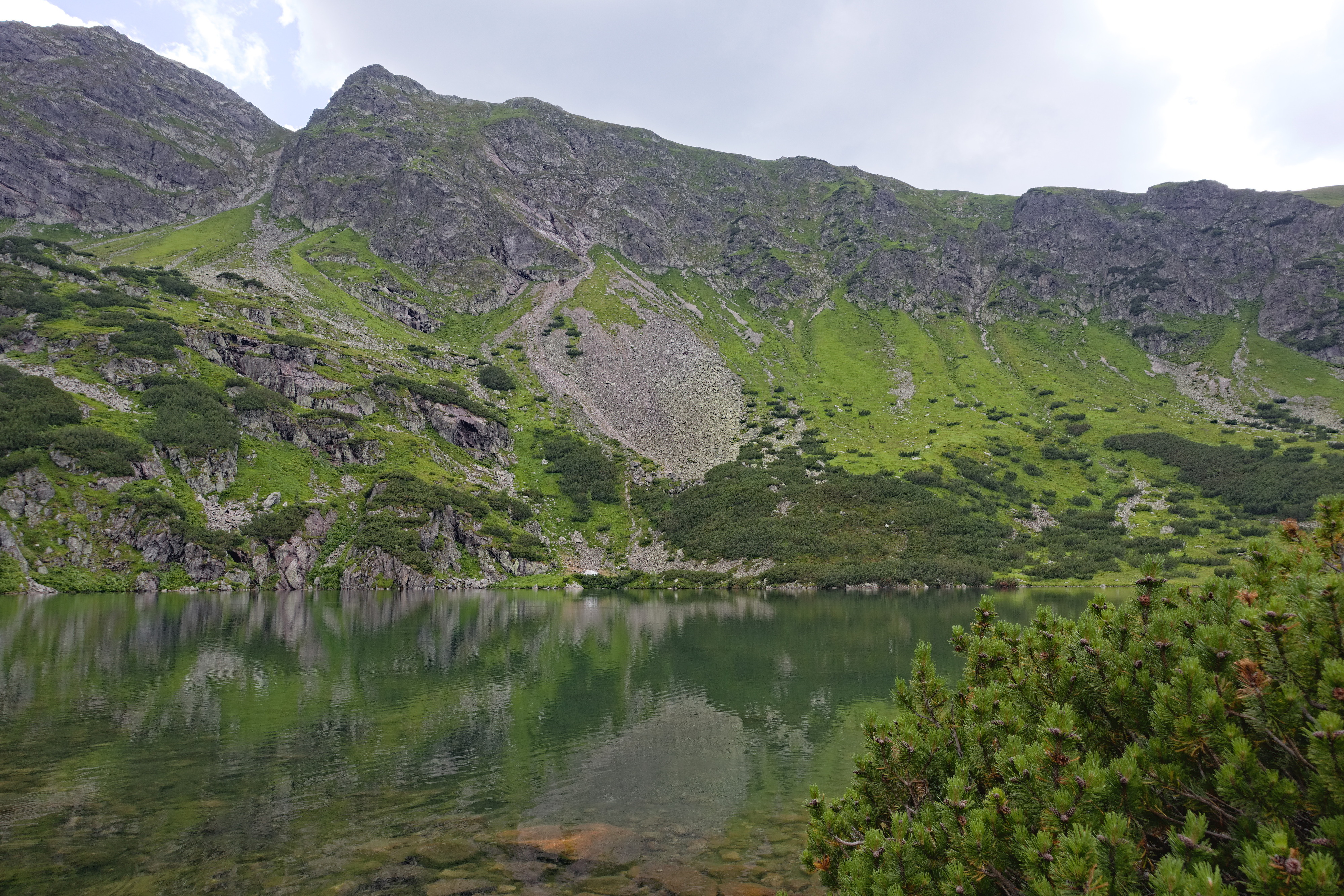
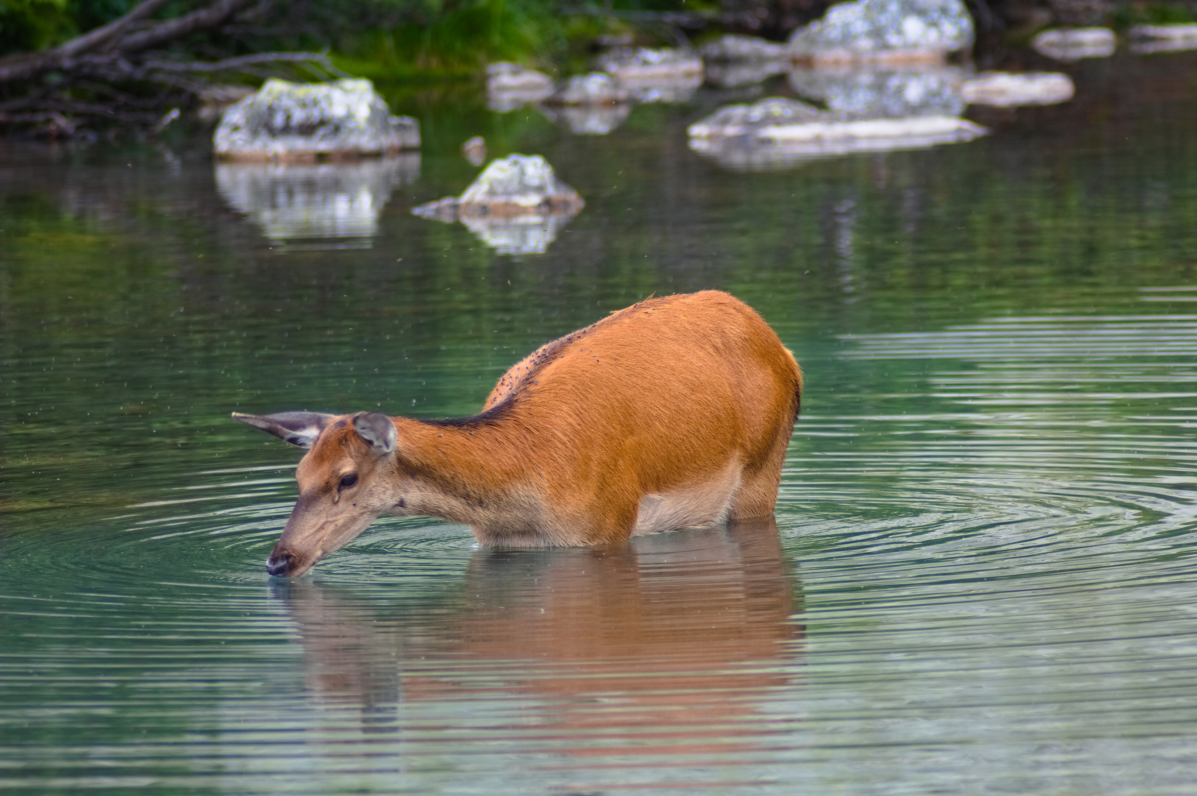
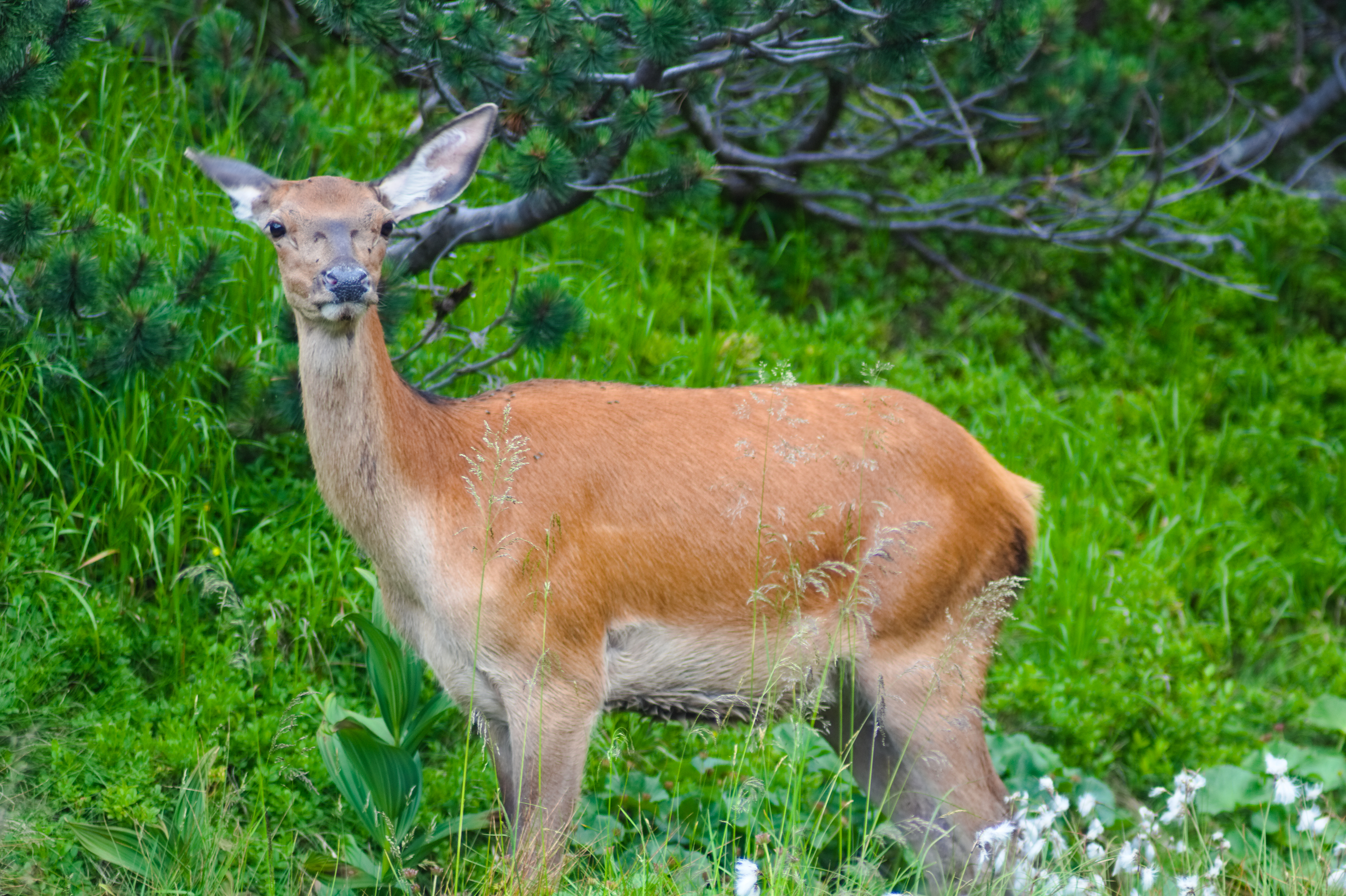
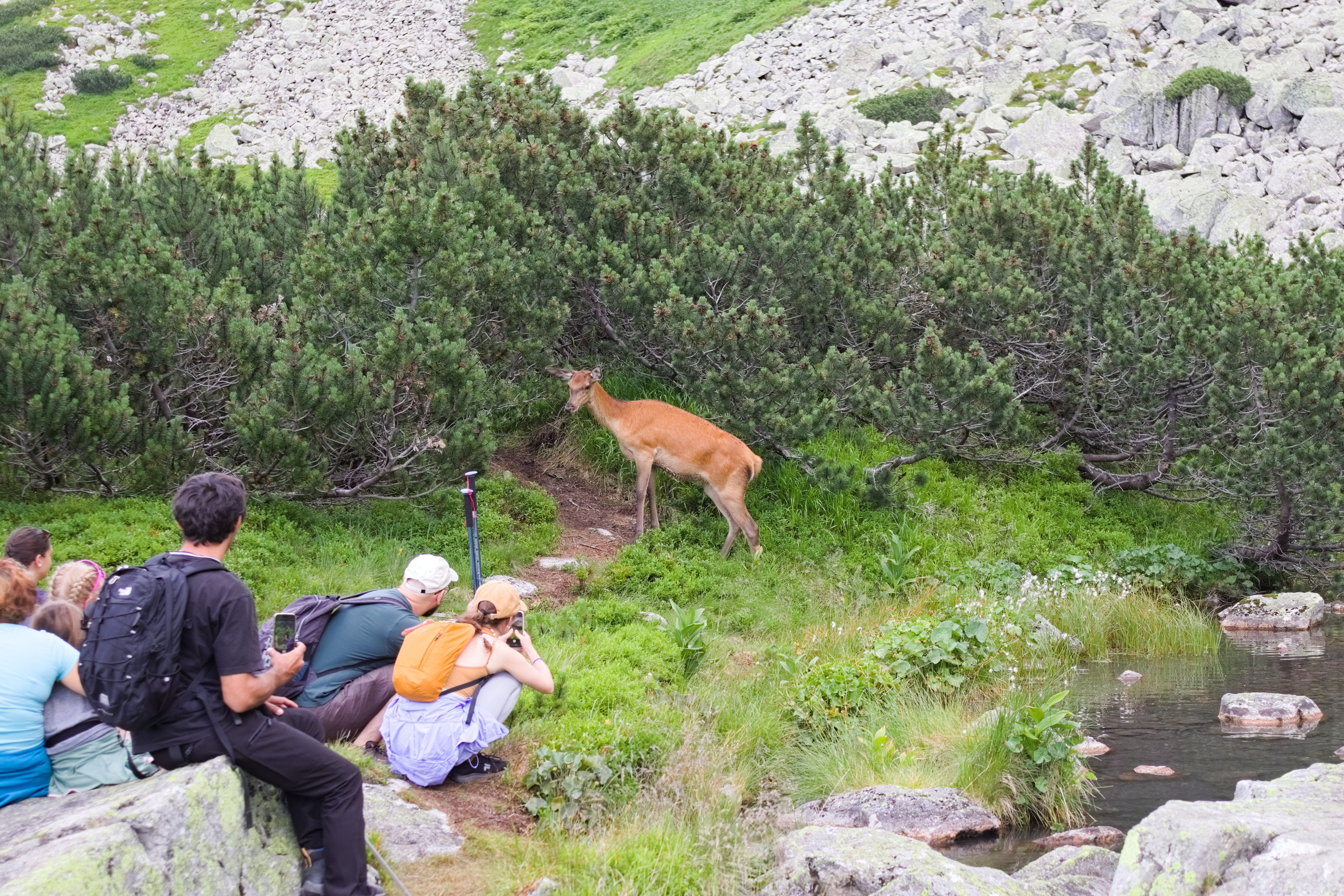
Before we could climb Mały Kościelec, we had to pass between three more (smaller) lakes: Wyżni Czerwony Stawek, Niżni Czerwony Stawek, and Kurtkowiec. To our (but not its) surprise, we saw a deer, which caused significant delay to us and a bunch of other hikers. The deer did not care about the many camera lenses pointed at it, and simply went about its business.
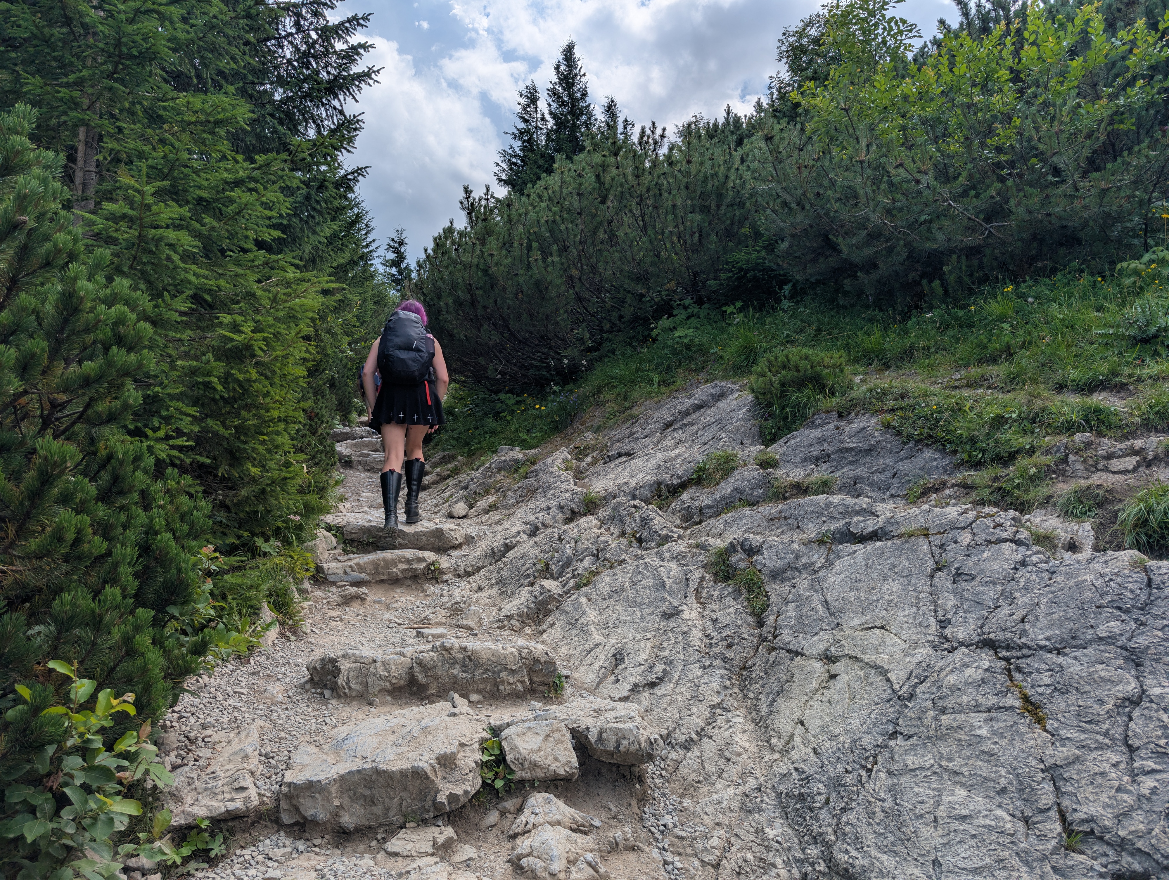
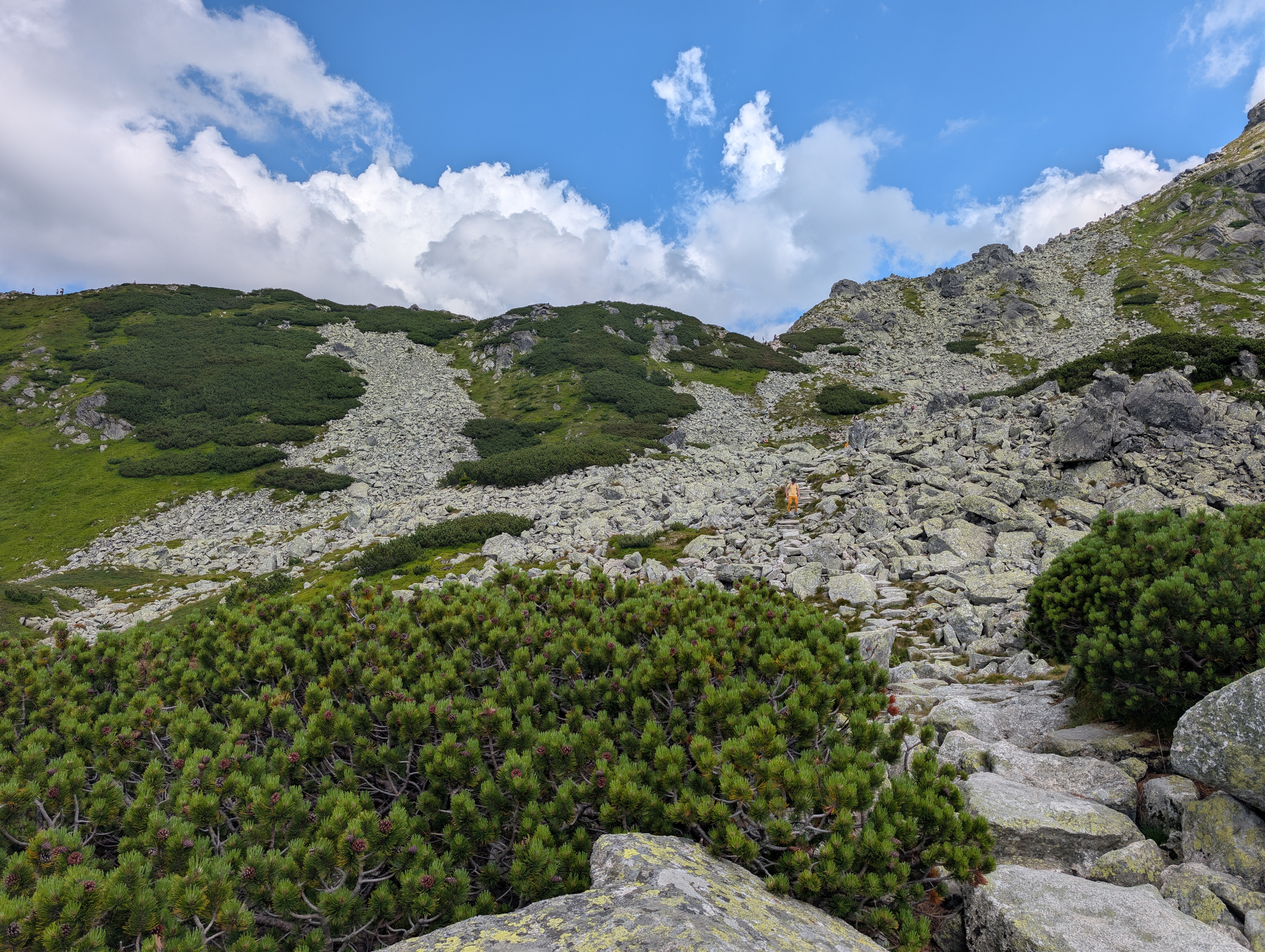
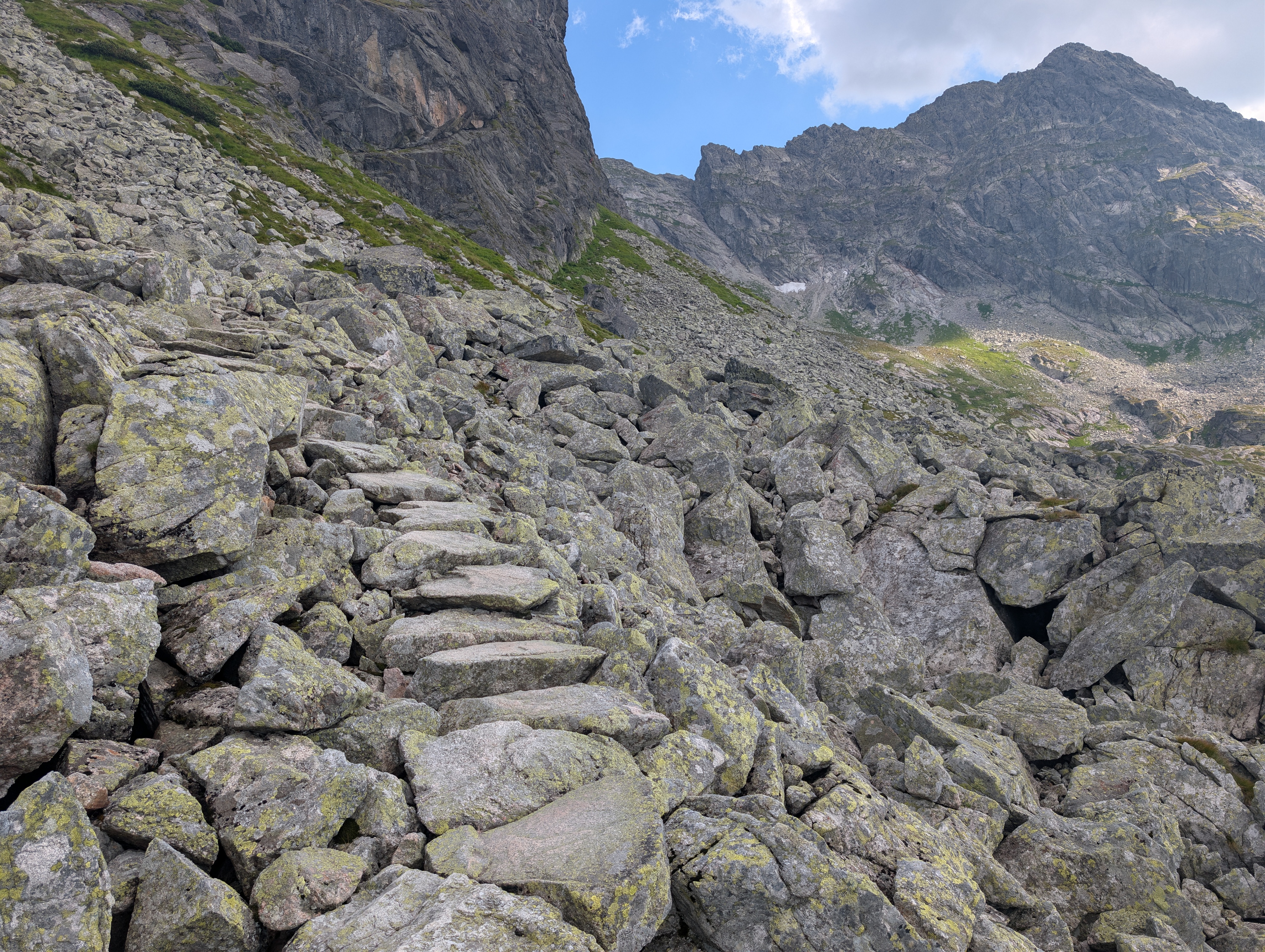
Next, we made the ascent towards Mały Kościelec. The ground changed to medium-sized boulders, some of which were thankfully laid out in a reasonably even path. We had a nice view back onto the lakes, up towards Kościelec (Kirchberg, which we did not climb), and also saw a hint of snow and ice in the distance. There wasn't much left, though, and especially not on the peaks.
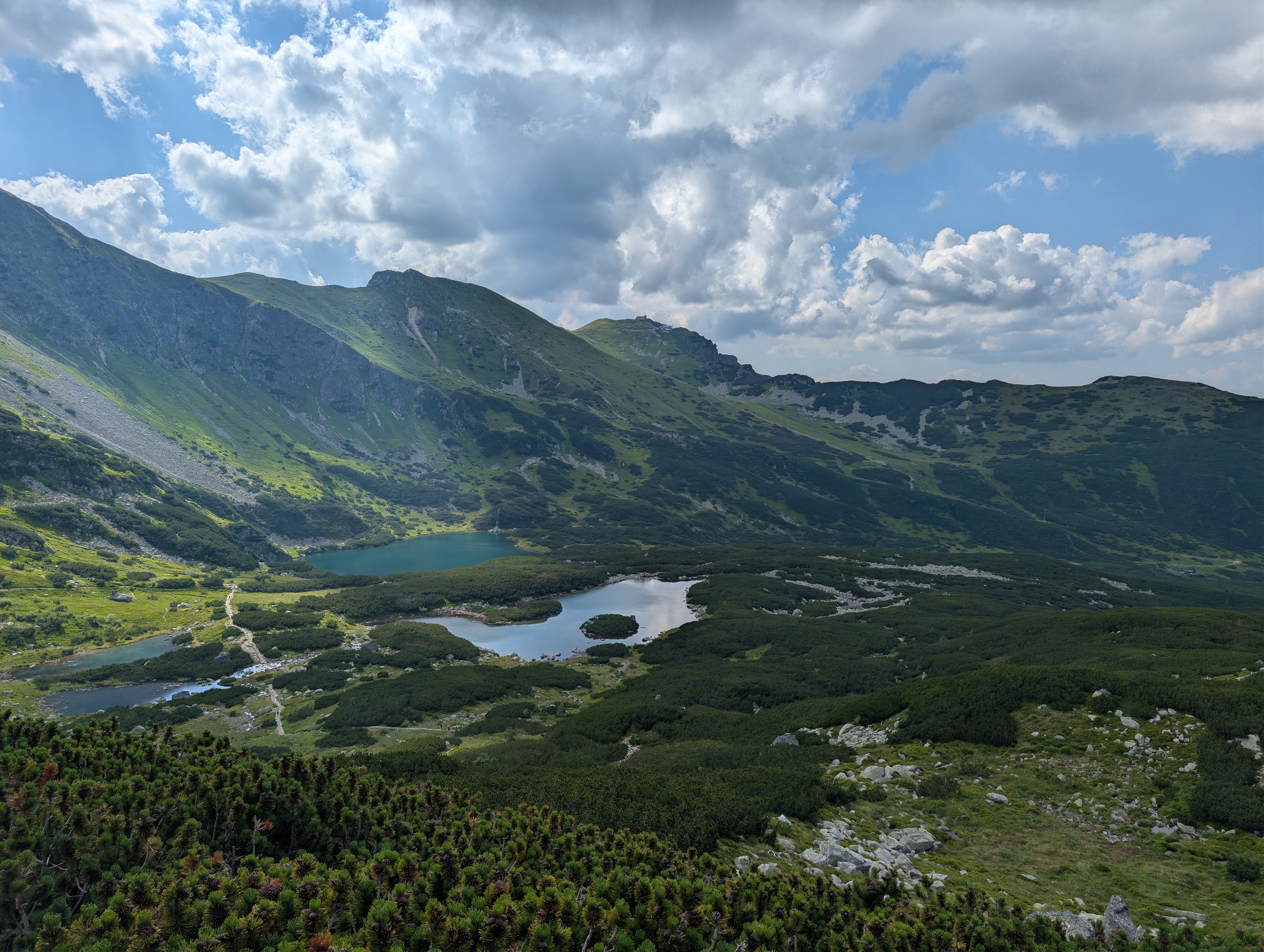
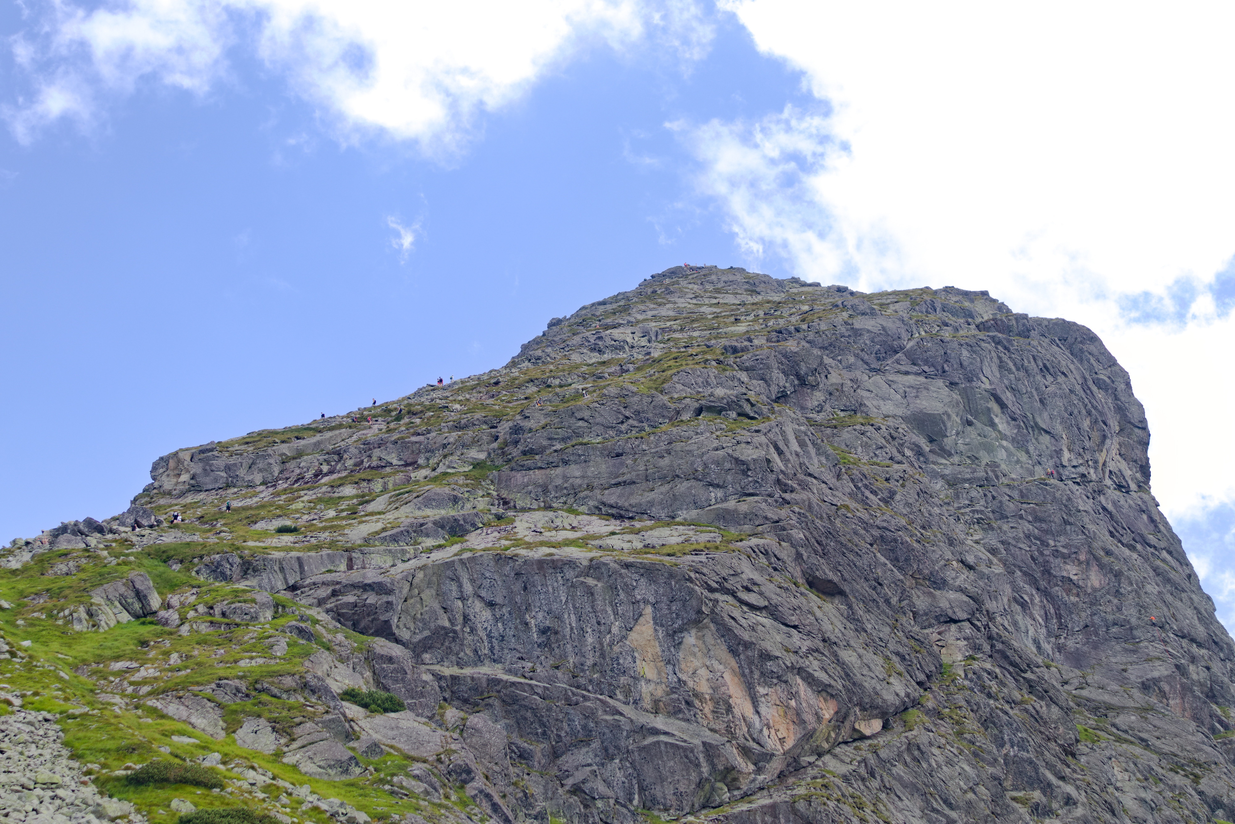
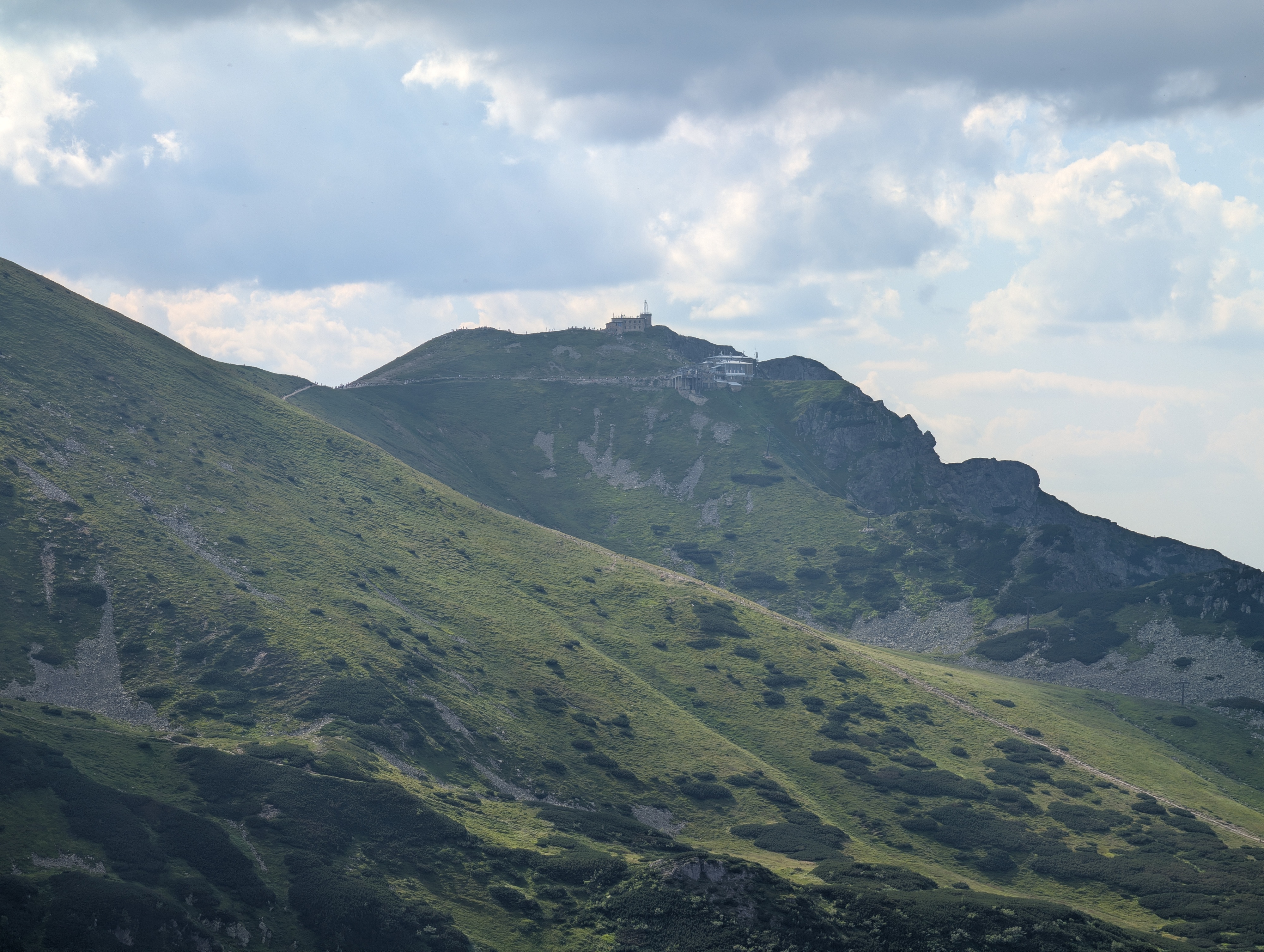
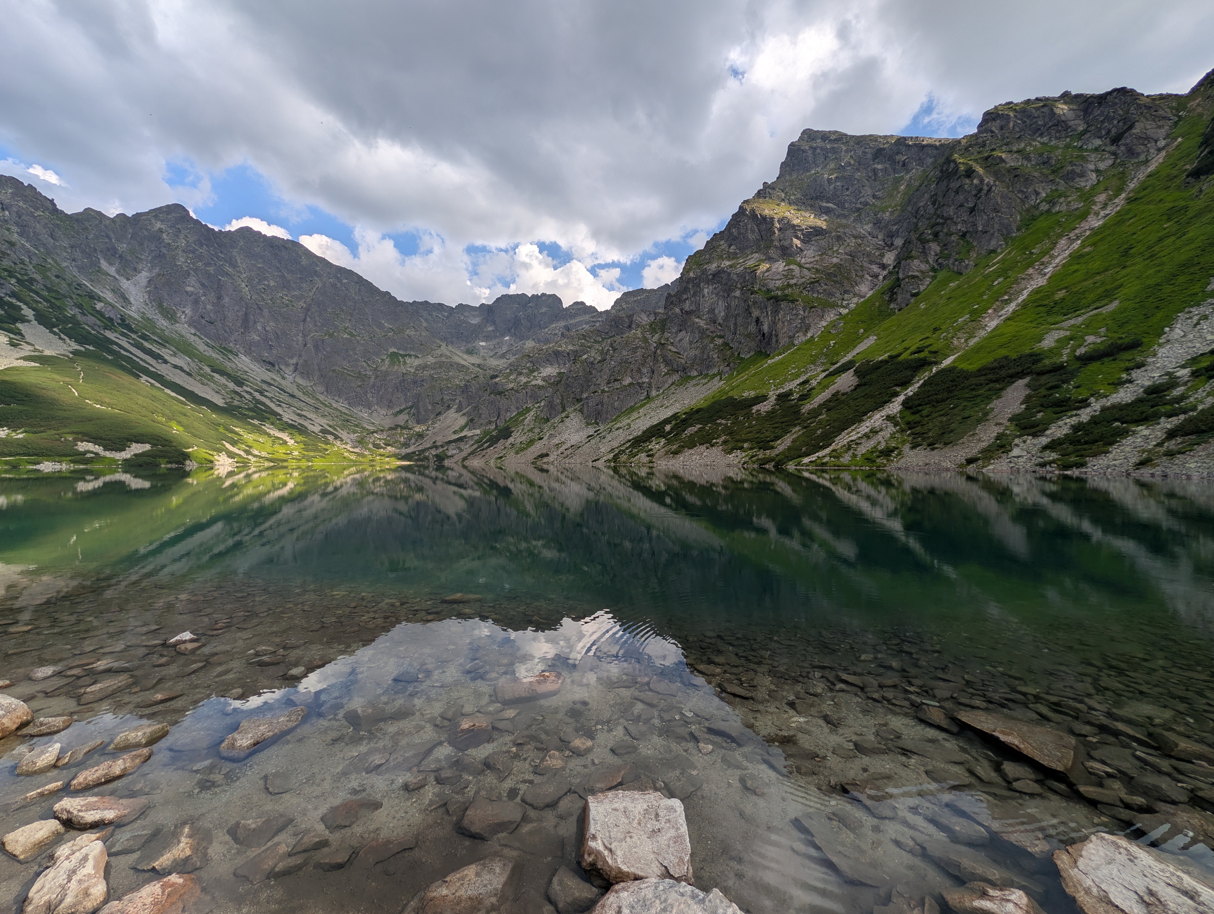
Once atop Mały Kościelec, we could look back at yesterday's destination, Kasprowy Wierch. The ridge itself was rather small, and offered a prime view of Czarny Staw Gąsienicowy (Schwarzer Gąsienicowa-See).
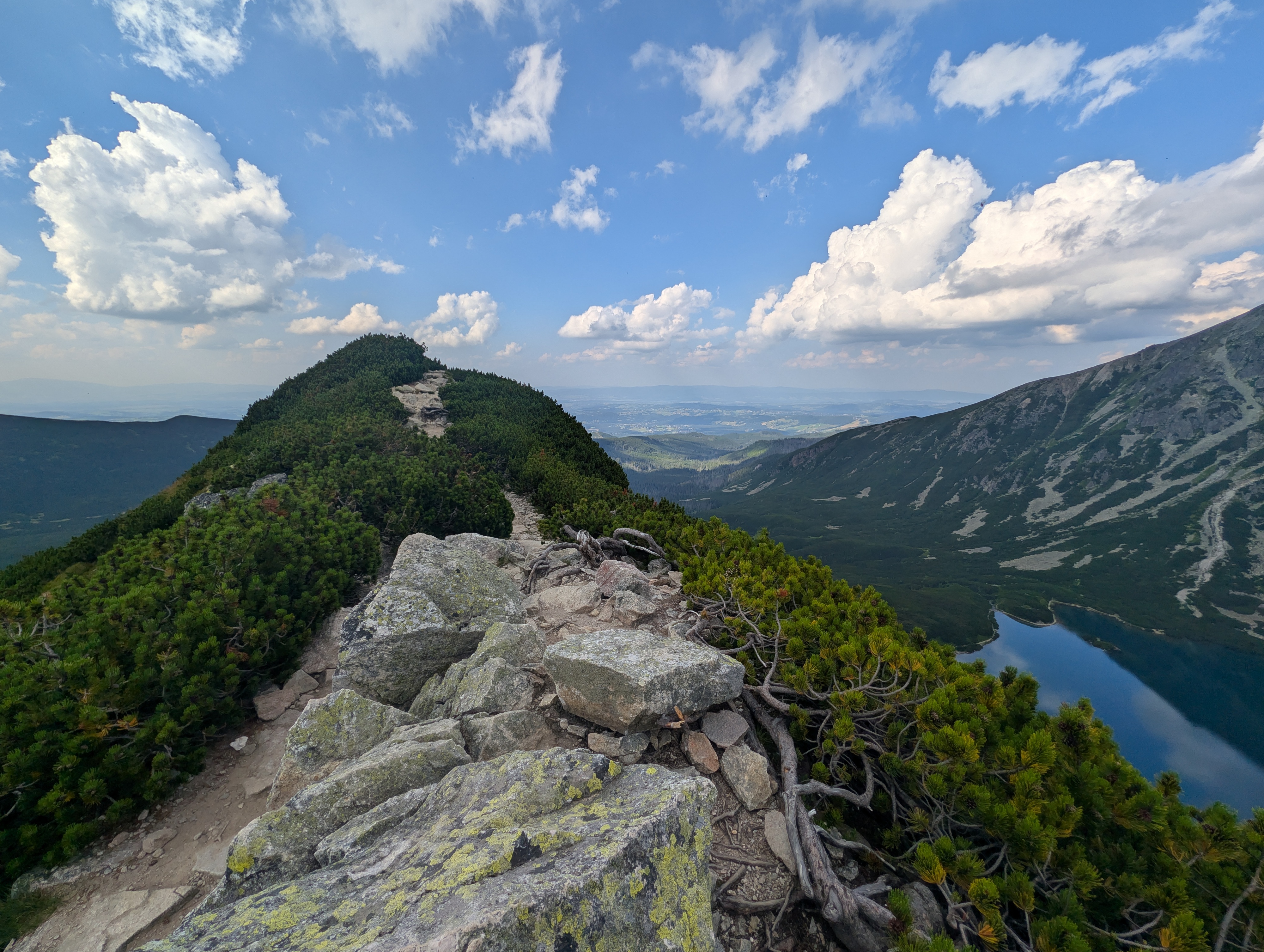
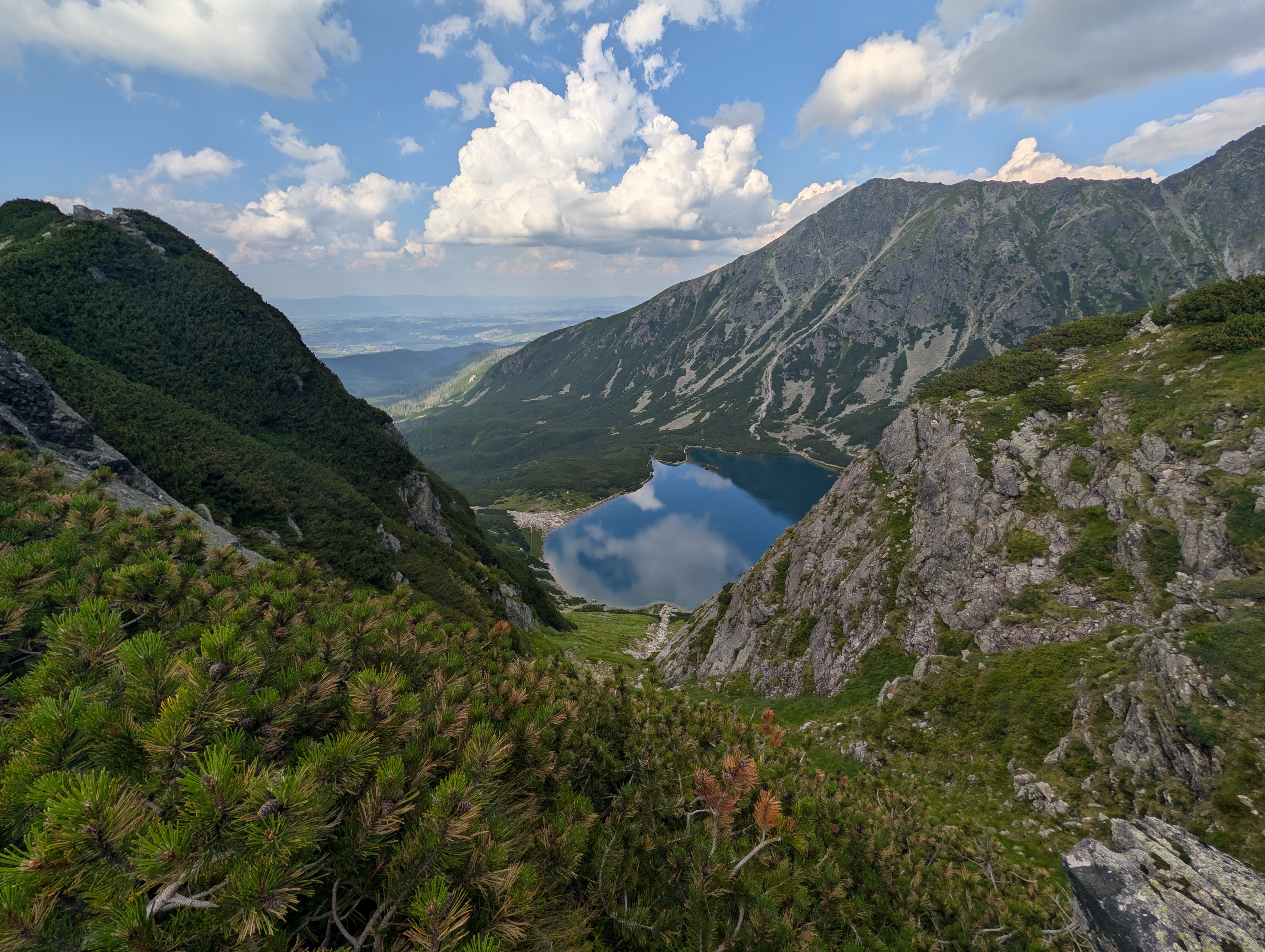
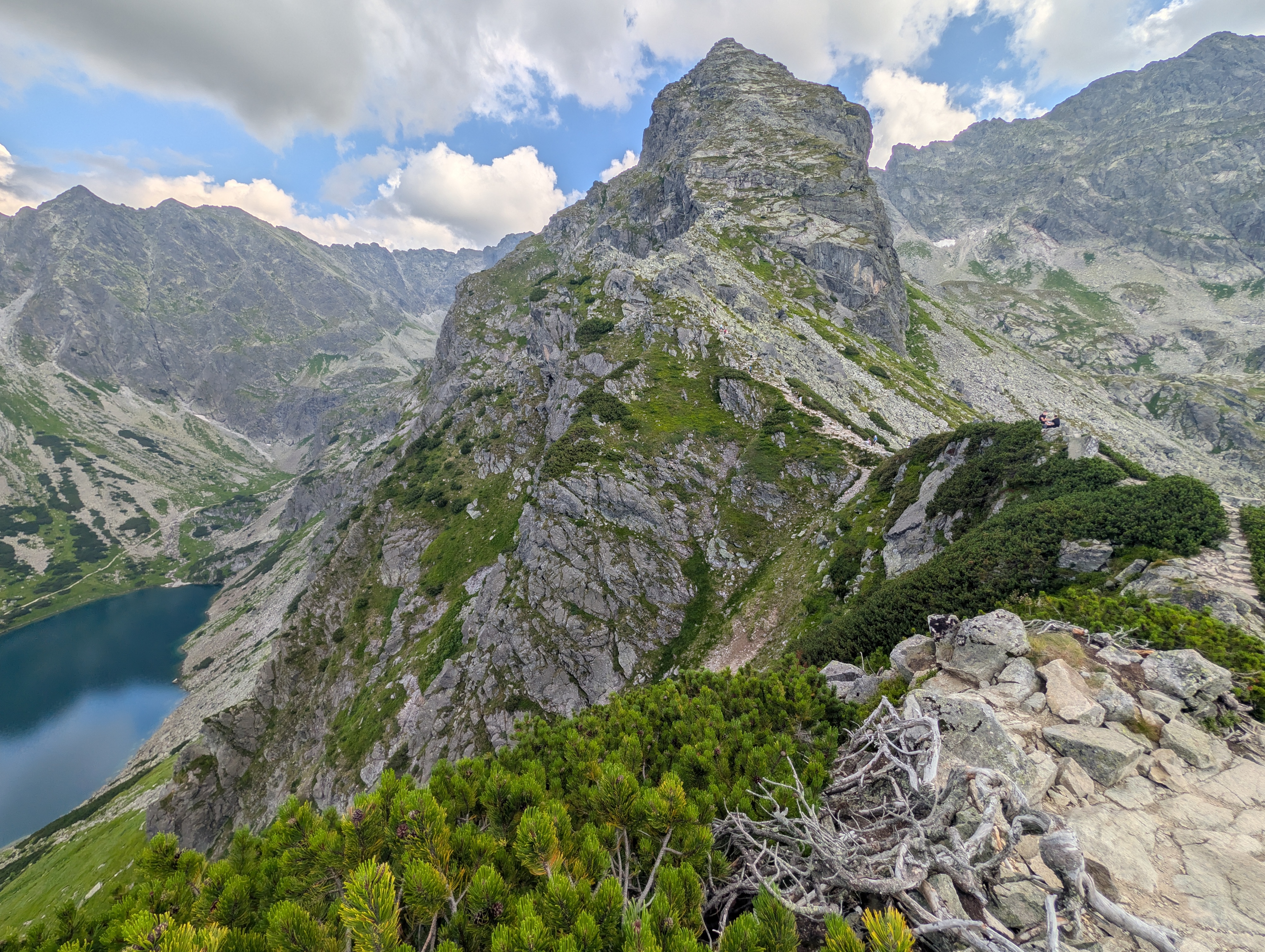
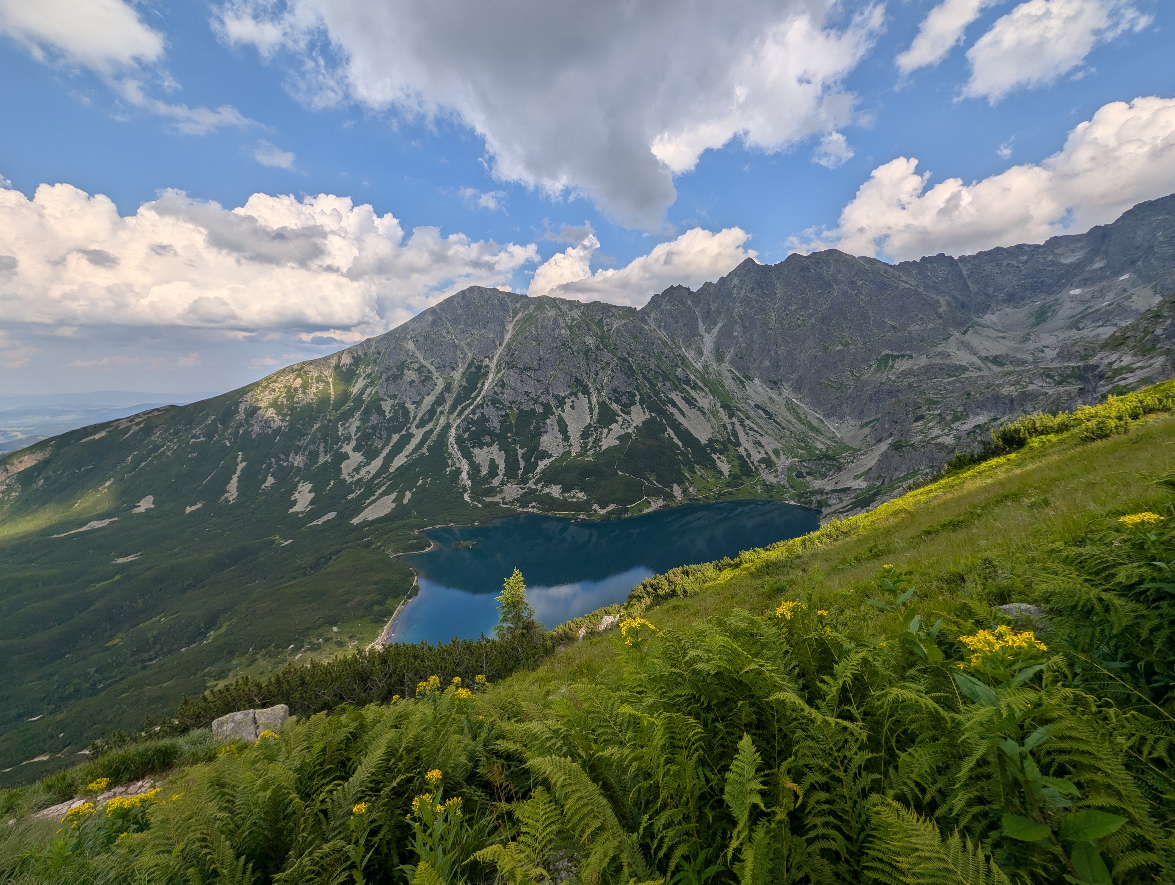
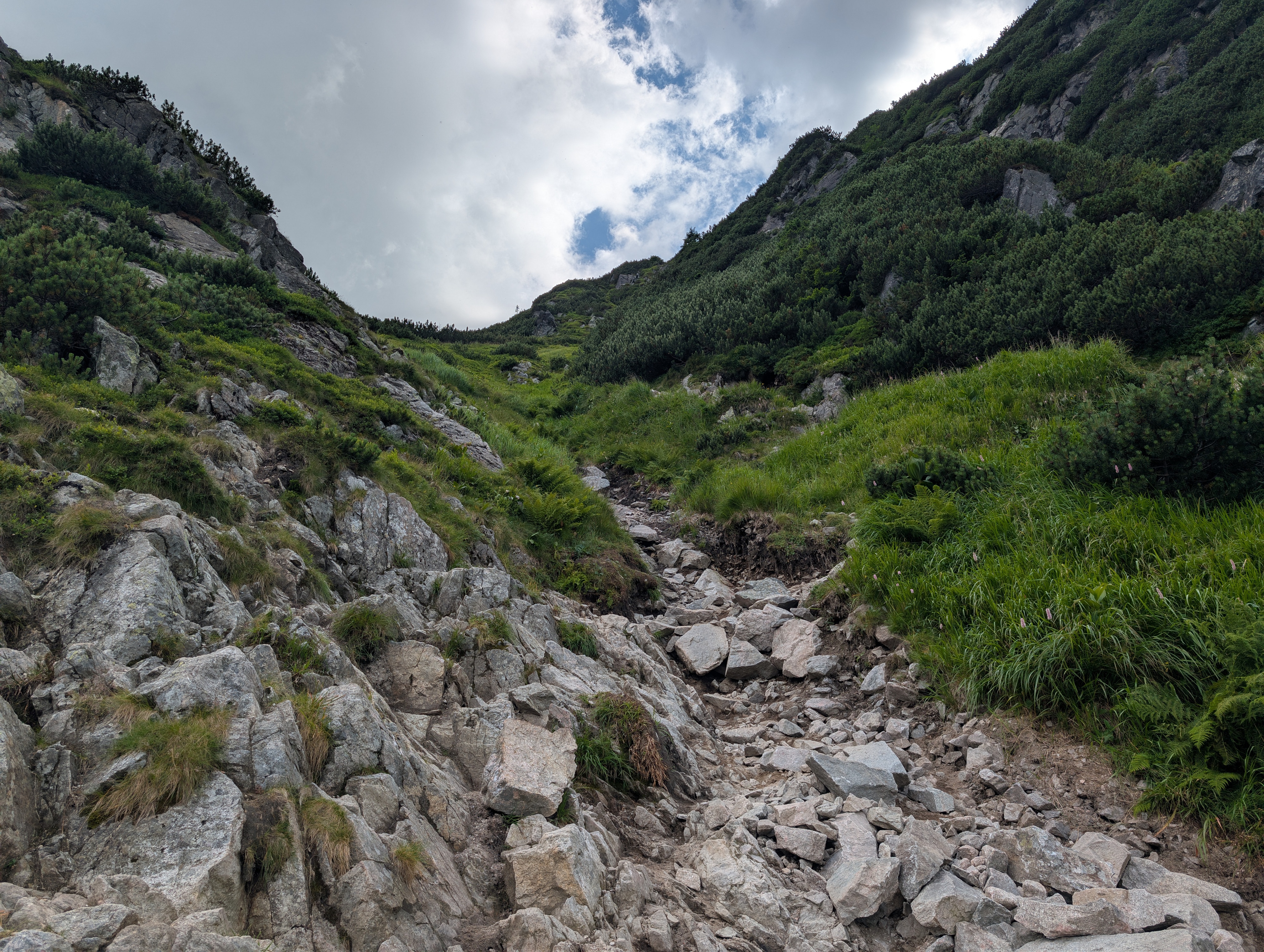
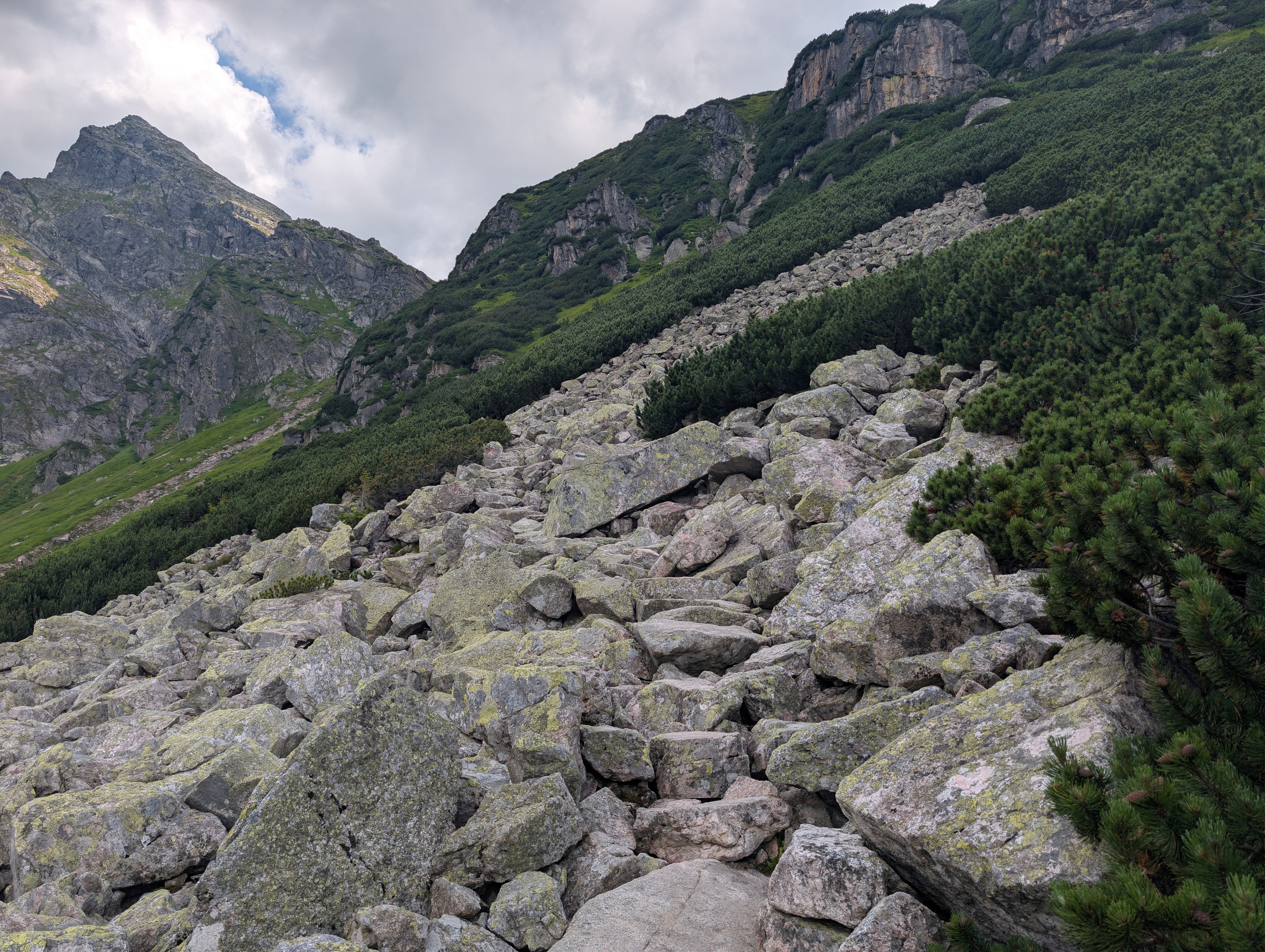
The descent towards the lake was rated SAC T3, indicating challenging mountain hiking. Indeed, we had to pass not just nicely laid-out stones, but also quite a lot of steep, loose rubble that looked more like the remnants of a stone avalanche than a hiking trail. We nearly missed the bend towards a better trail segment and wondered whether we should follow the rubble for a bit longer. In any case, once at Czarny Staw Gąsienicowy, we could take another break and enjoy its clear, cold water. Apparently, it is home to quite a lot of fish. Unknown to us, we also had a prime view of the ridge that is home to Orla Perć (Adlerpfad / Eagle's Path), which we would pass by a few days later.
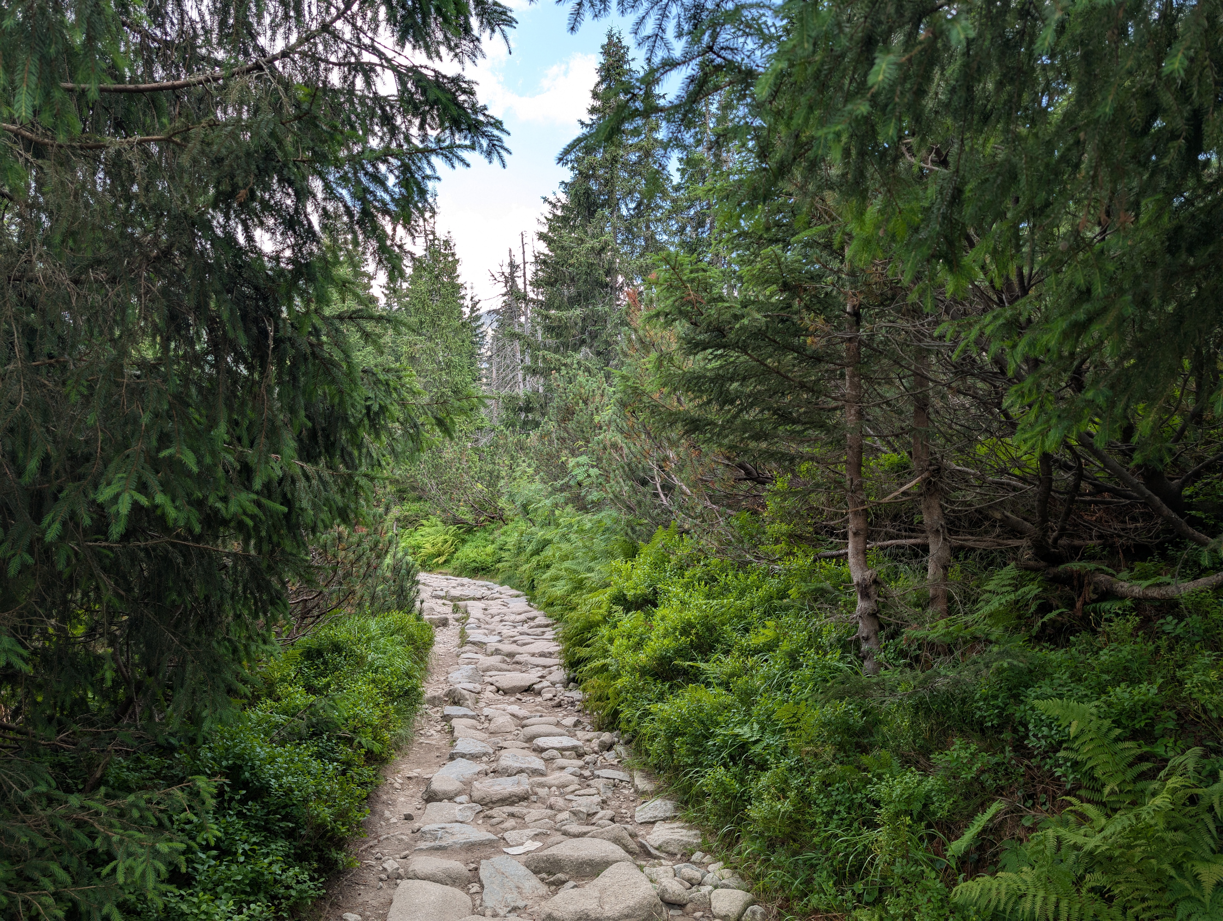
The return to Hala Gąsienicowa and Królowy Grzbiet was uneventful. Proper trees returned, indicating that we were slowly descending.
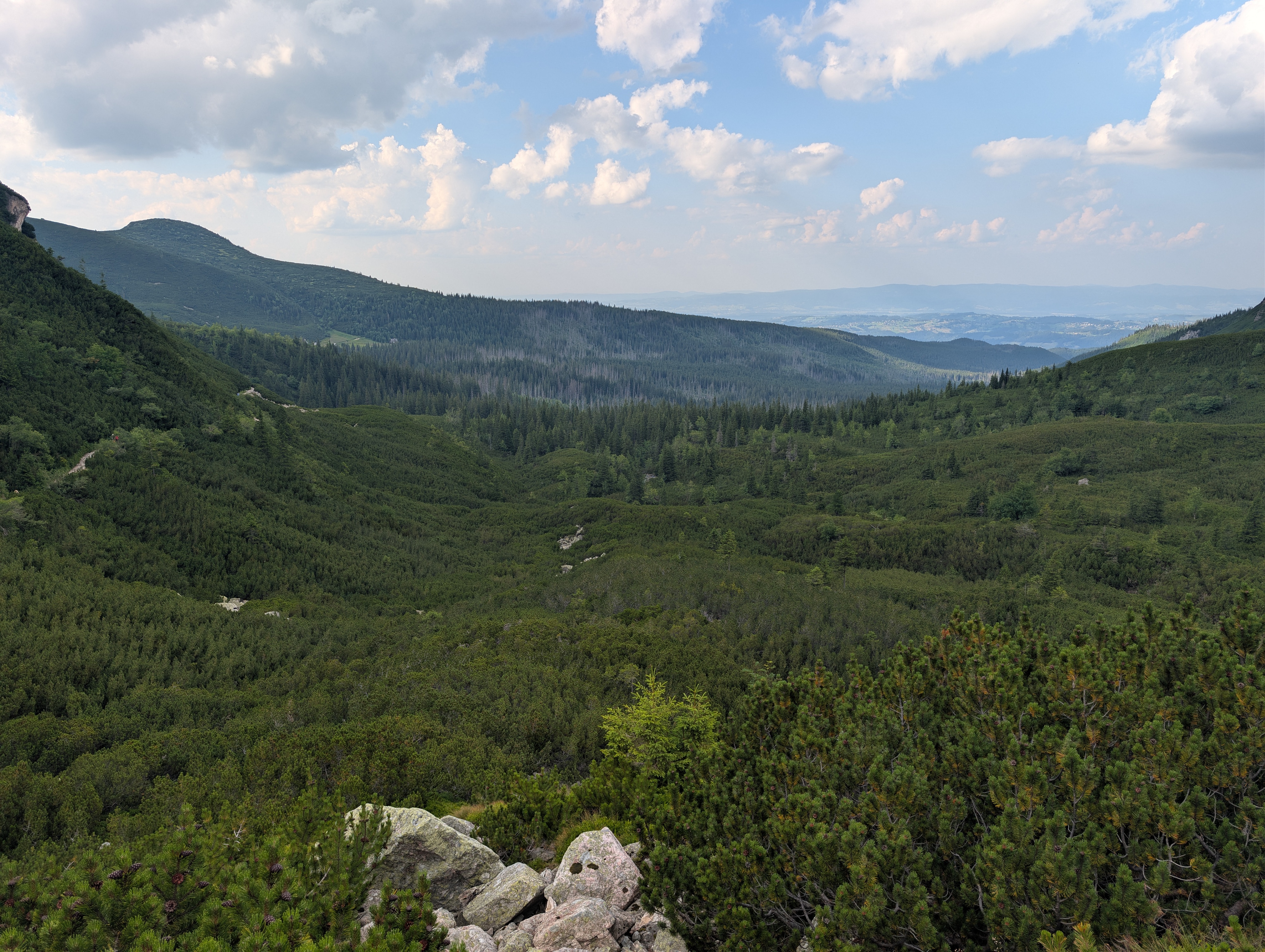
However, we did not return to Zakopane via Skupniów Upłaz and Boczań, taking Siodłowa Perć into Dolina Jaworzynka instead. The descent was steep, but pretty scenic, and the valley also offered a last view towards the harsher side of Skupniów Upłaz.
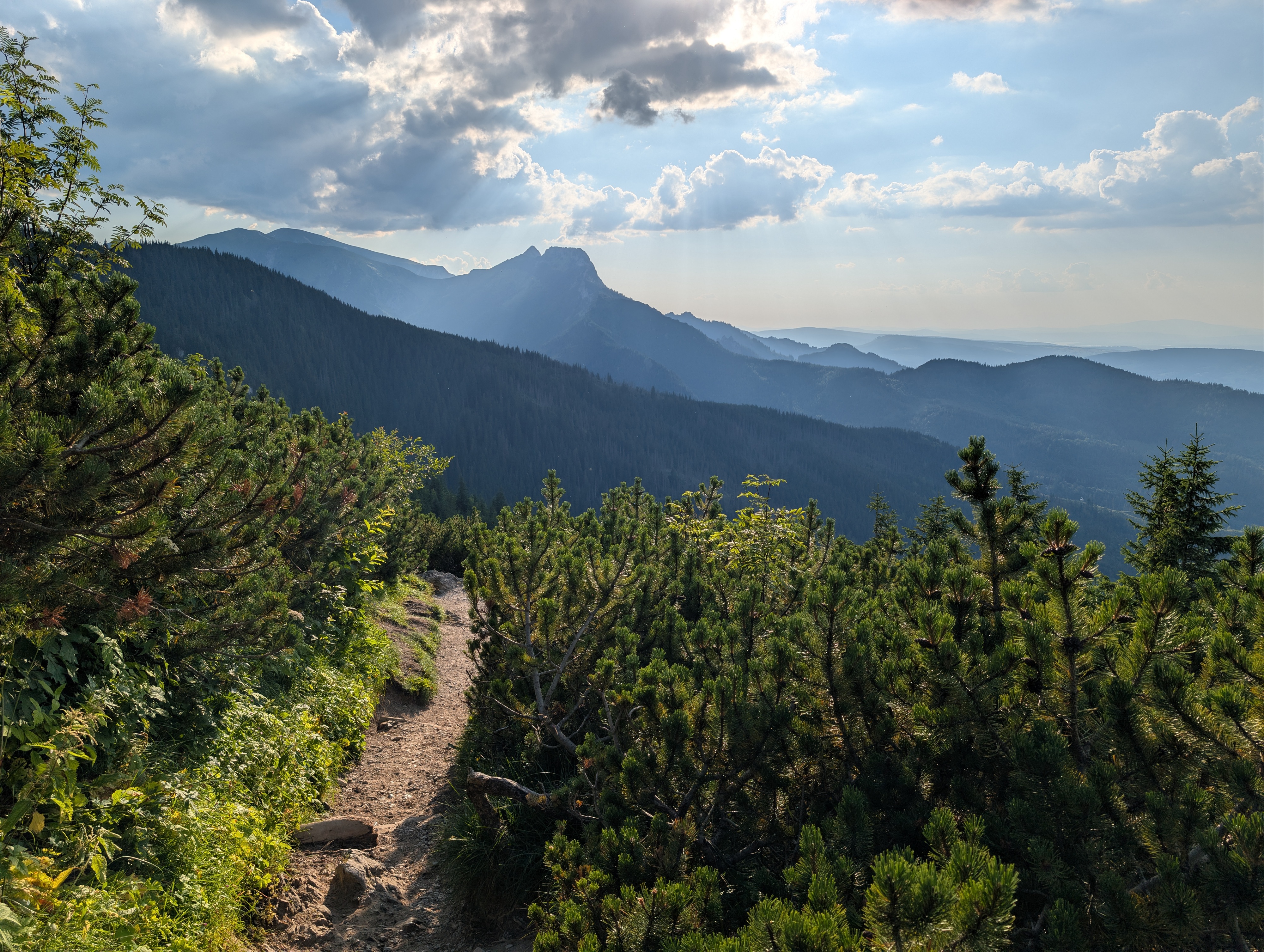
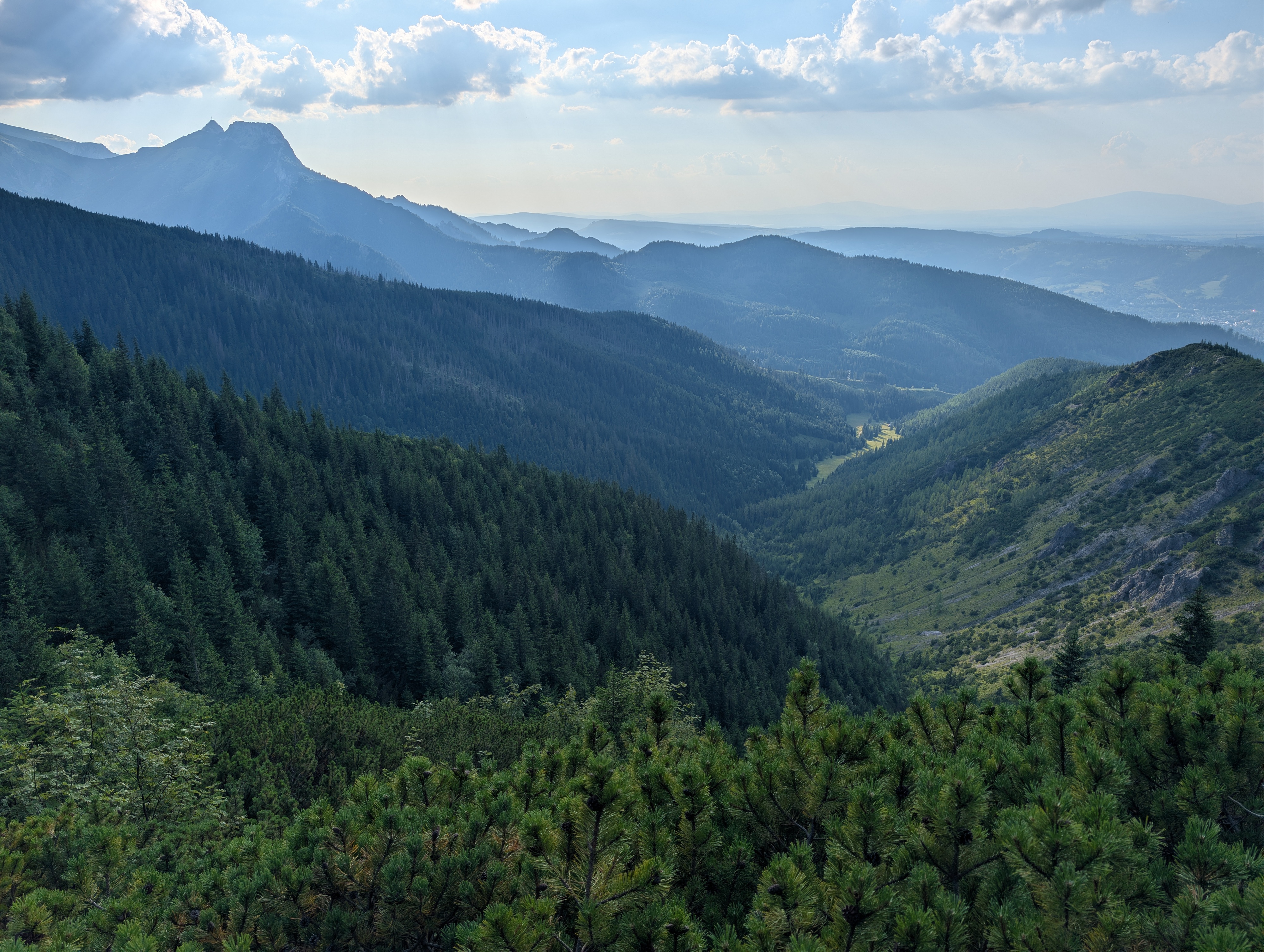
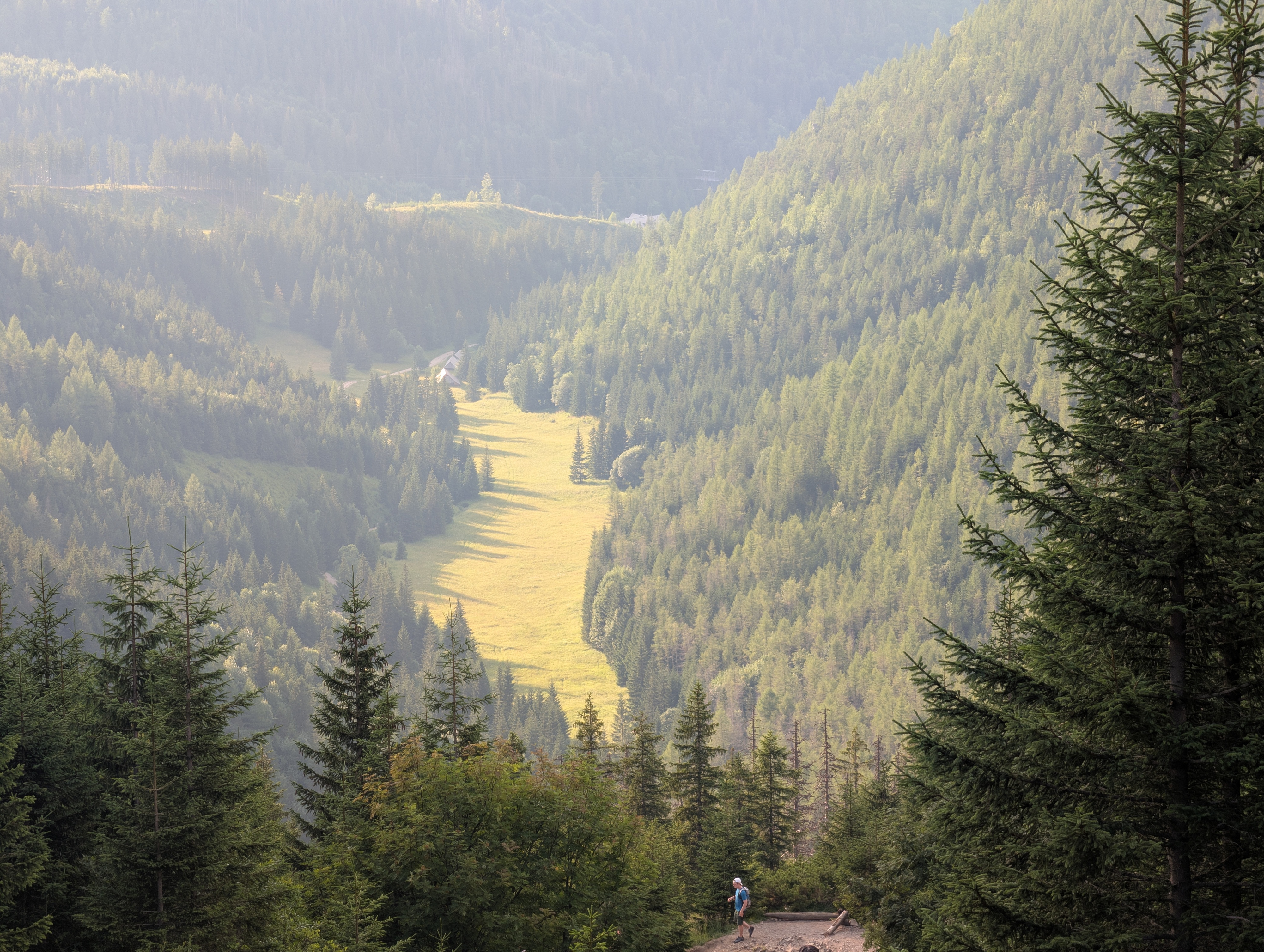
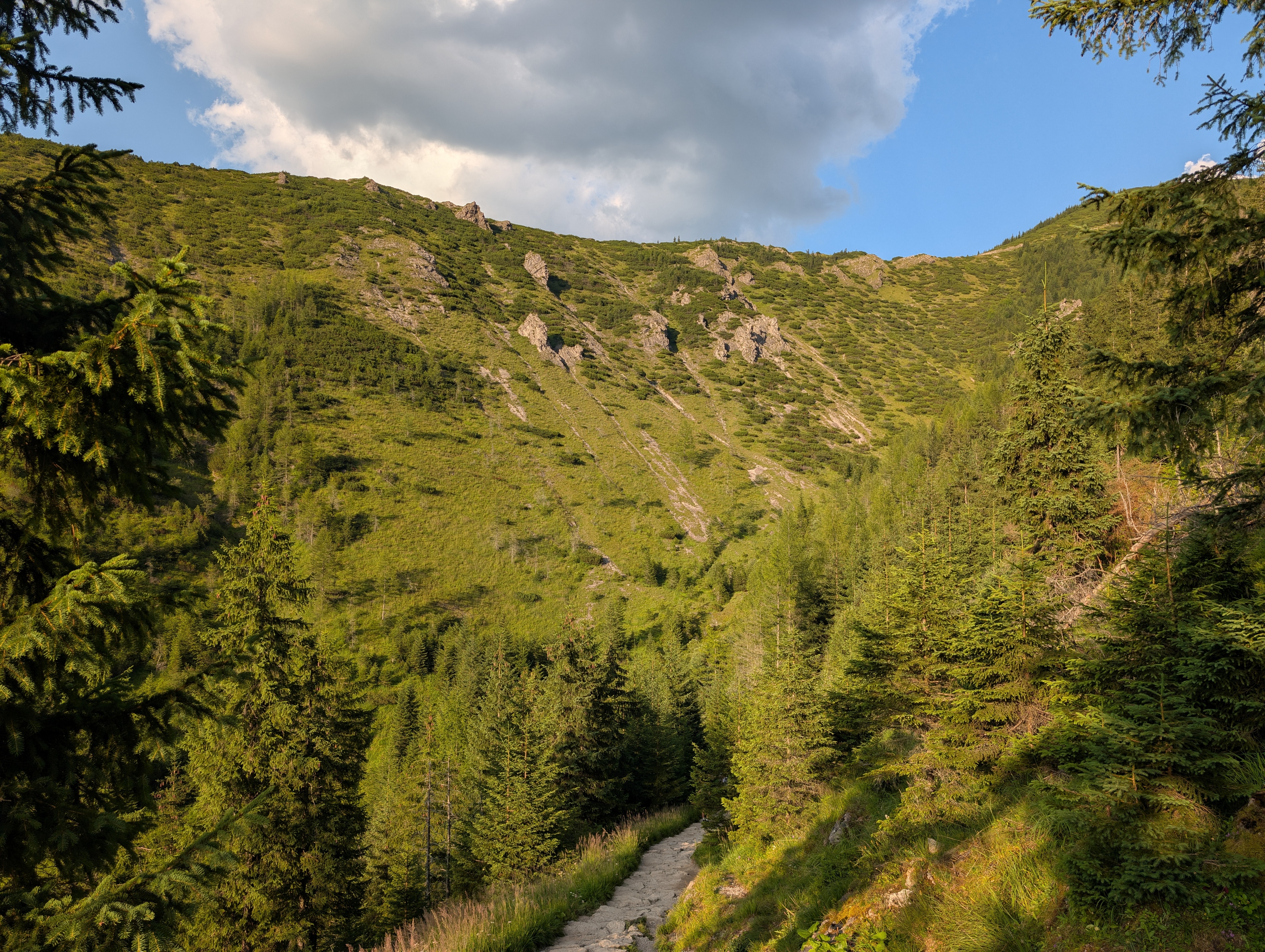
We returned to Zakopane just in time for lunch, having traversed 18 km with a total ascent of 1,050m. Again, we made plenty of breaks and took a total of 10 hours the trip. More photos can be found at lib.finalrewind.org/Mały Kościelec 2026.