This is a post about our 2026 vacation in the Tatras (Tatry), see Hiking vacation in the Tatra Mountains for an overview.
For our first full day in the Tatras, we decided to hike along the main ridge of the Western Tatras: from Kopa Kondracka / Kondratova kopa (DE / EN) to Kasprowy Wierch (Kaspars Kogel). In order to do so, we had to climb from 960m to 2,000m, and then back down along a different route. And all of that with a weather forecast of nearly 30°C – so we made sure to bring plenty of water and minerals with us, and were looking forward to comfortable 20-something °C on the ridge.
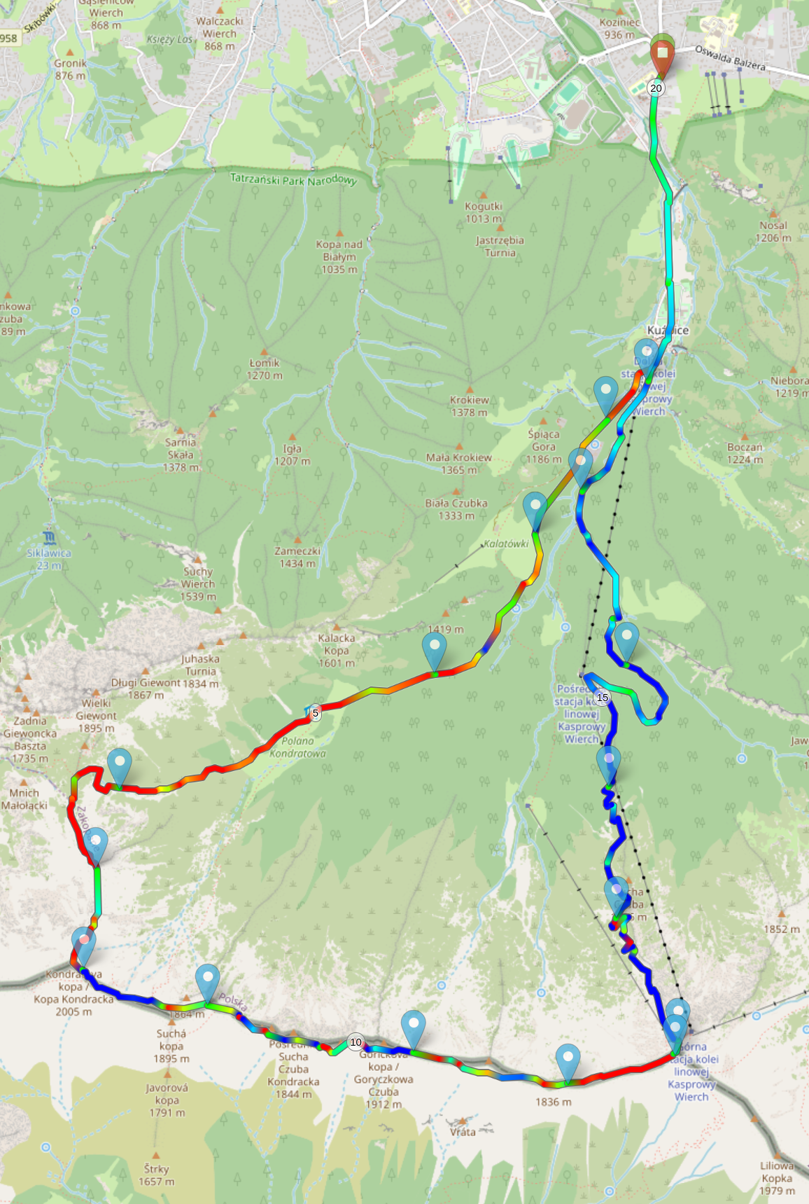
We headed out at around 10:00, entering TPN at 10:30-ish via Kuźnice (DE). It's the largest and closest entrance in the vicinity of Zakopane, served by several bus lines, and also houses the lower station of the cable car to Kasprowy Wierch. As such, the paths were quite full, but the crowds slowly dispersed as we made our way towards Kondracka Przełęcz (Kondratovo sedlo / Kondrat saddle).
The first five kilometers to Schronisko PTTK Hala Kondratowa (Kondrat meadow hut) were pretty relaxed, with broad paths and just 400m of elevation gain in total. We could already glean some views along the local valleys, forests, and nearby mountains, but apart from that, there's not much to say.
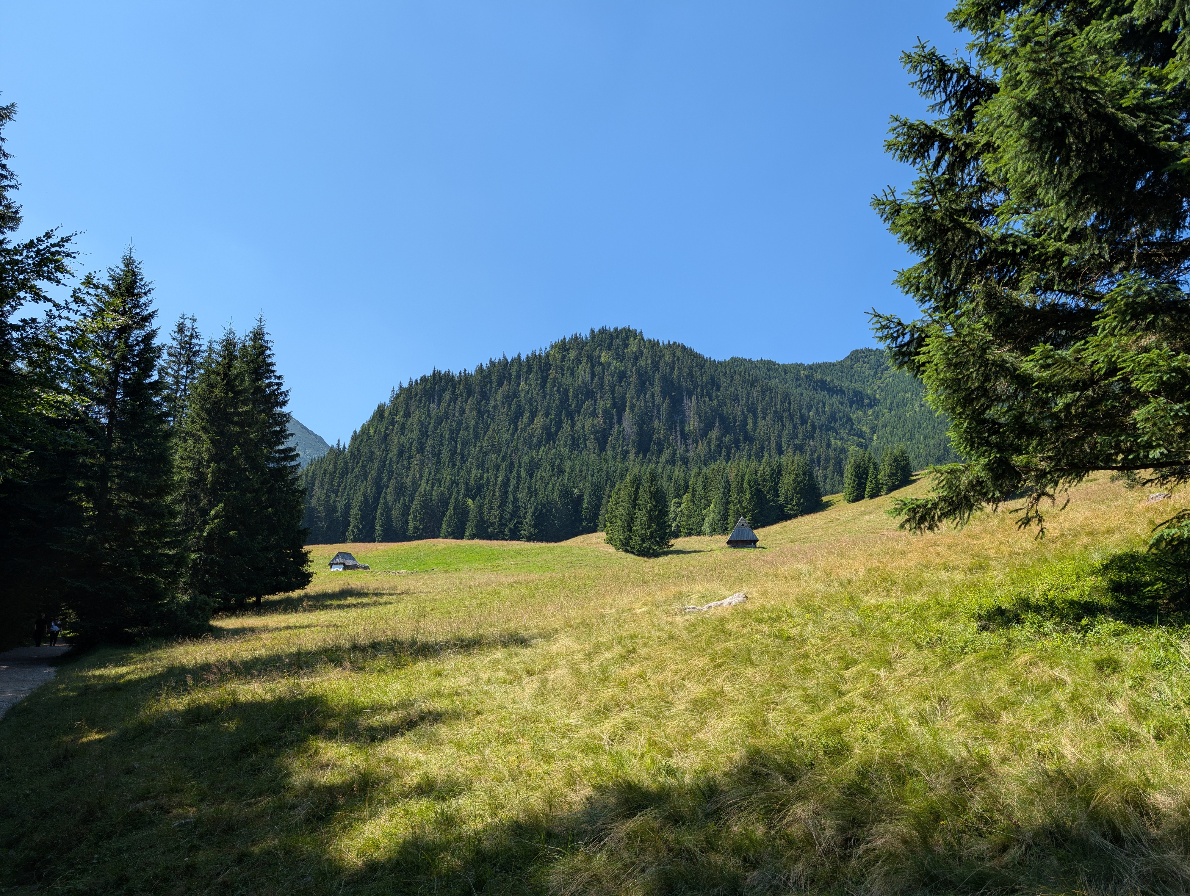
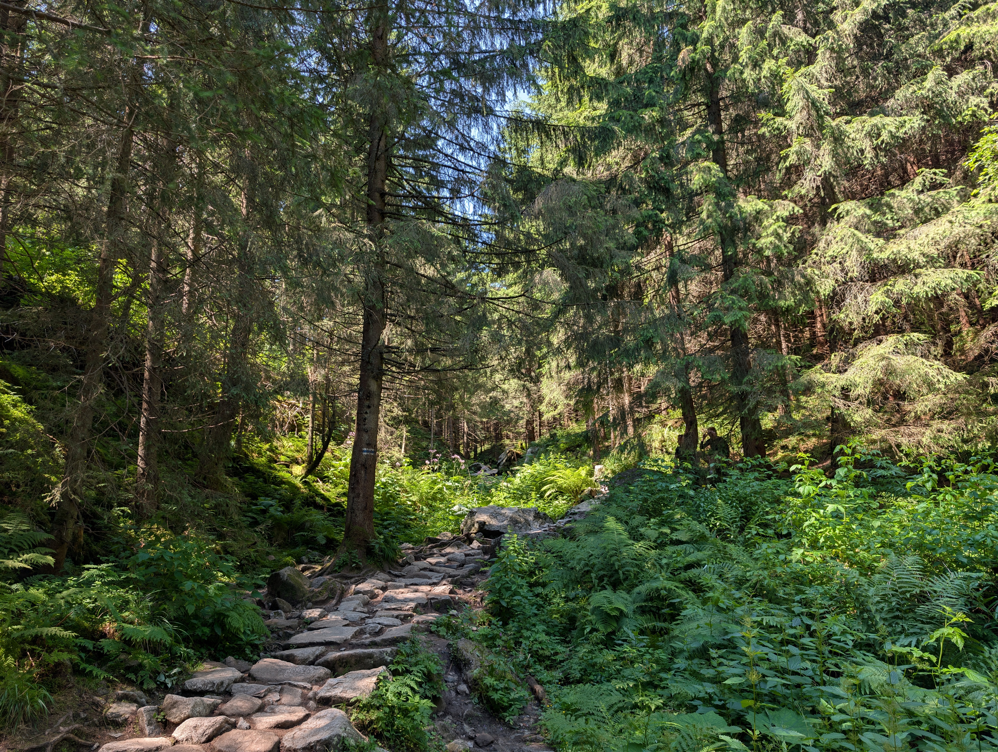
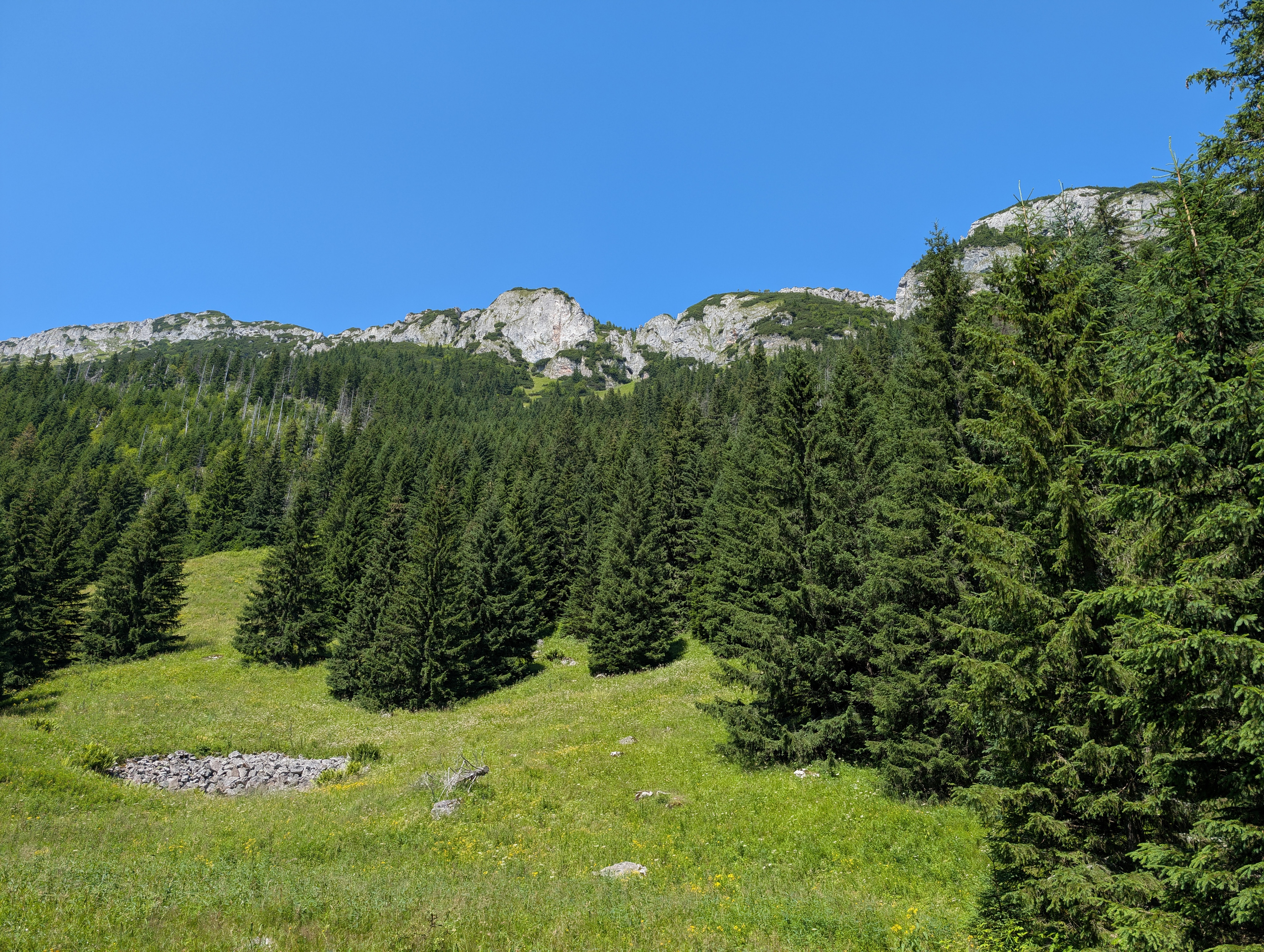
Schronisko PTTK Hala Kondratowa offered toilets (with a pretty long queue), ice cream, and some more nutritious food as well. In our case, we simply rested for a bit before continuing towards the next stretch at 12:30: the much steeper and narrower ascent from Polana Kondratowa (Kondrat meadow) to our first real intermediate goal: Kondracka Przełęcz. We were far from the only ones making the ascent, which was hardly surprising given that we were right in the middle of Polish summer holidays. Still, at this point, we were no longer surrounded by crowds – just a bunch of fellow hikers. We slowly made our way up, gaining another 400m of elevation over just 1.5-or-so km of trail.
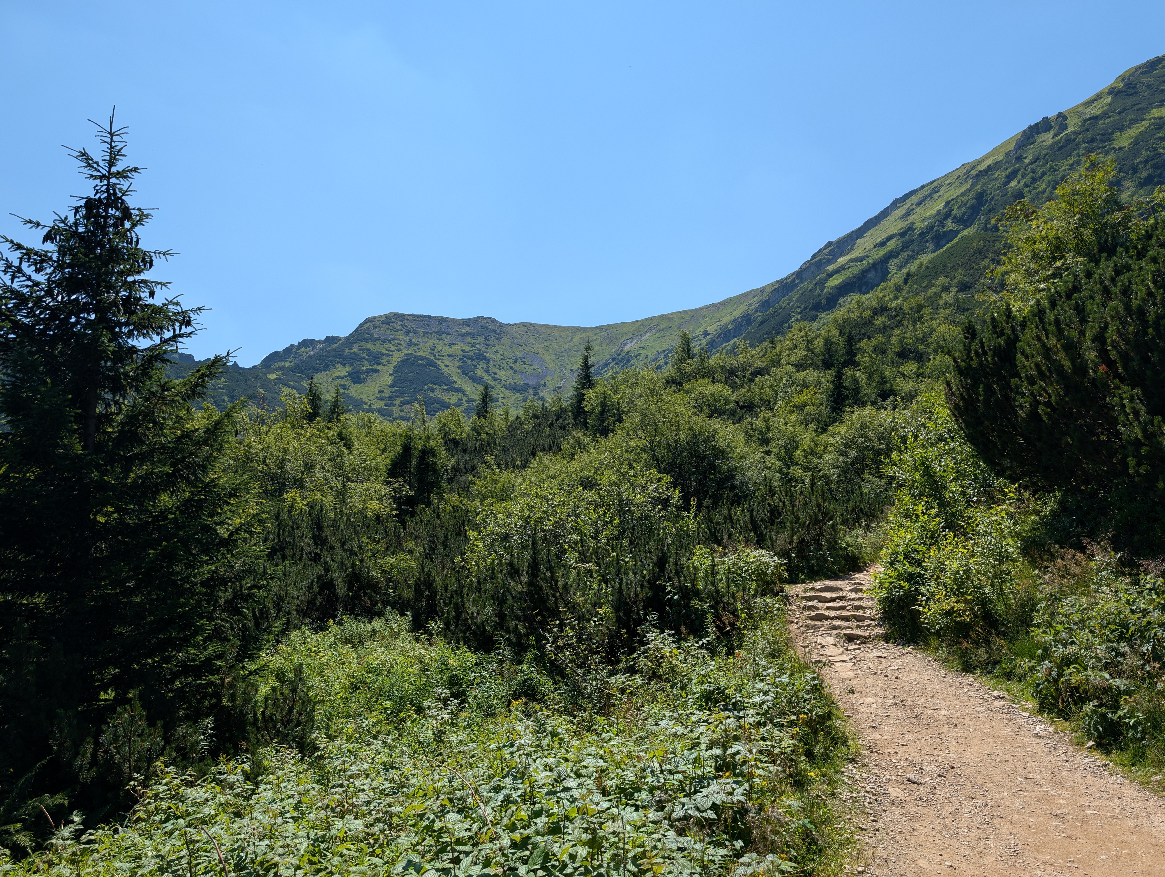
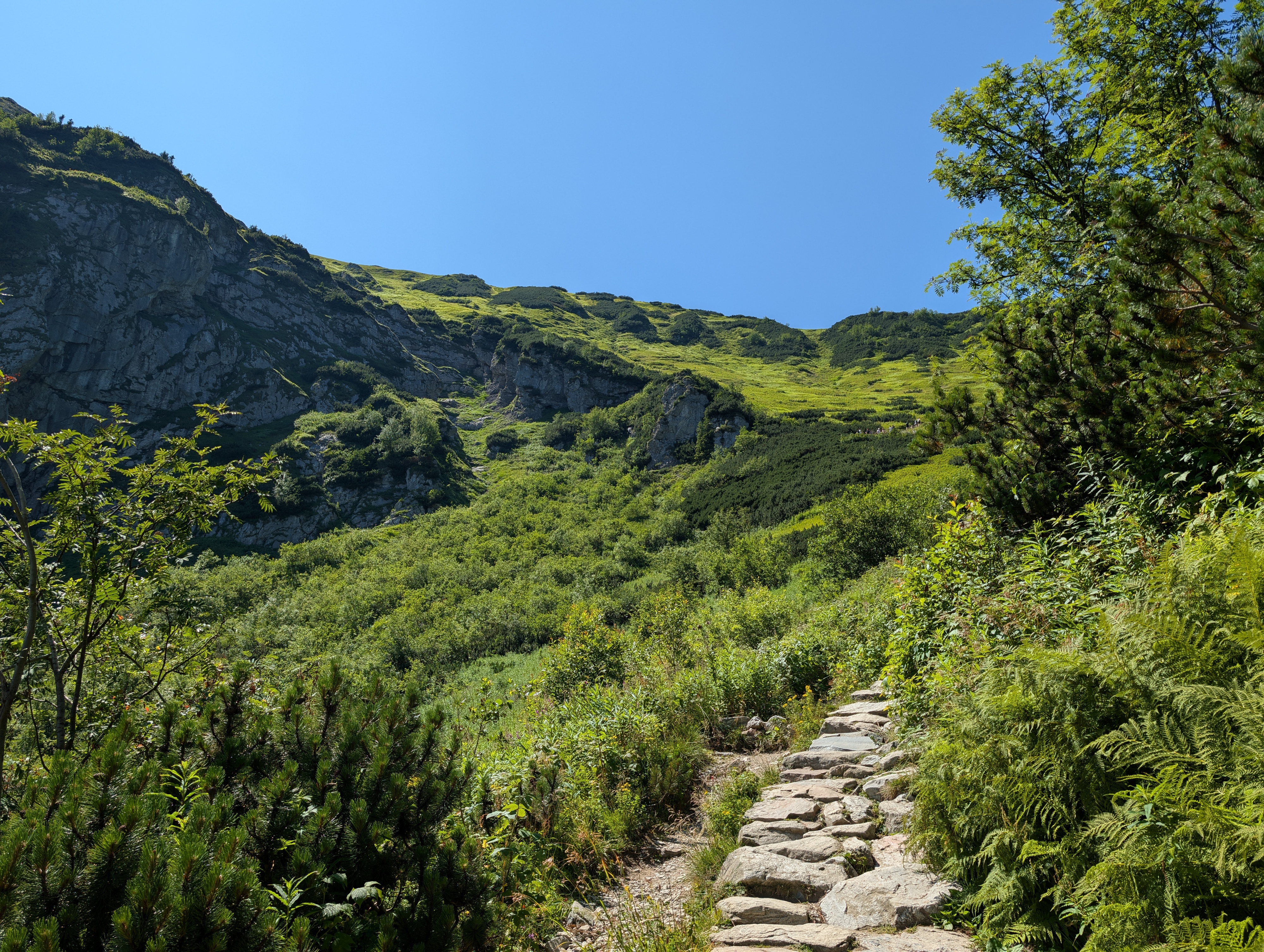
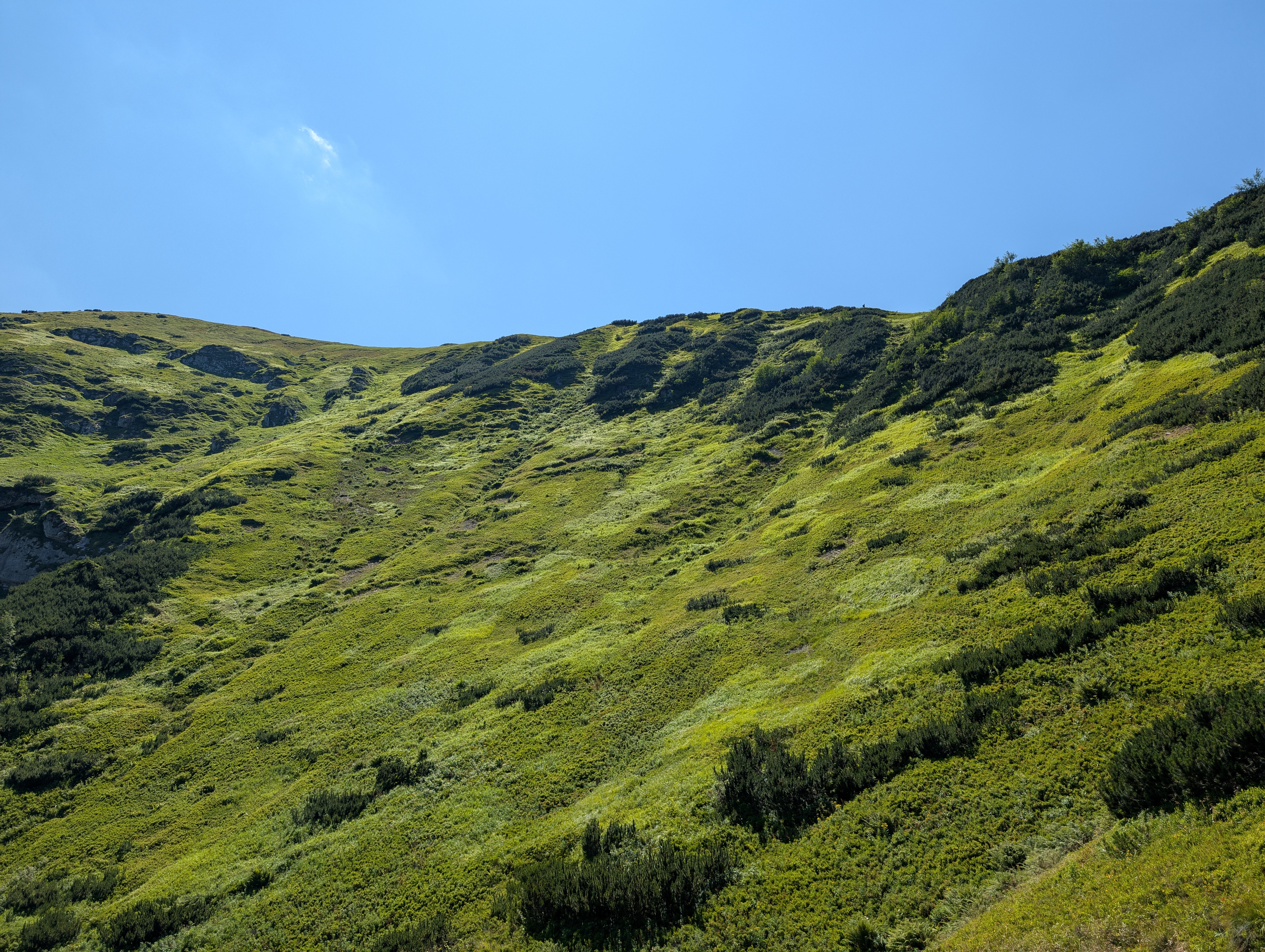
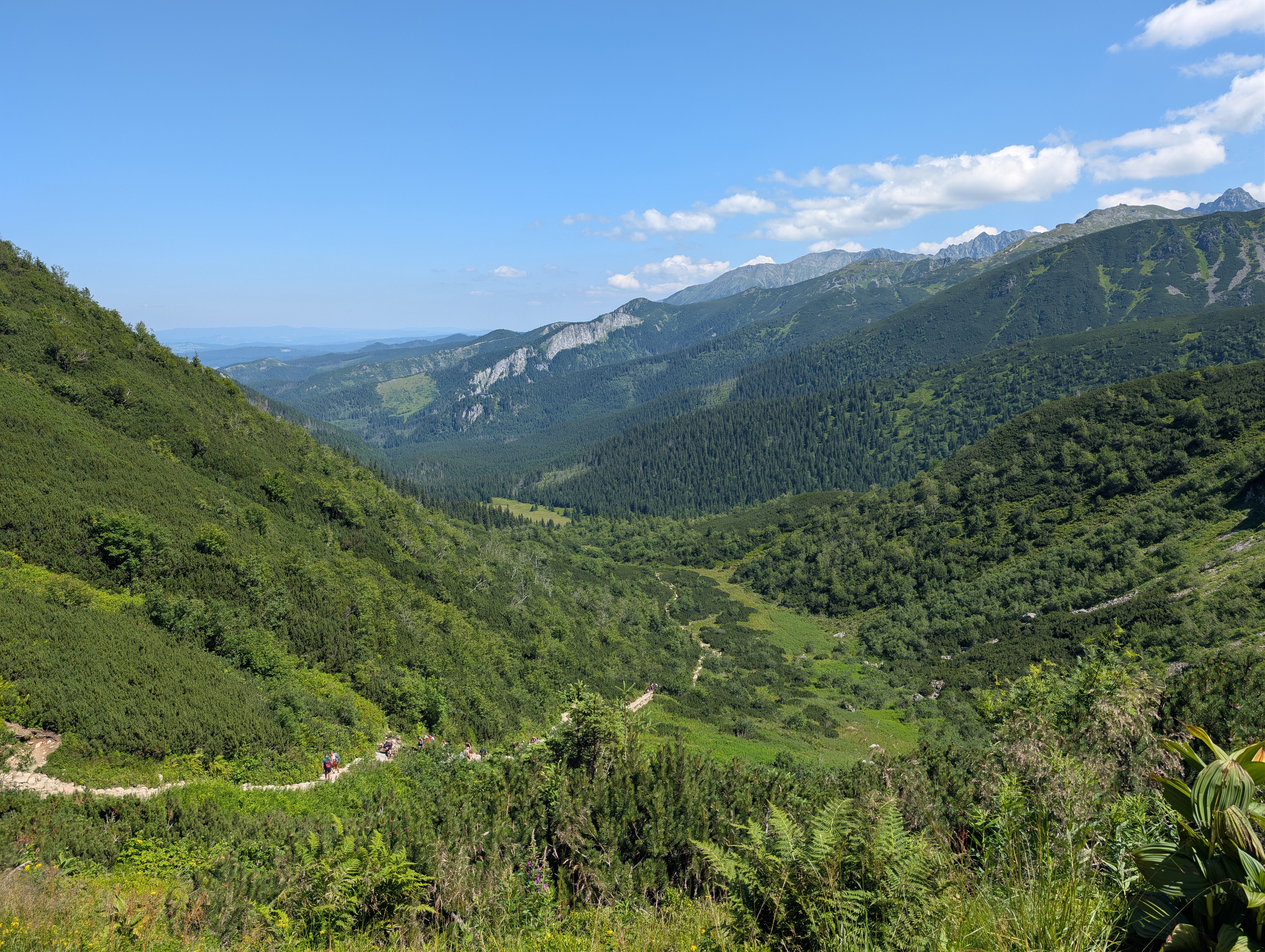
We reached the saddle at 13:45, and took another photo, food, and hydration break. The views were already very nice, despite this not even being the main ridge of the Western Tatras. We could examine the valley through which we had made our ascent, the footills west of Zakopane, and – way in the distance – the observatory atop Kasprowy Wierch. We also had a good view of the nearby Wielki Giewont (1,894 m) (Großer Giewont / Great Giewont), which was so crowded that we decided not to take a detour onto its peak.
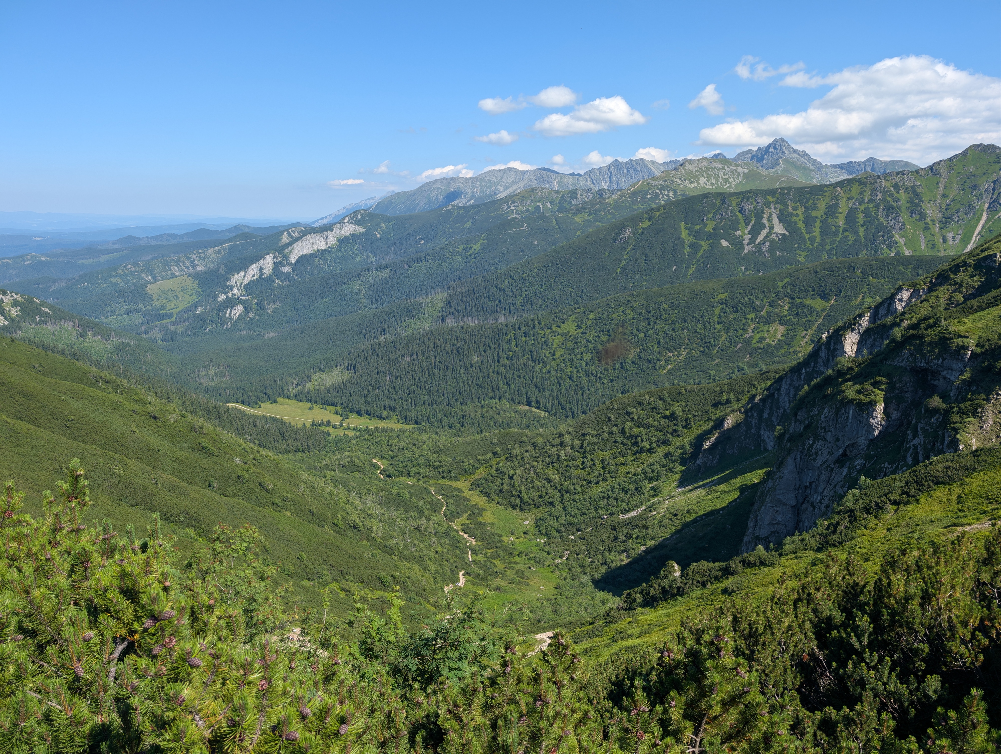
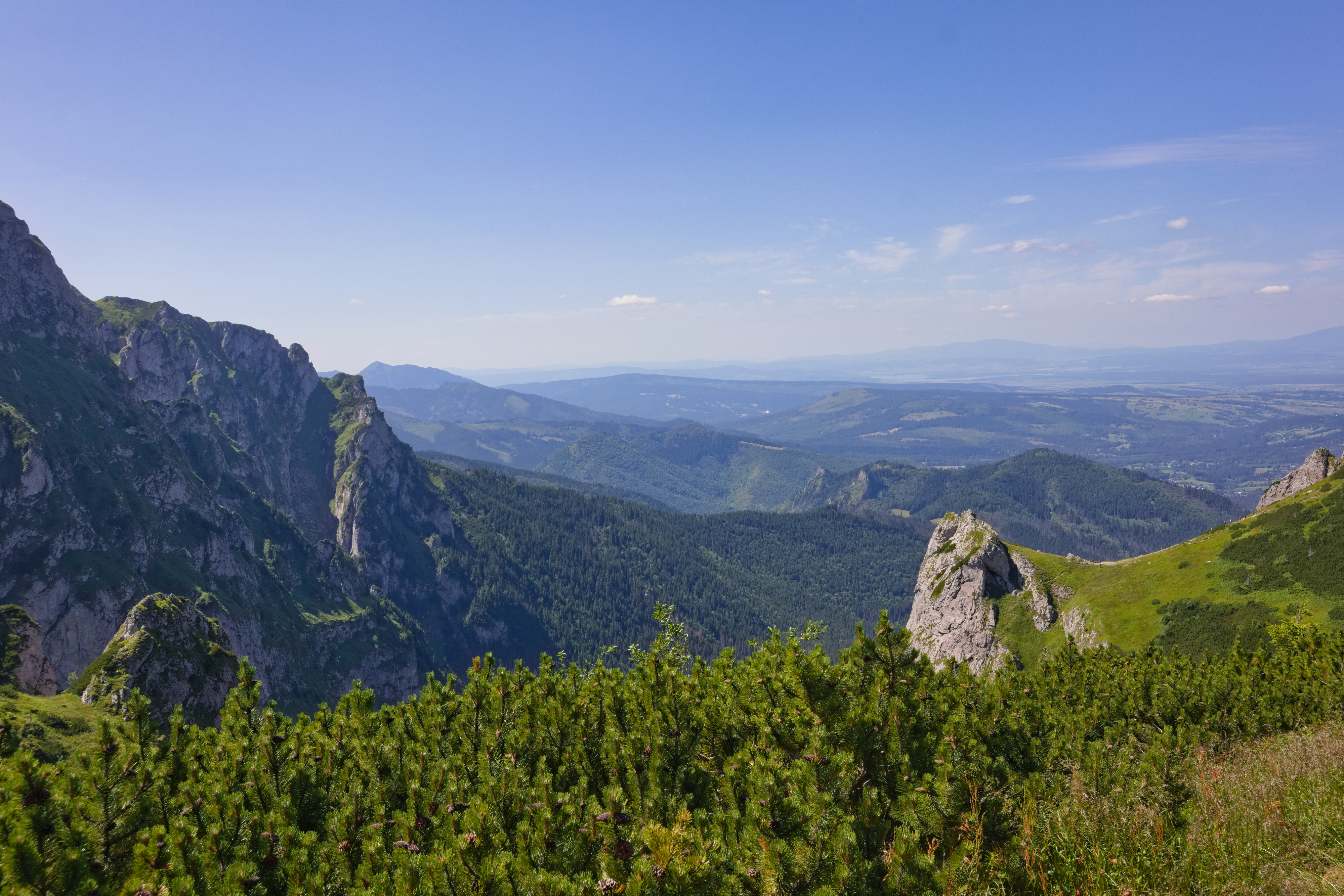
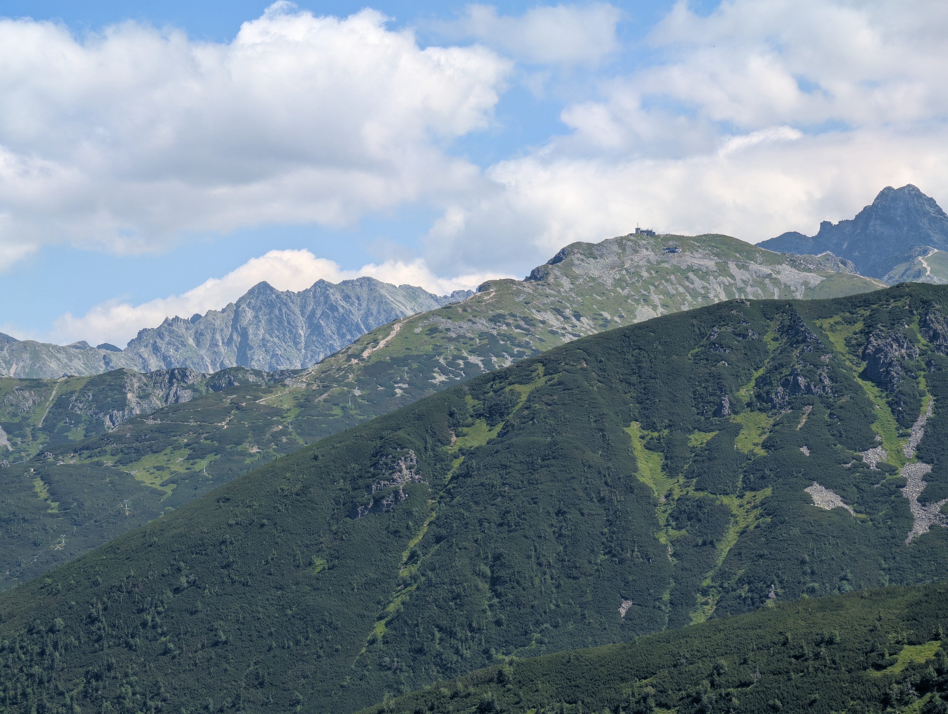
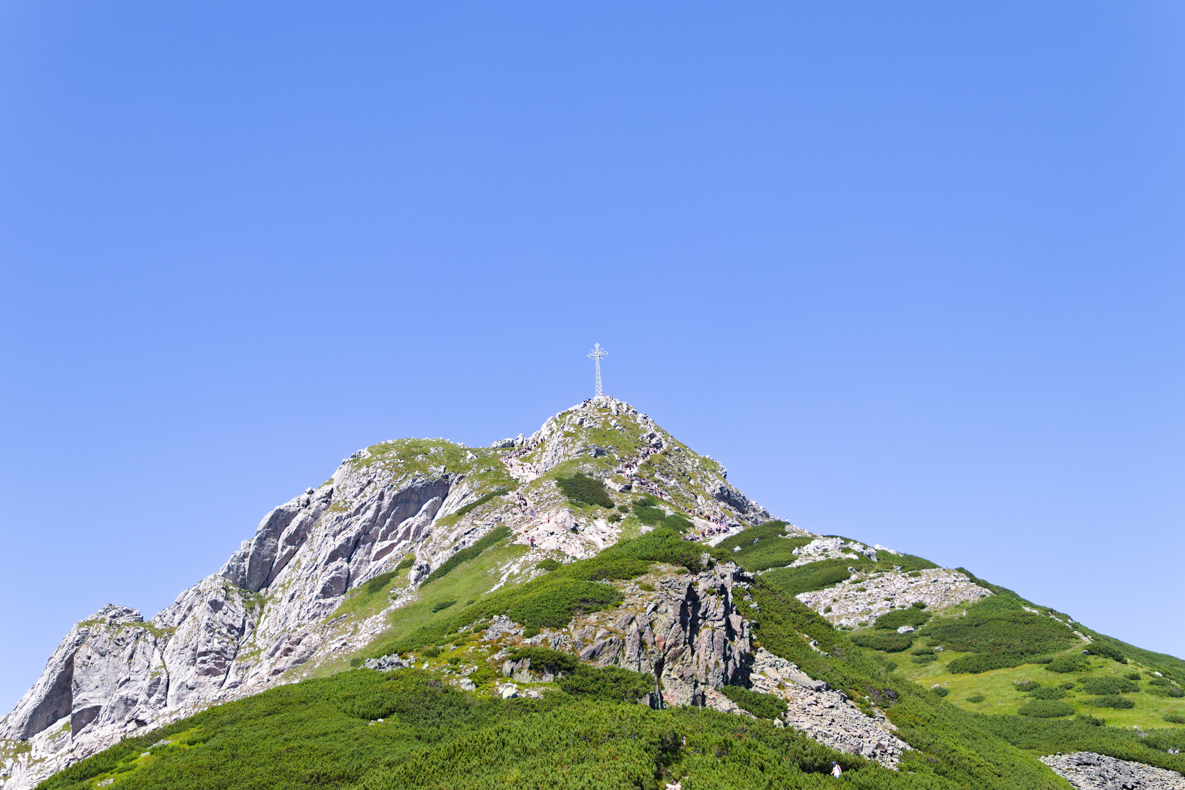
We continued towards Kopa Kondracka at 14:30 or so, and reached it (and the Polish–Slovak border) around 15:30. This time, we had 300m of ascent over about 1.5km of trail, so it was slightly easier going. The low highland vegetation slowly gave way to nothing, and the views kept getting better.
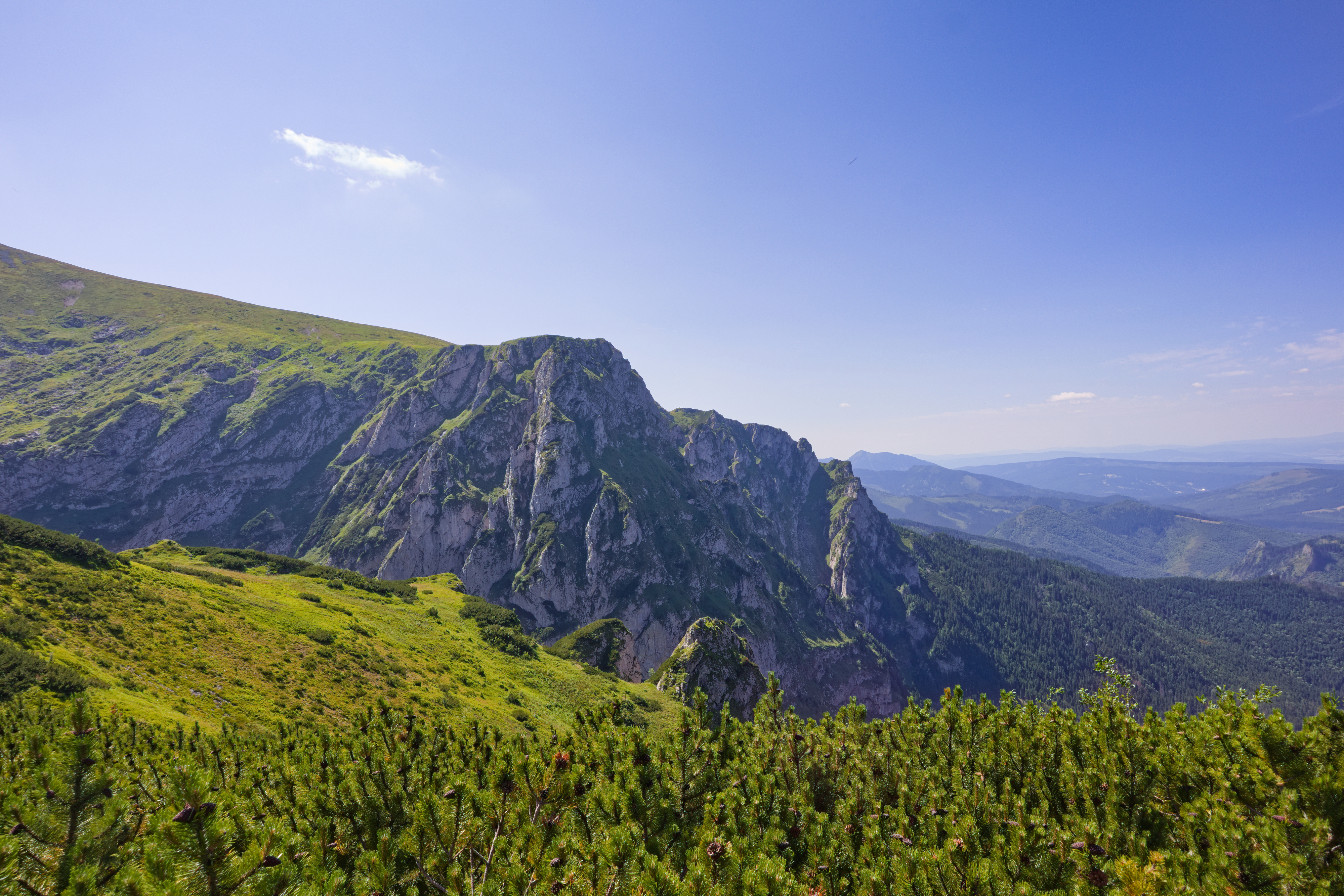
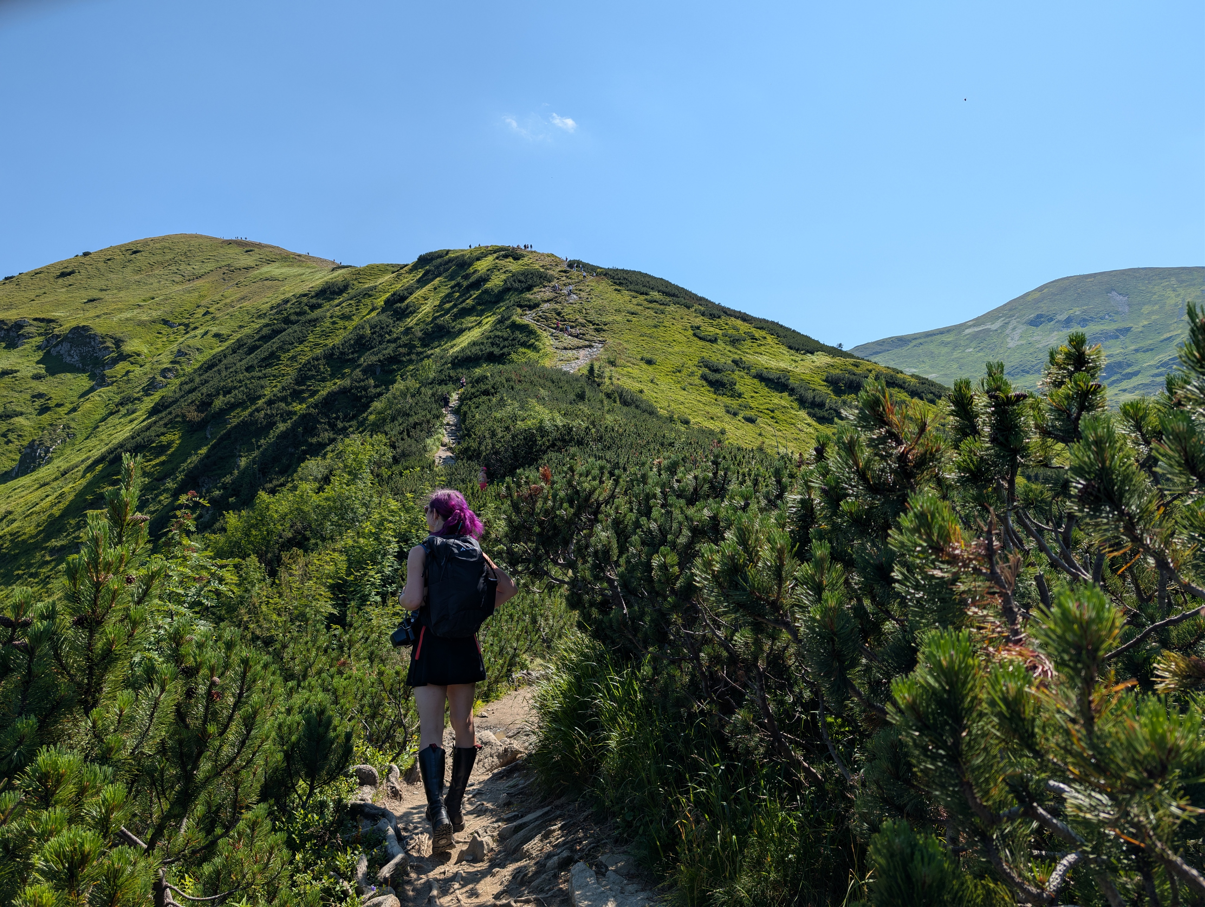
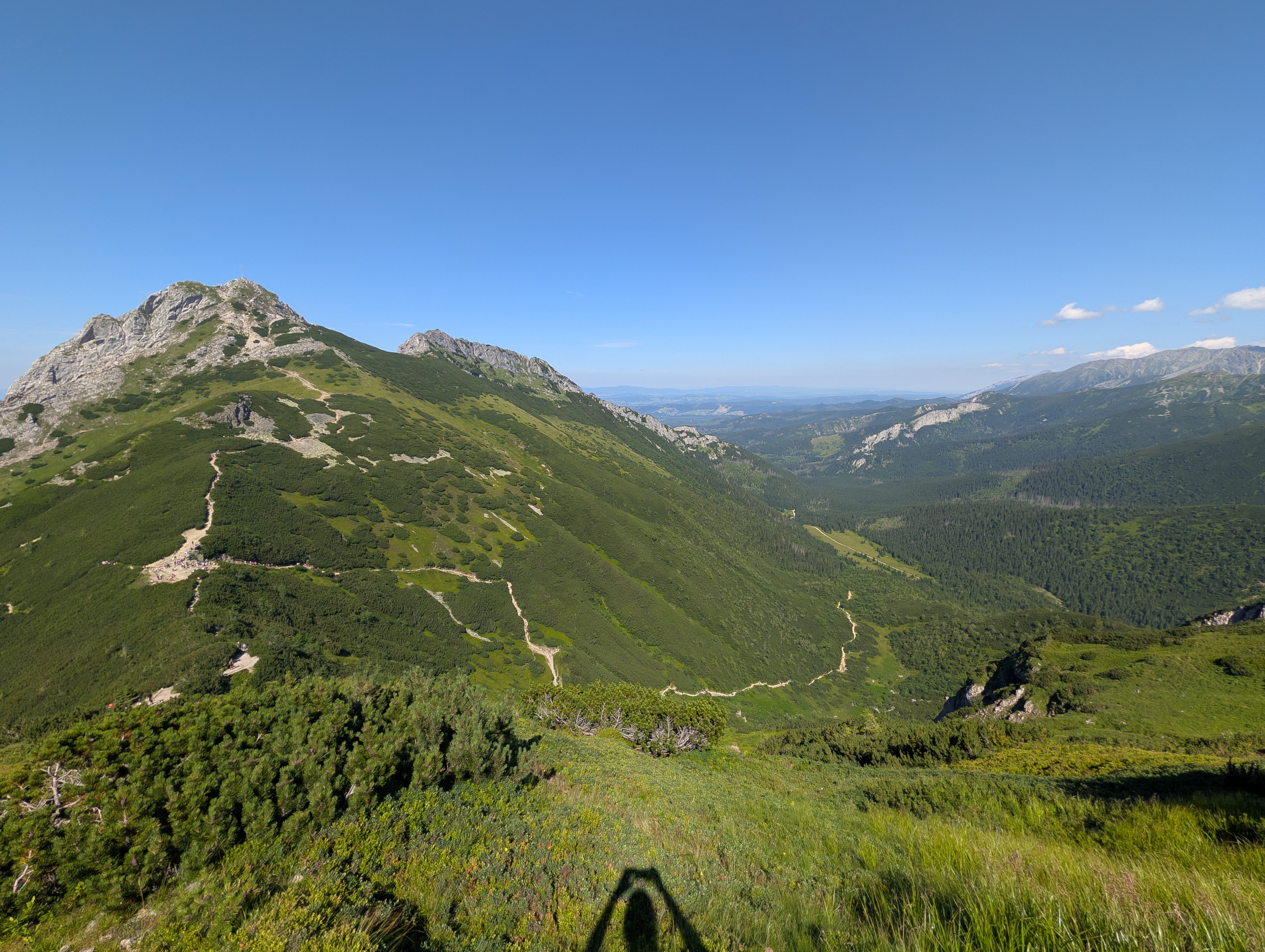
Atop Kopa Kondracka, it was time for our obligatory “cats sitting on border stones and making stupid faces” photo shoot (and a selfie with the camera placed on the border stone) – and of course, time to examine the Slovak side of the Tatras, which we had not seen before. We could also already see the ridge line (and border stones) that we would pass in order to get to Kasprowy Wierch (second picture below)
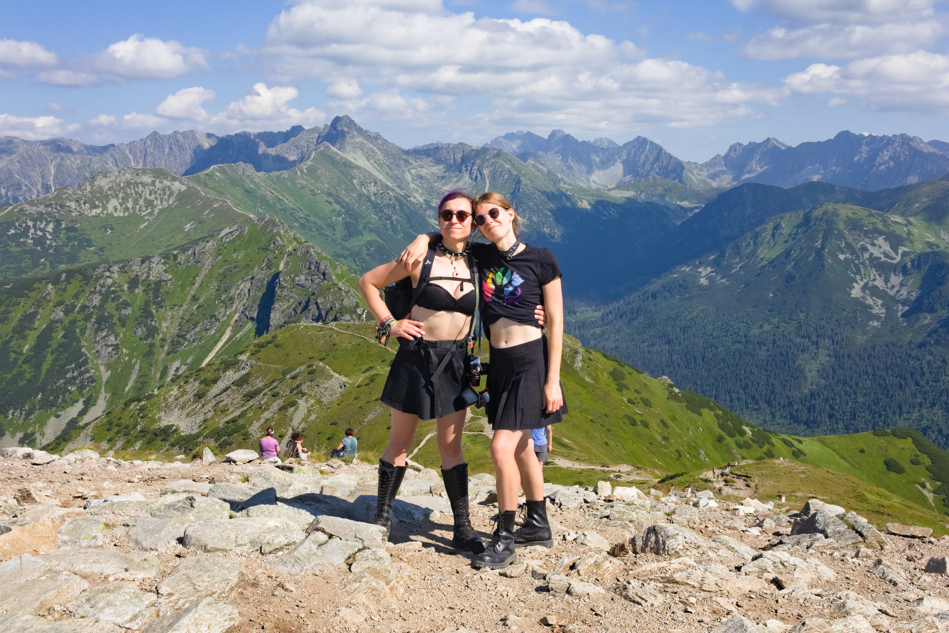
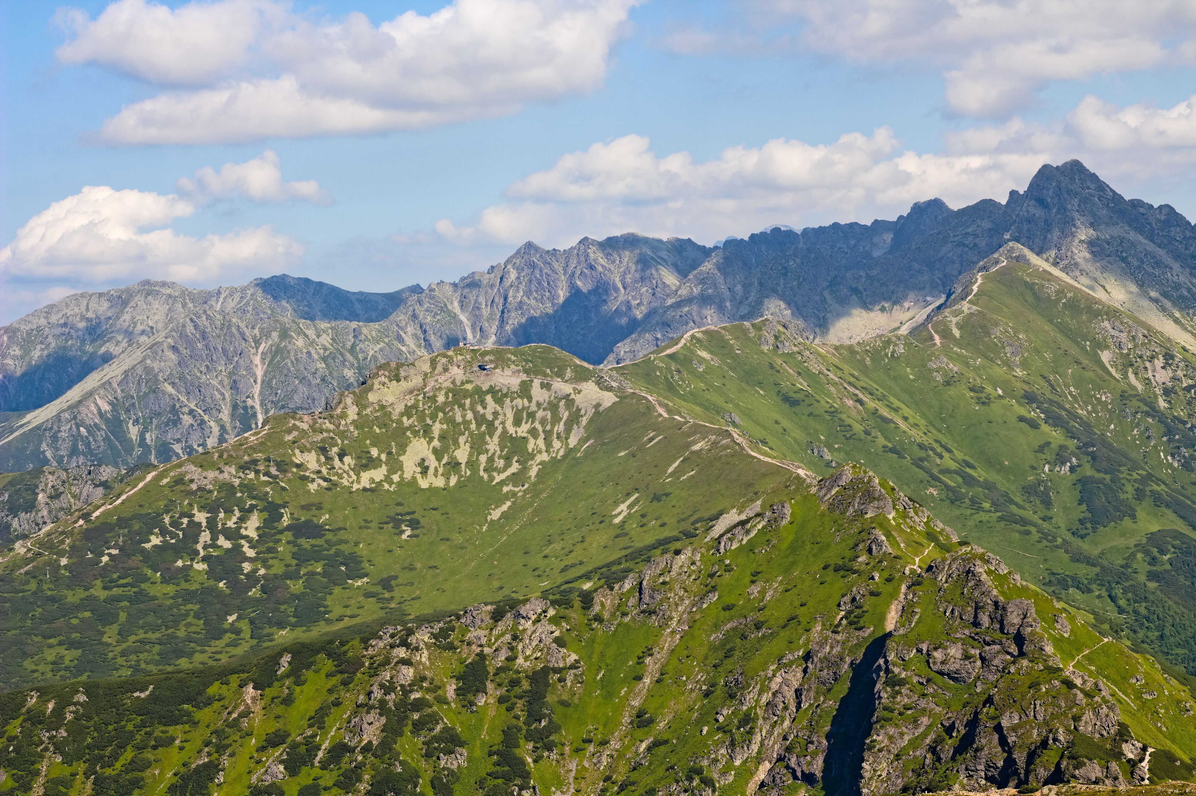
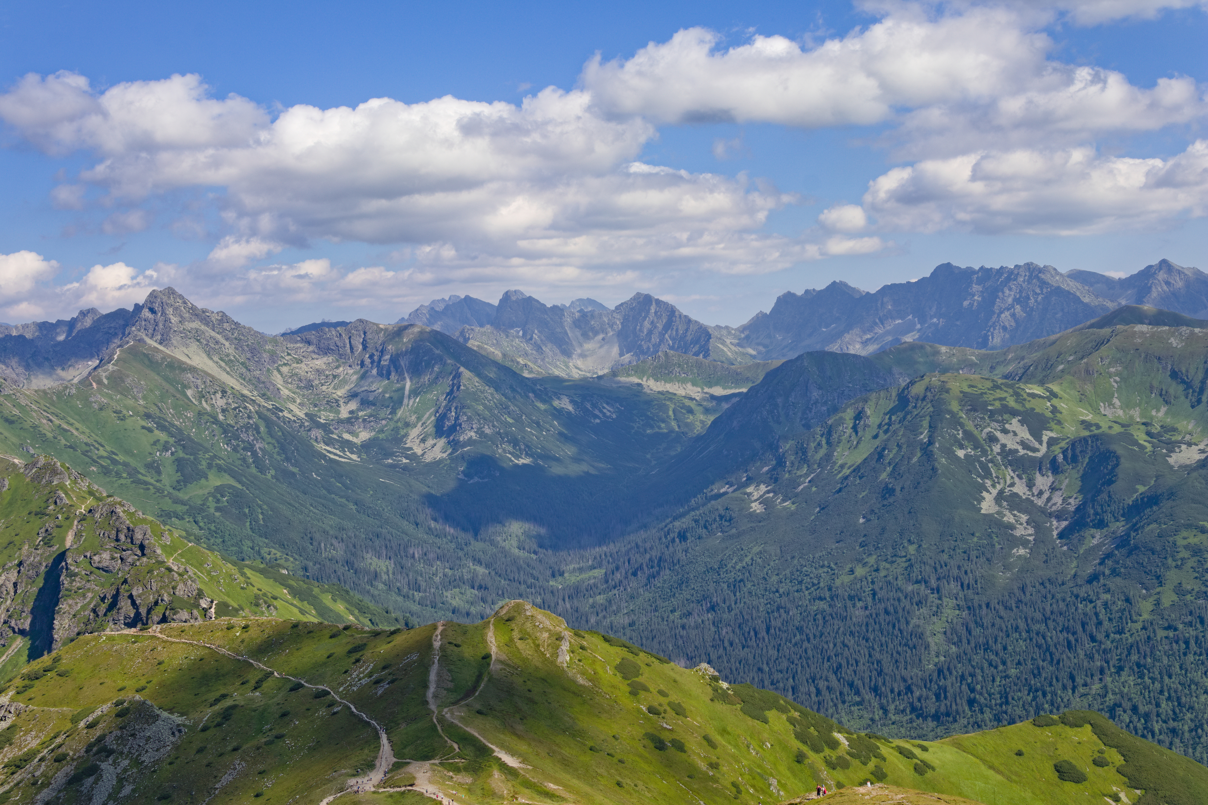
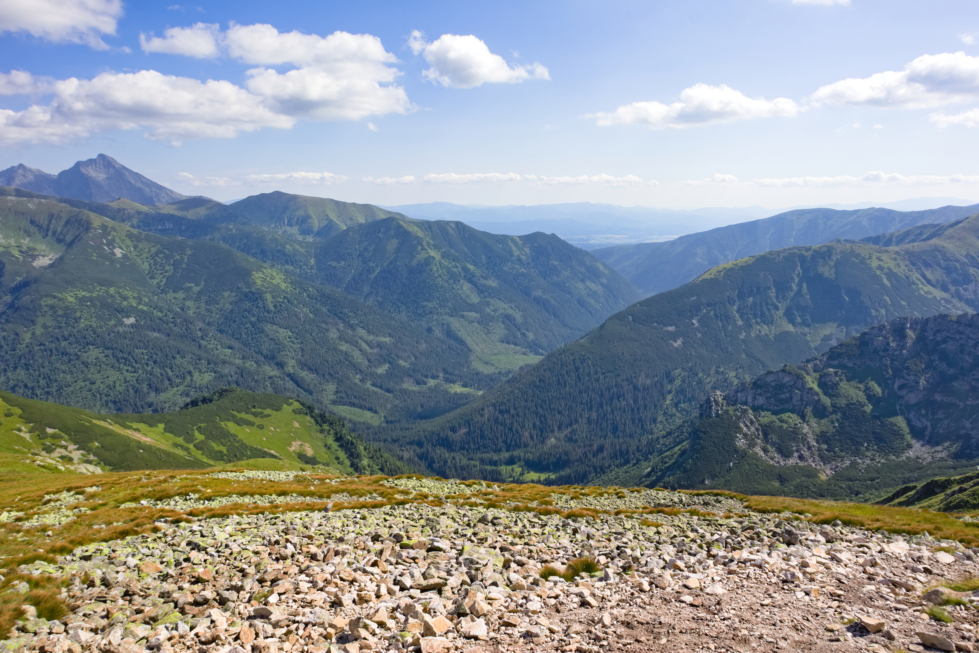
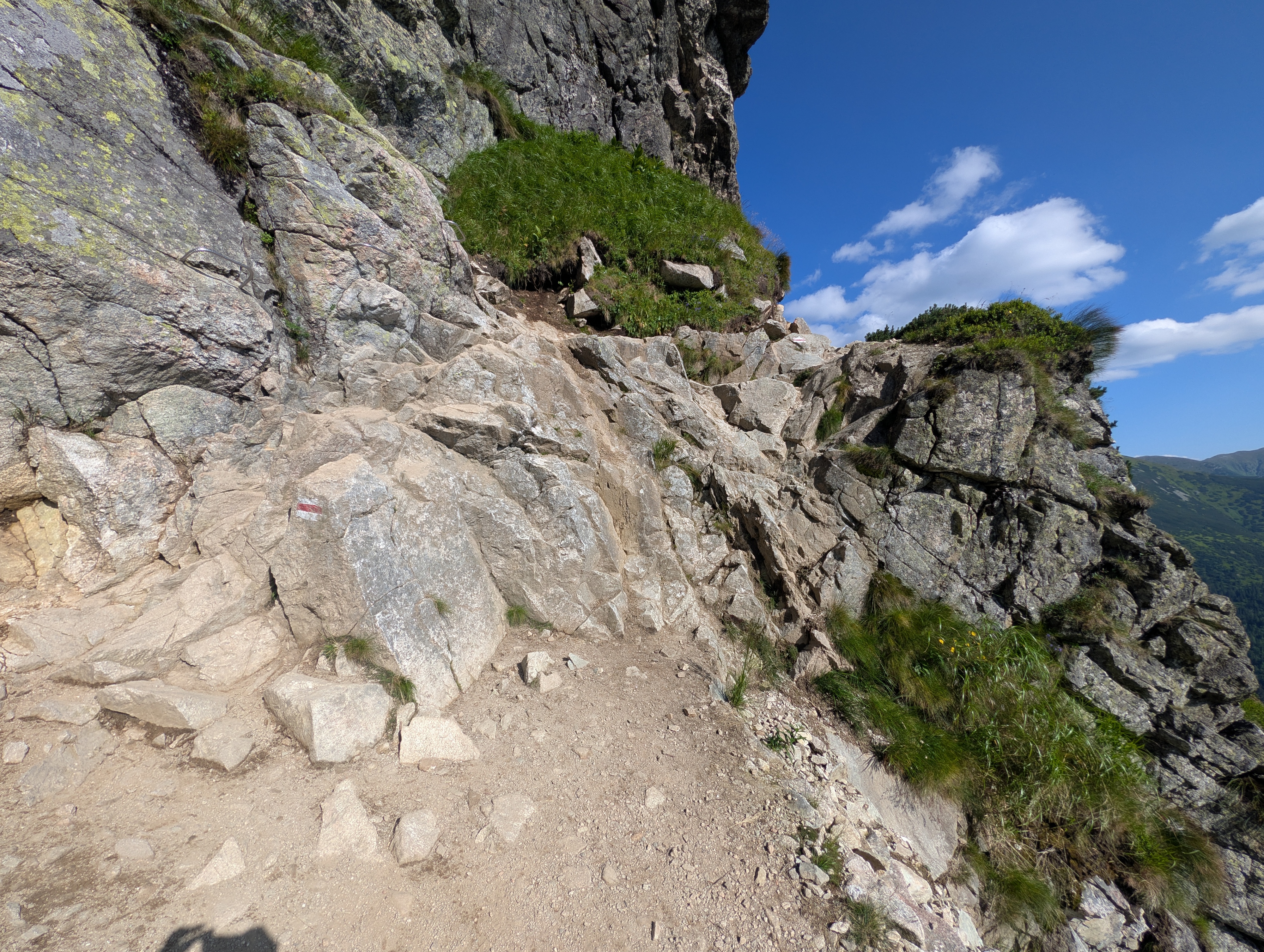
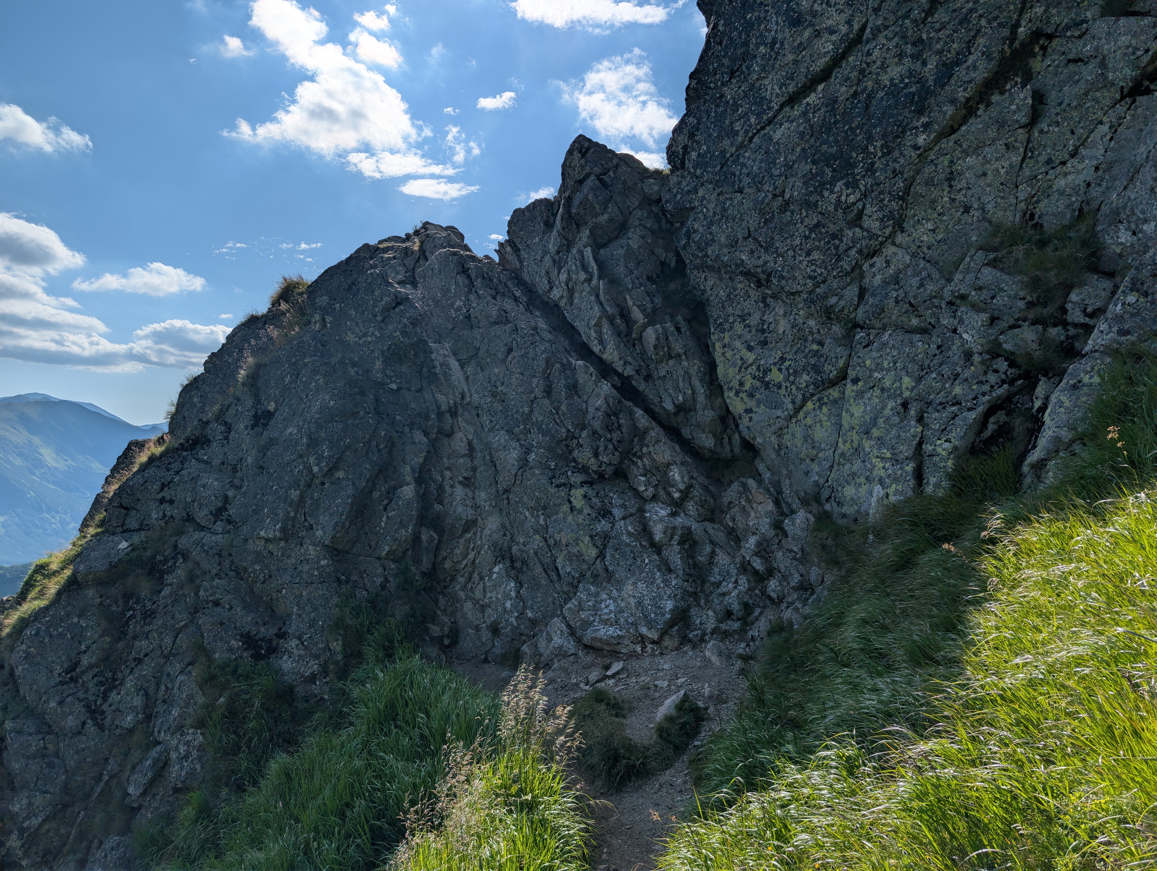
From this point on, we spent the next hours hopping between Poland and Slovakia, enjoying the afternoon sun in our back and the views into the valleys on either side of the ridge line. Occasionally, we would wind up below the ridge, essentially walking through a meadow sloped at a 45° angle.
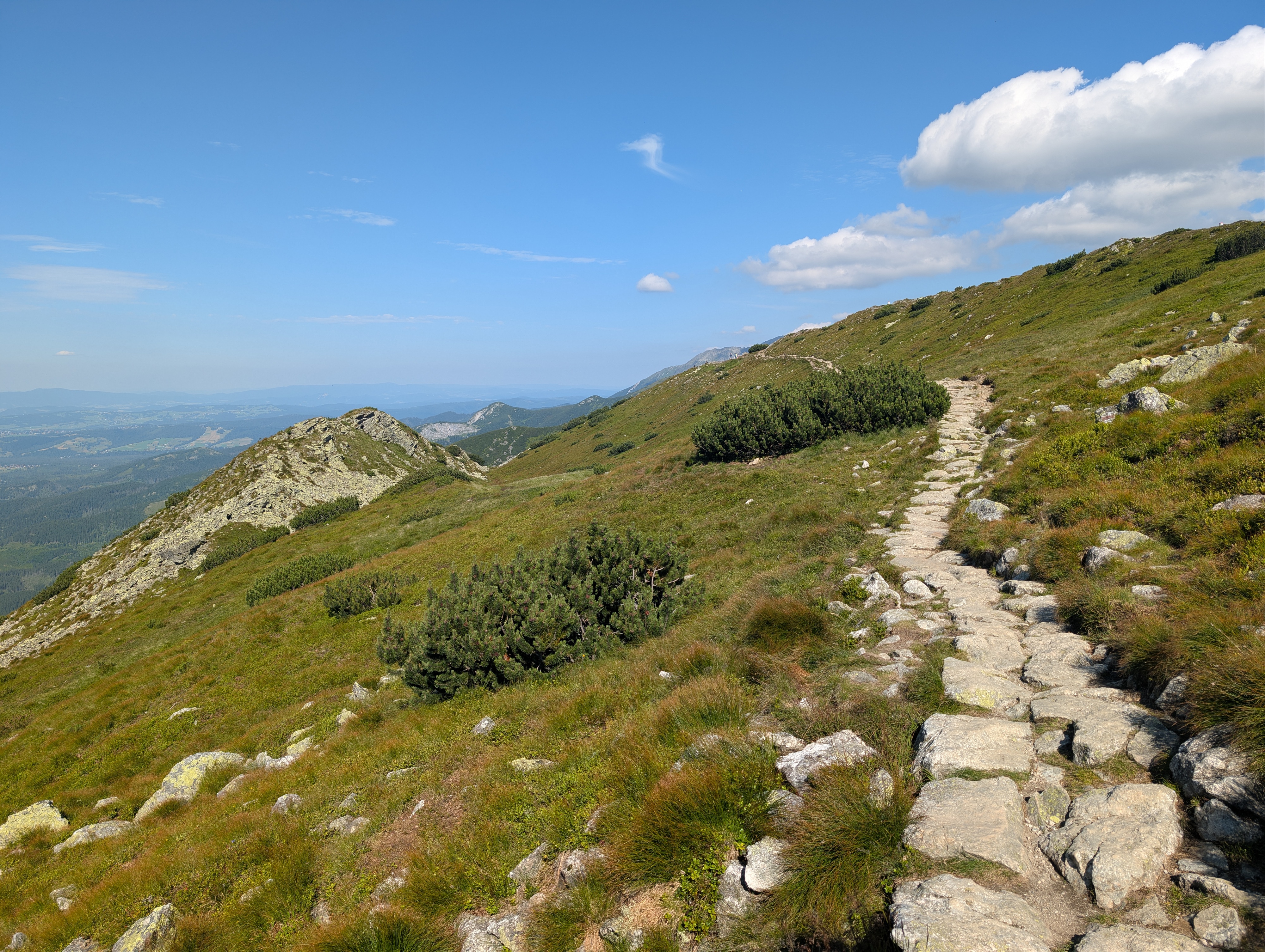
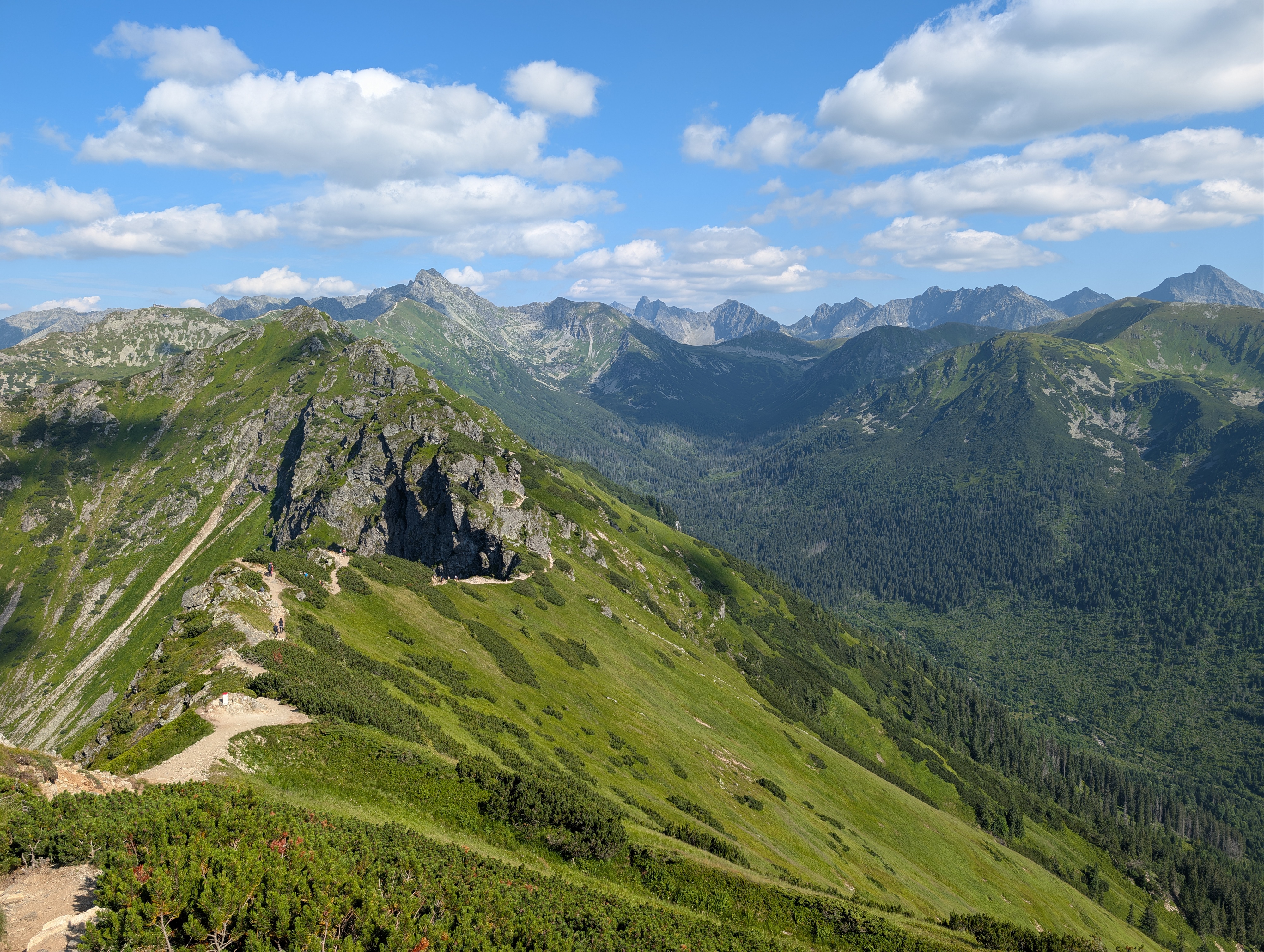
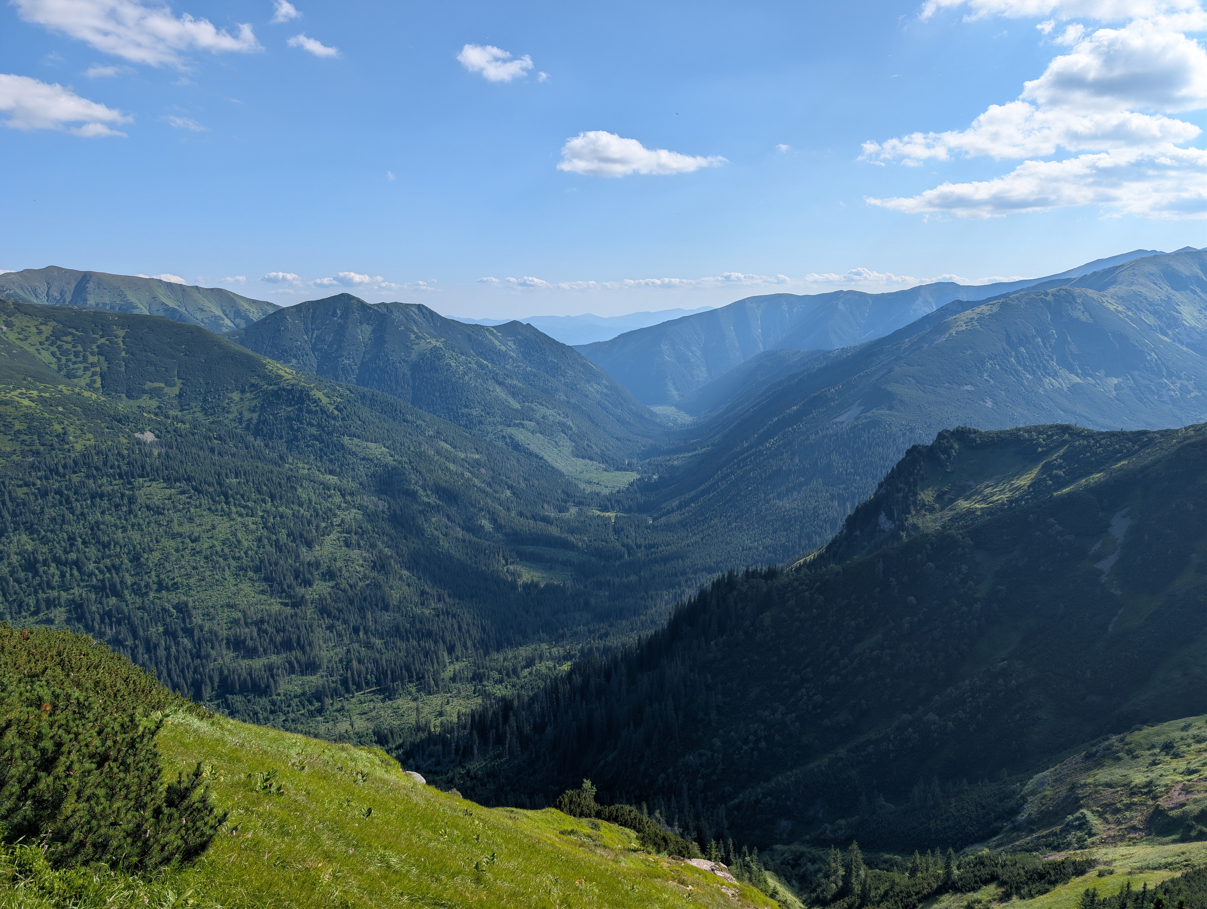
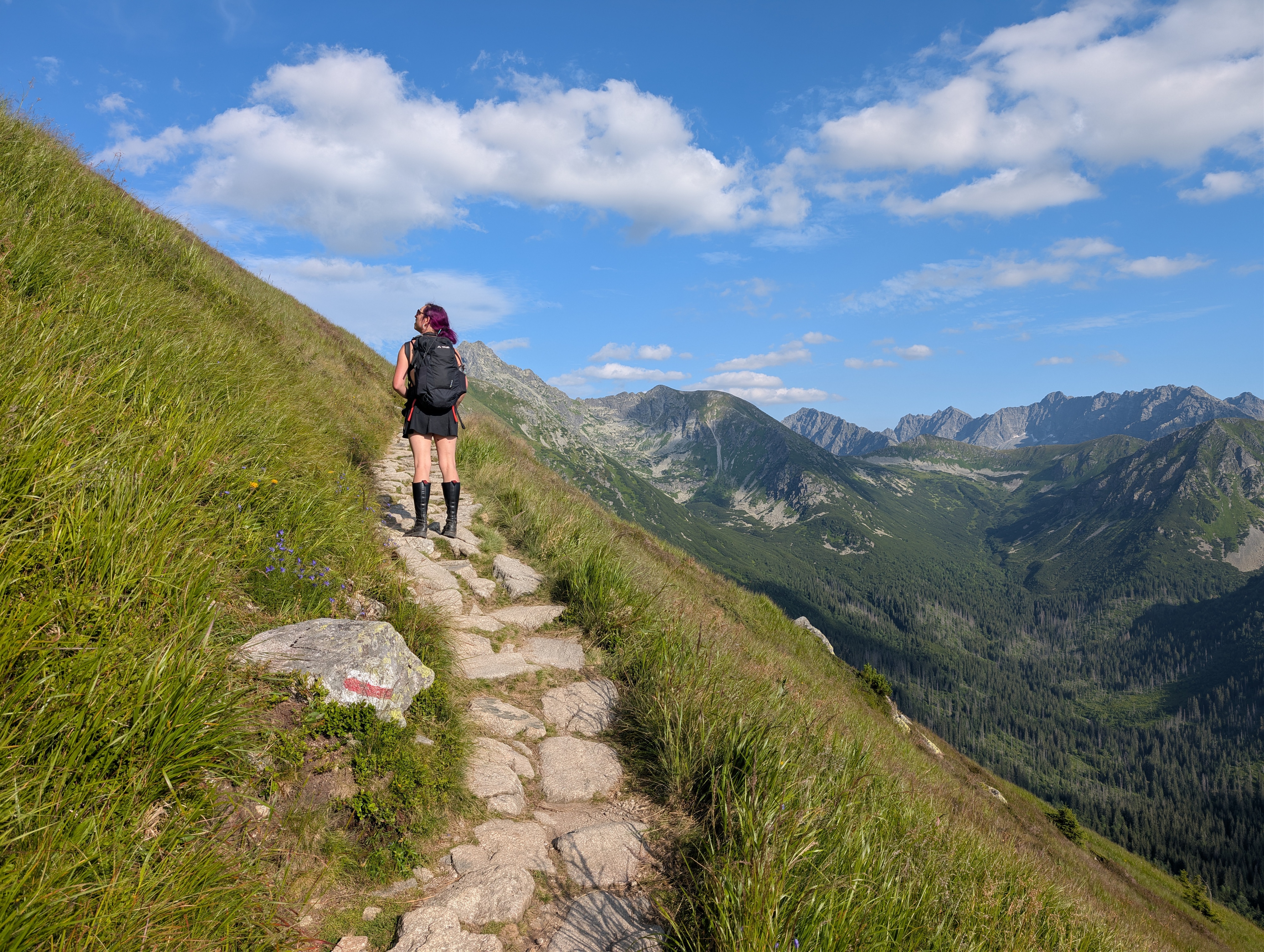
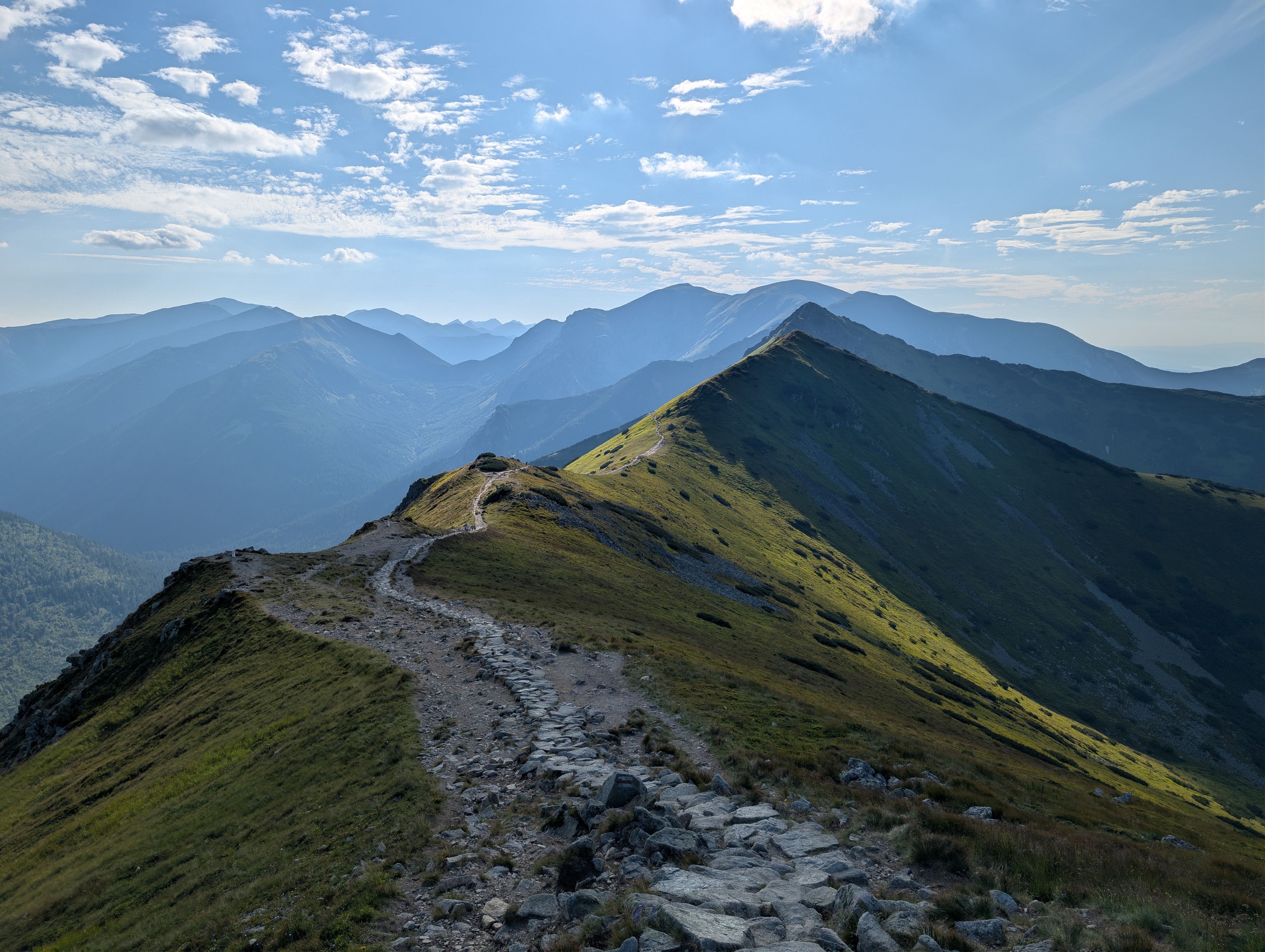
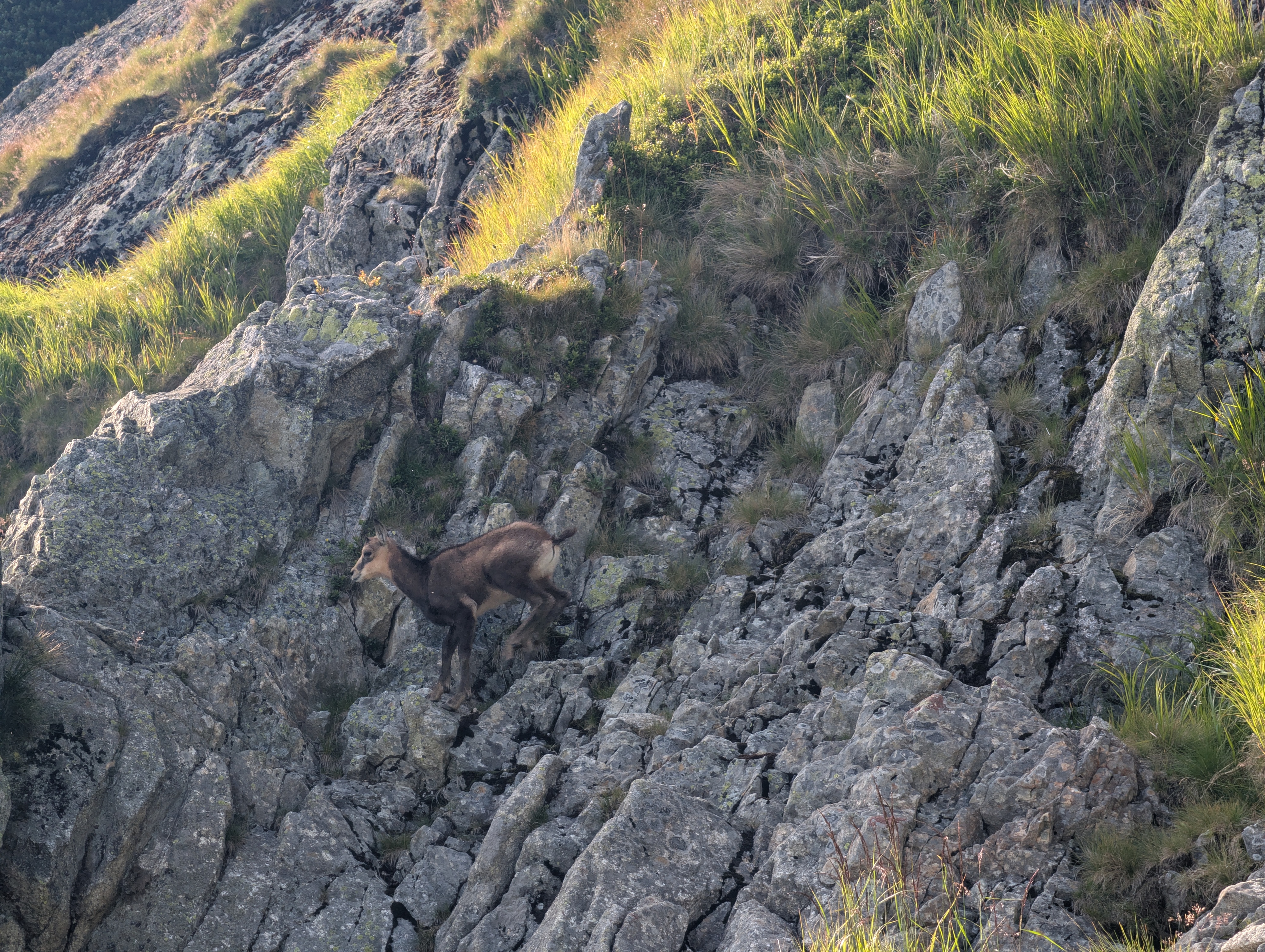
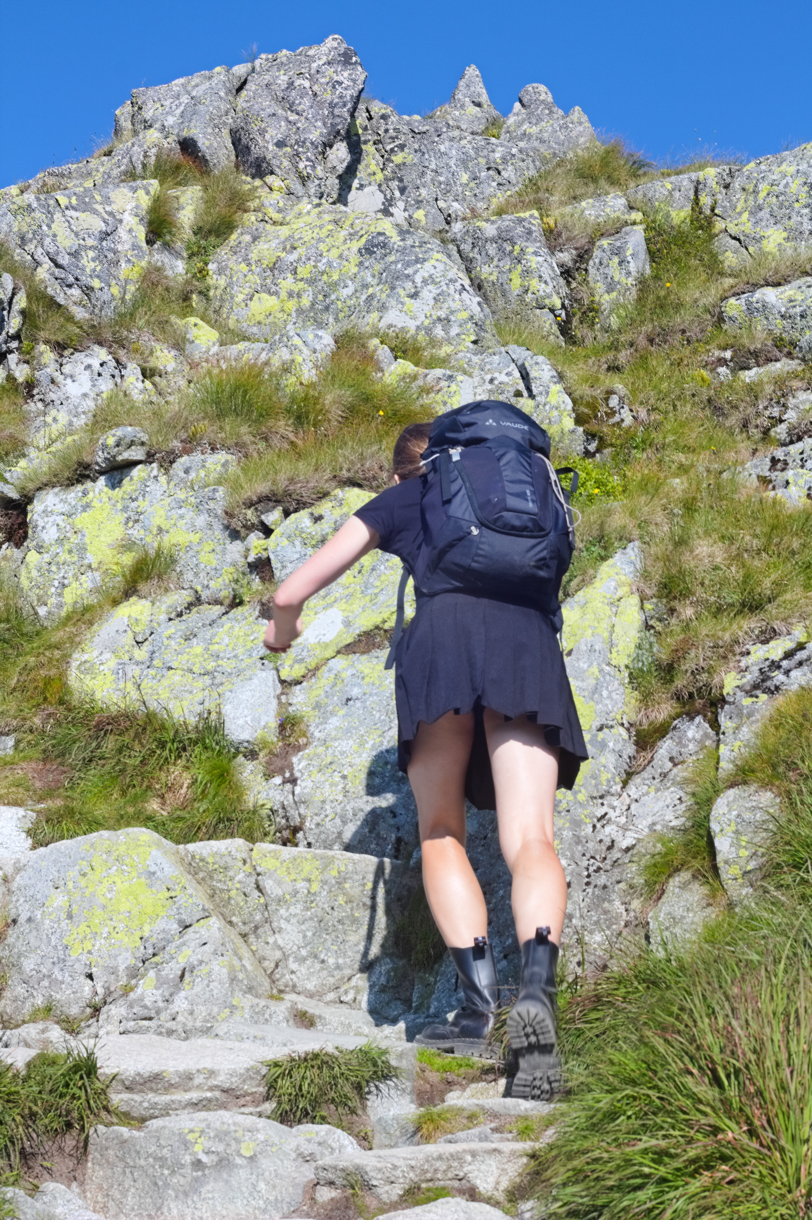
The trail had one climbing element with hand-holds, and one without that was not actually meant to be hiked across – I just ended up there because I didn't see the marks on that side of the rocky outcrop. Nevertheless, it was fun, and we also got to see a goat that was decidedly better at hopping across the rocks than we were.
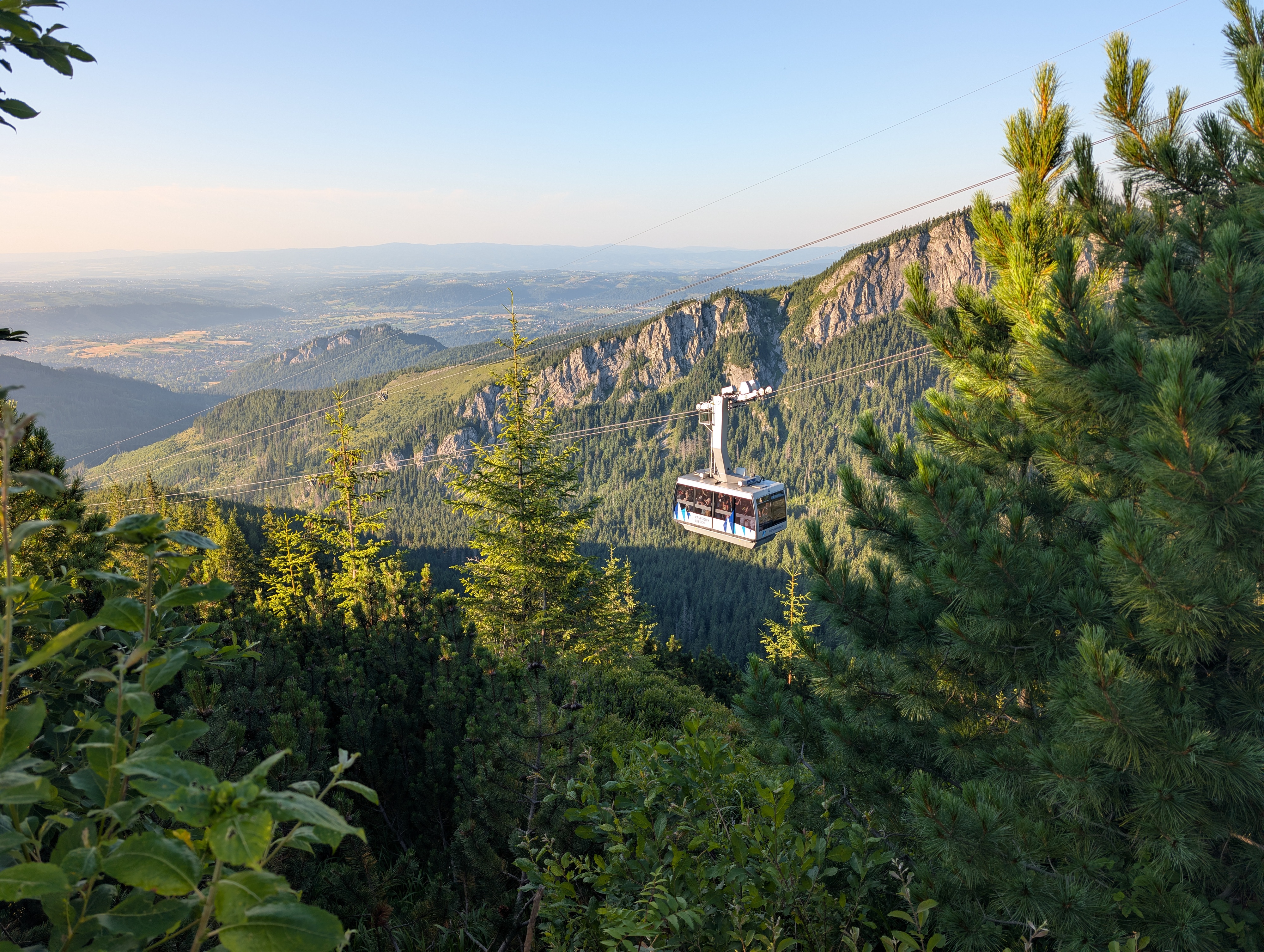
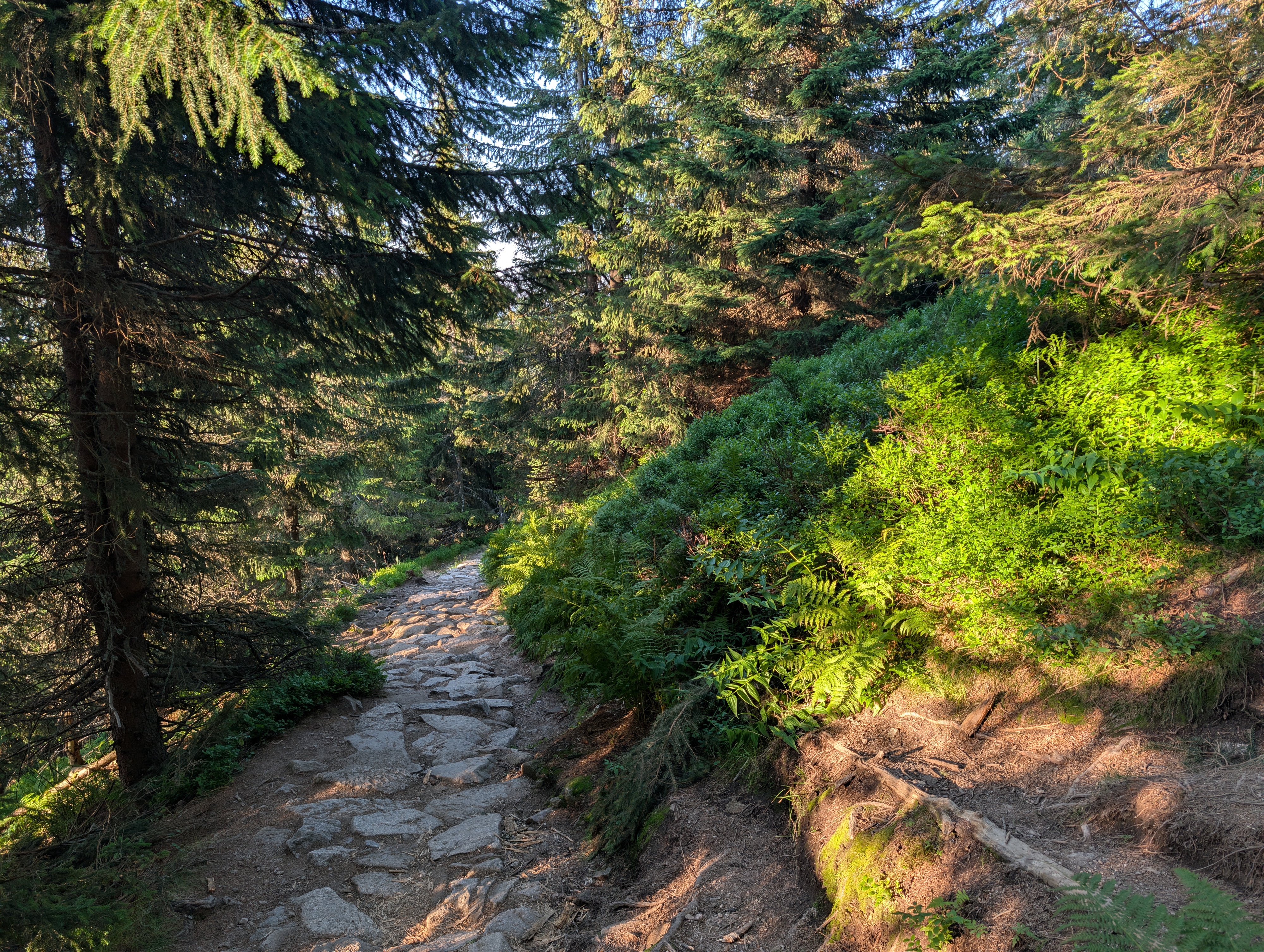
We reached Kasprowy Wierch at 18:00, briefly looked down into the valley that we would be traversing on the following day, and then started the descent back to Kuźnice. We chose the direct route that zig-zagged along Sucha Czuba (DE) and also frequently crossed paths with the cable car Kuźnice – Kasprowy Wierch. Initially, we meandered across (more or less loose) rocks with little vegetation around us, but eventually, we got back the forested areas of the Western Tatras.
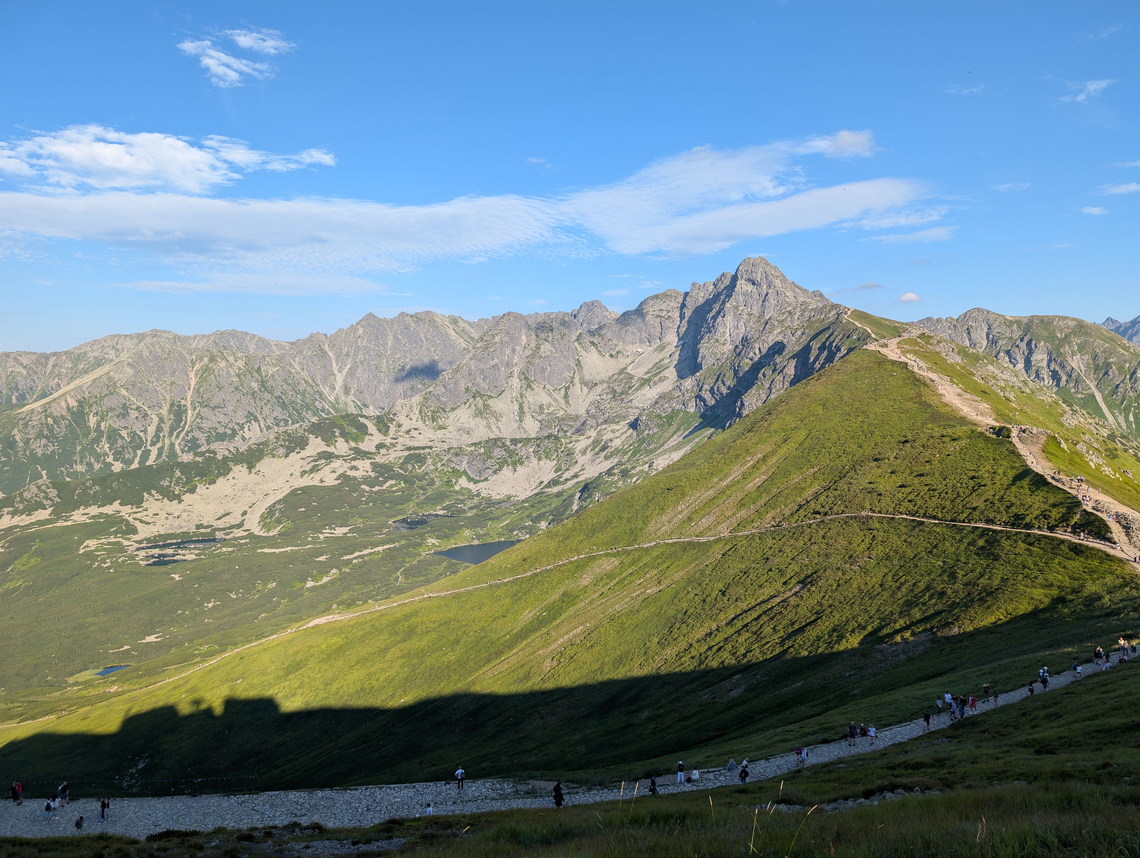
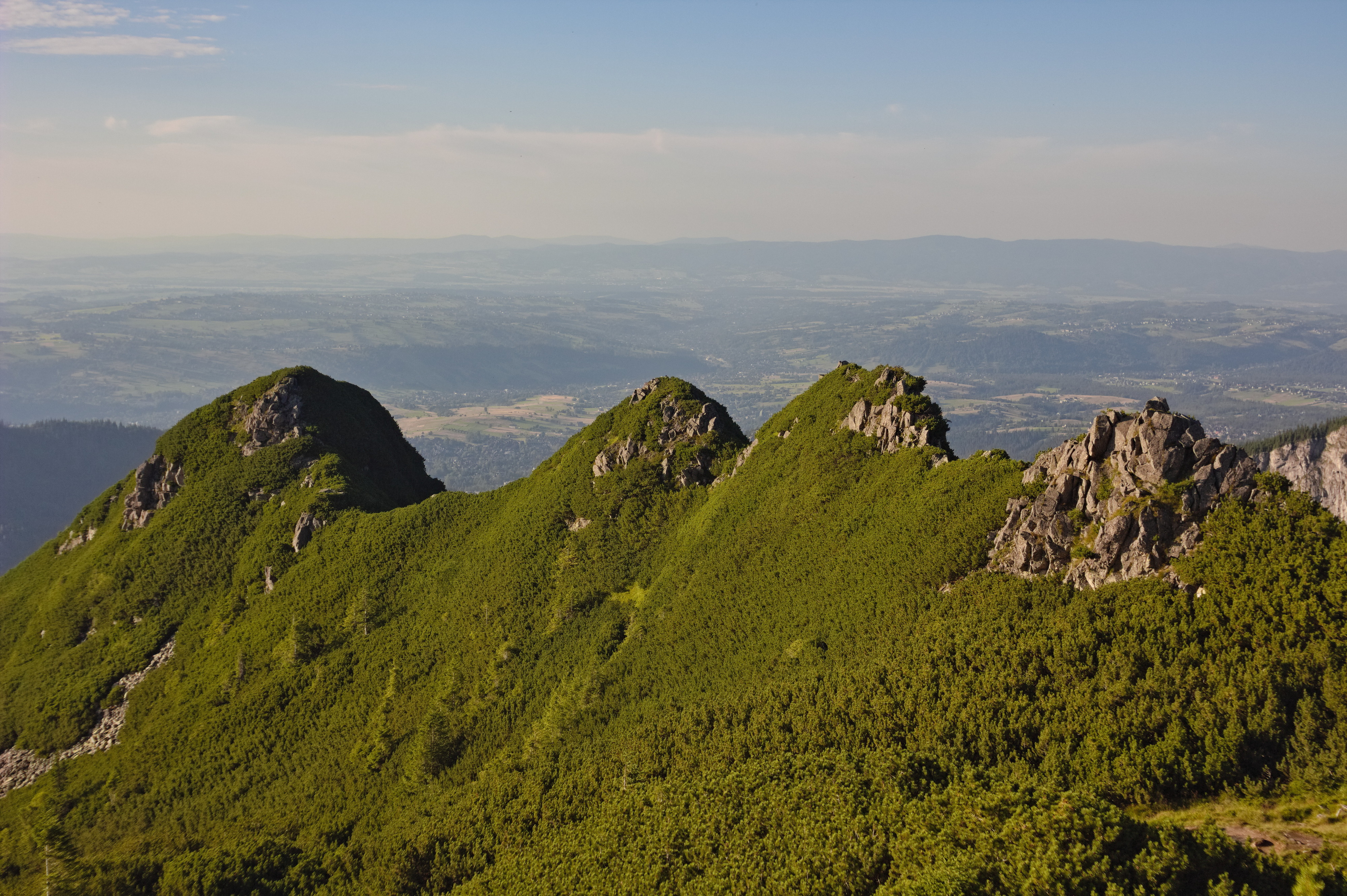
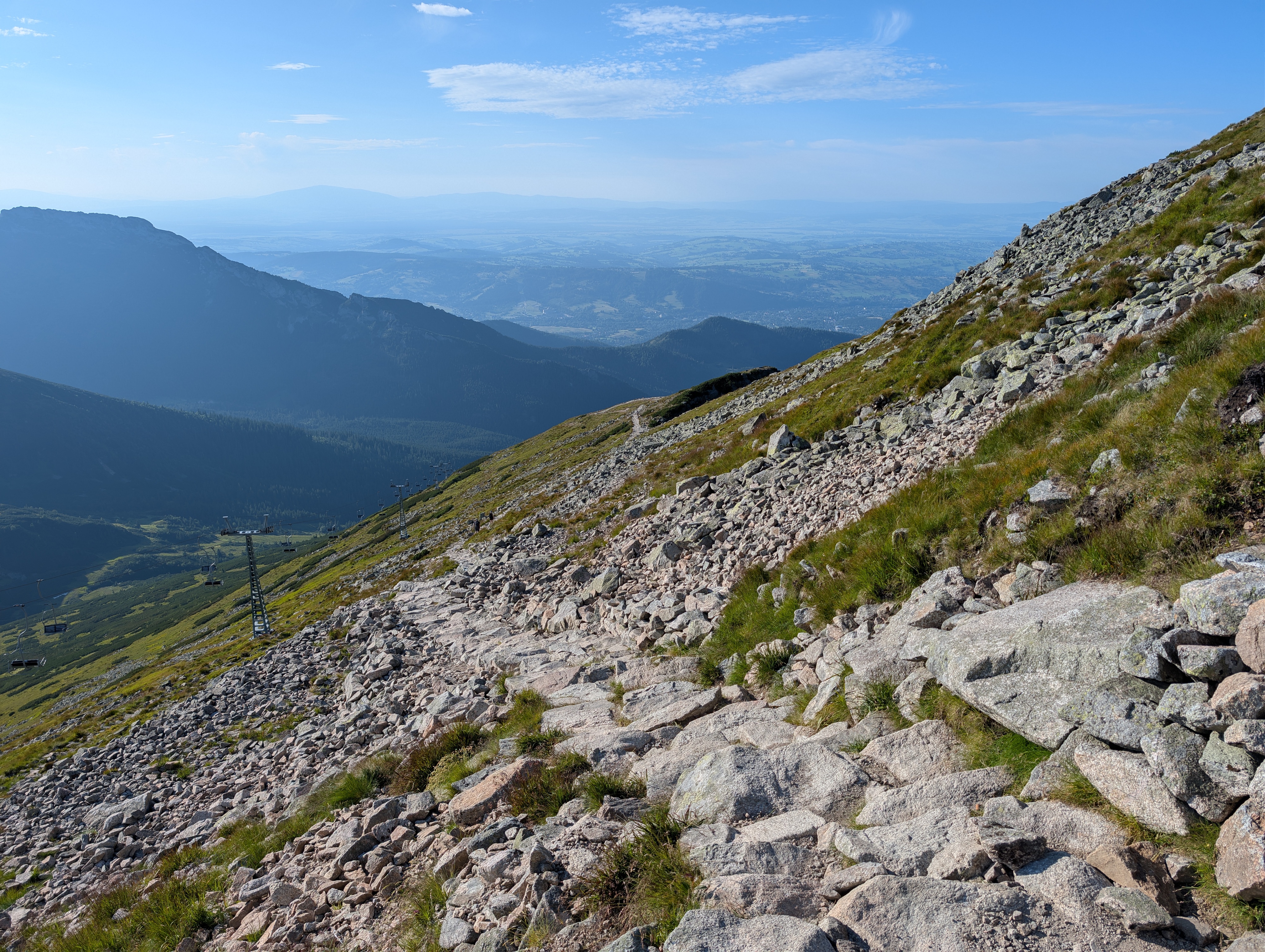
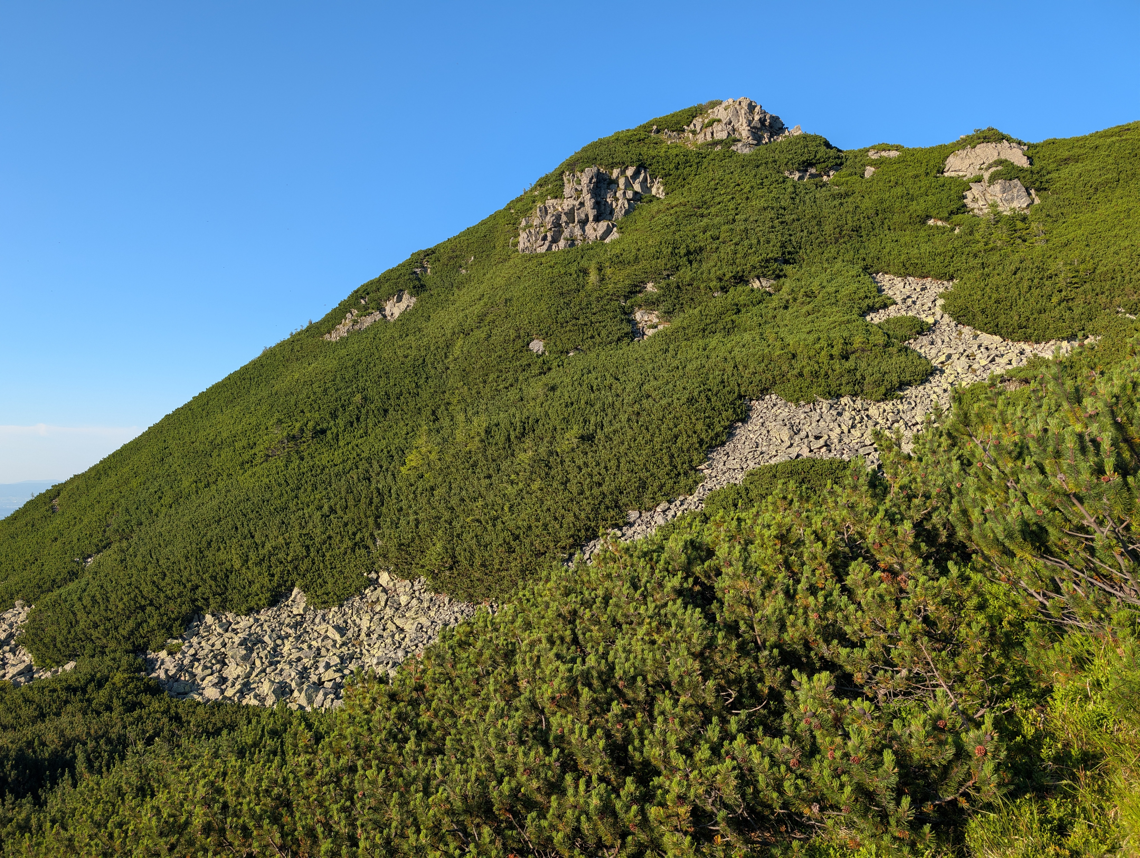
We got back to Zakopane Bystry at about 20:00, and ventured into town for dinner. In total, this trip with its 20 km of horizontal and 1,380m of vertical travel and lots of photo breaks took us about 10 hours. More photos at lib.finalrewind.org/Kopa Kondracka 2026.